Southern Charm

Southern Charm

Back in 2020, my plans were to continue traveling to some eastern Asia countries. However, the pandemic of COVID-19 spread around the globe, and most countries, including Saudi Arabia, went into lockdown. The first months were so difficult, so I spent it setting up my website and gaining more experience in editing.

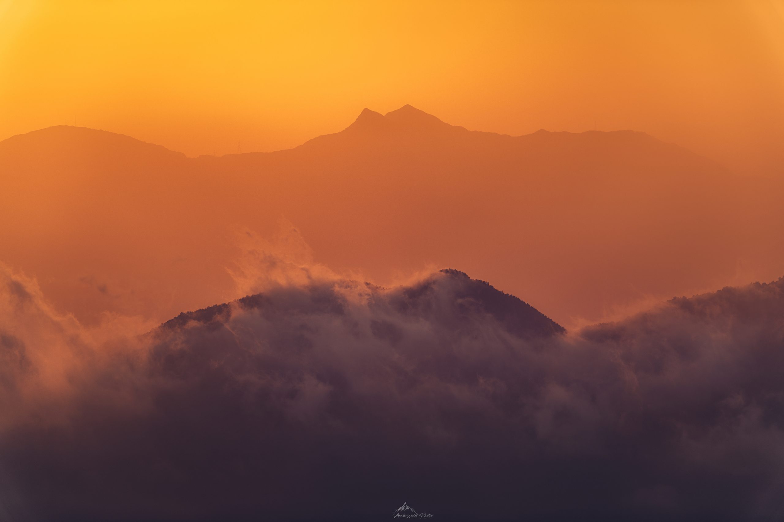
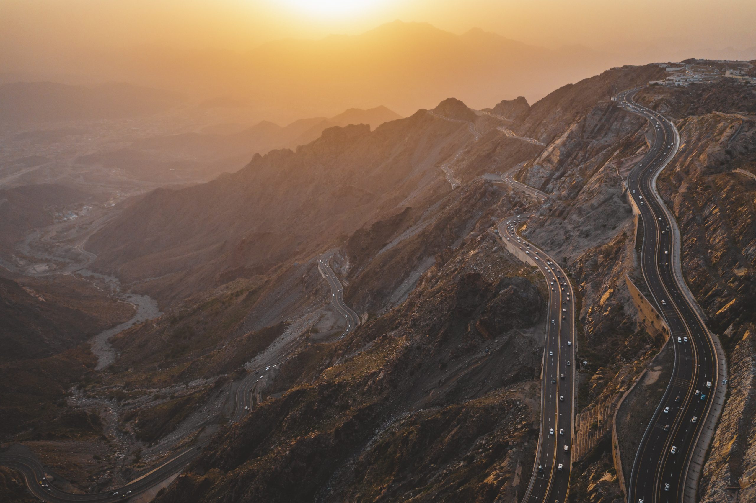
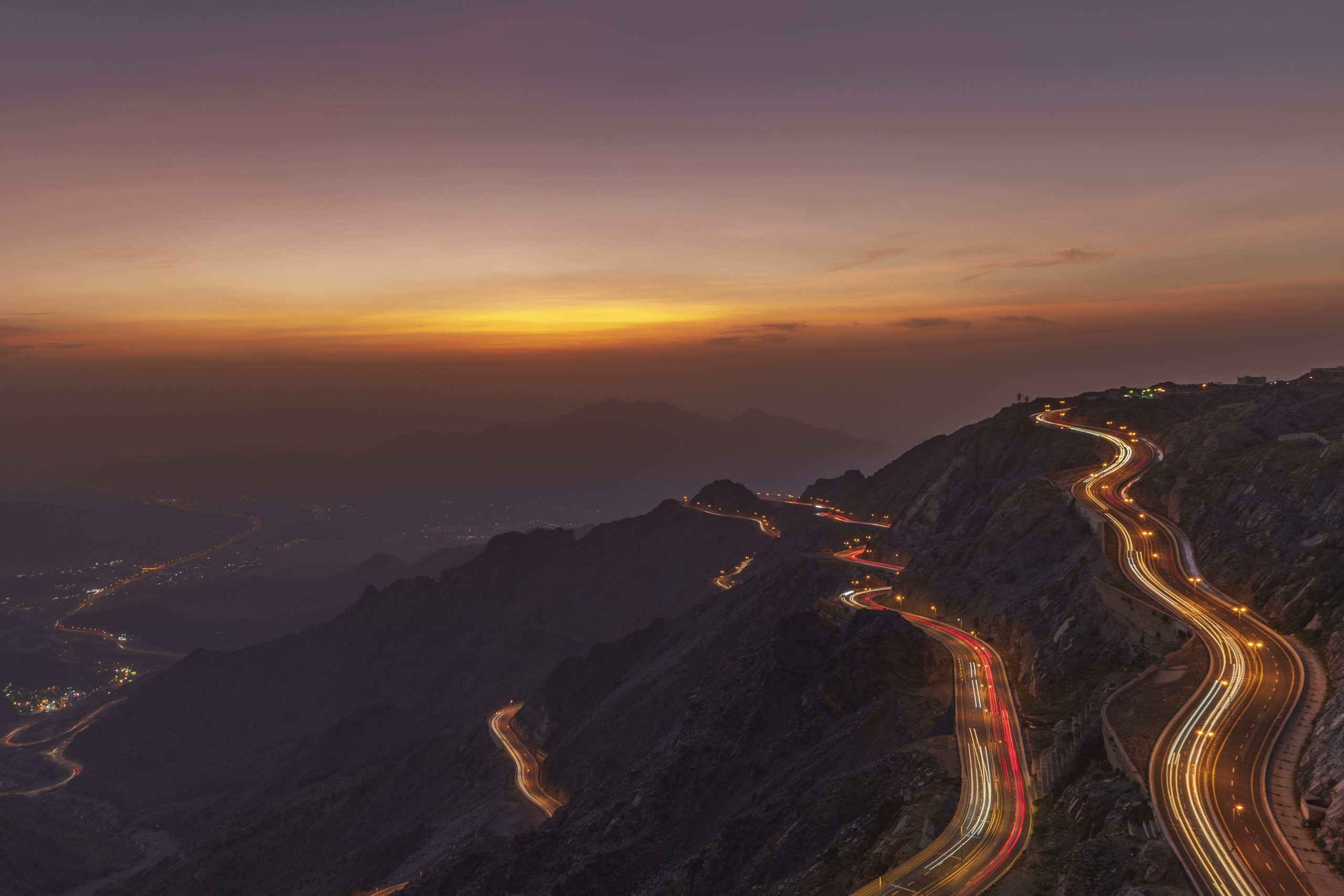
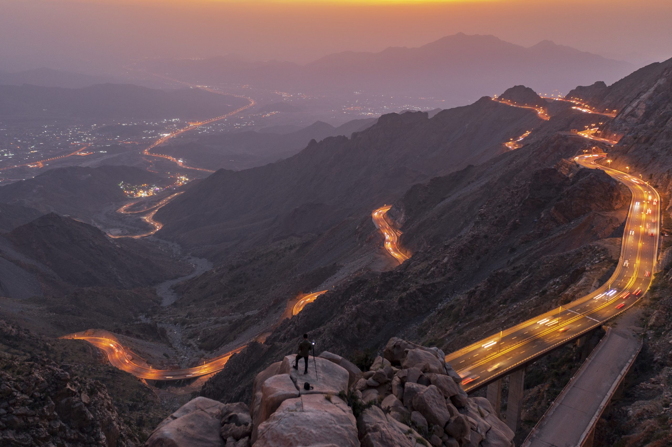
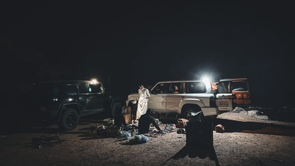
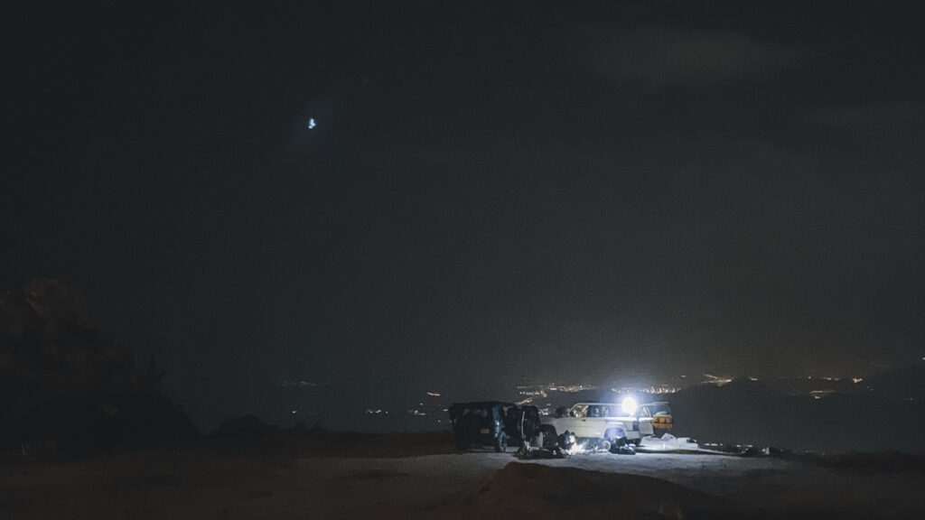
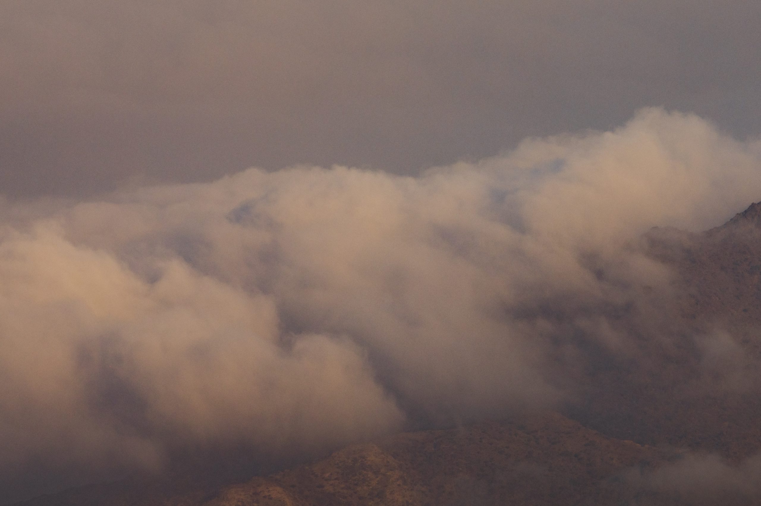
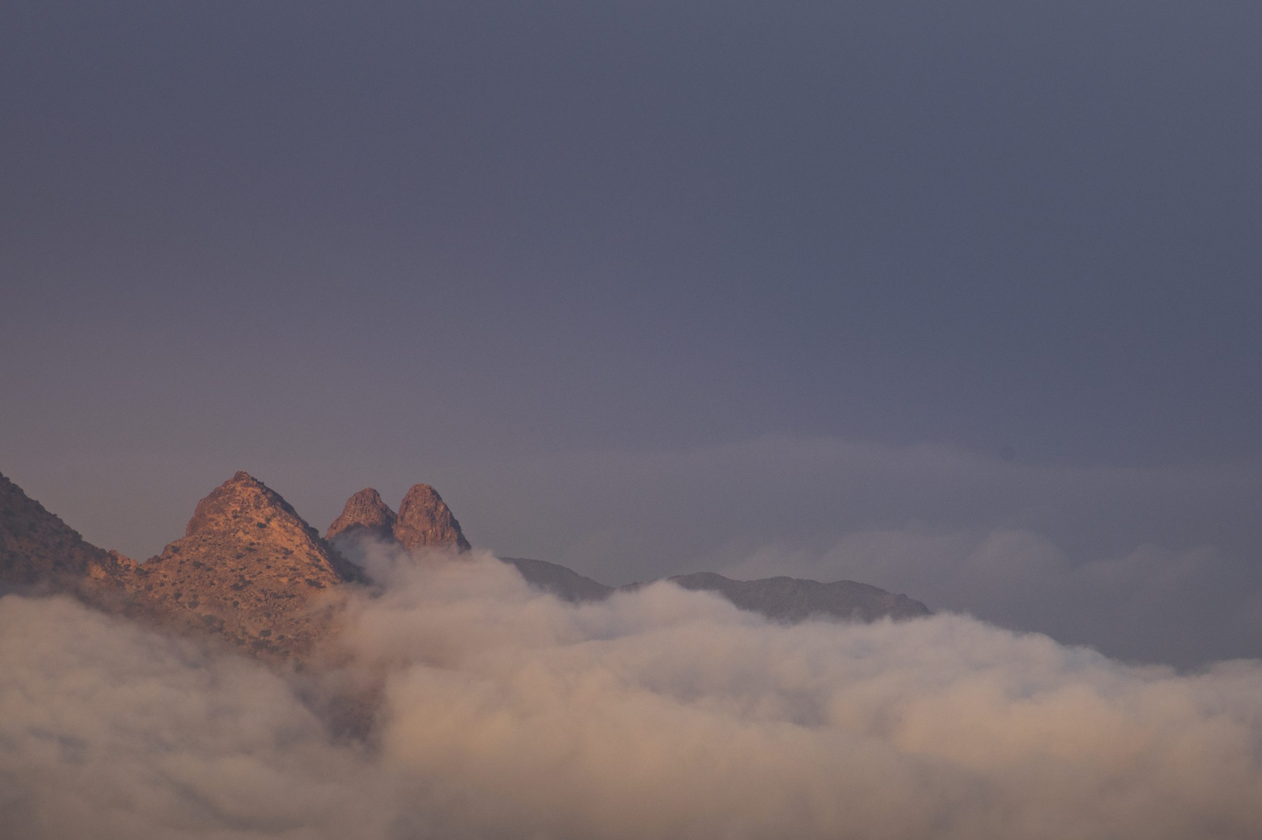
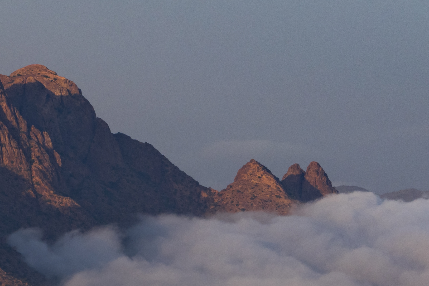
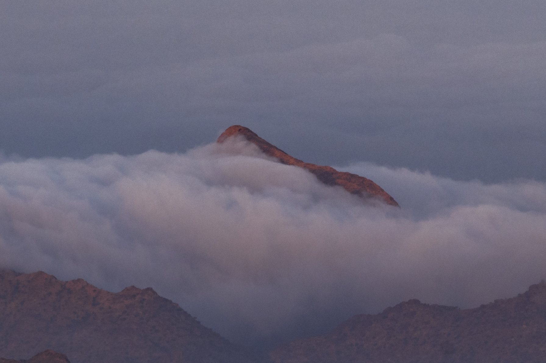
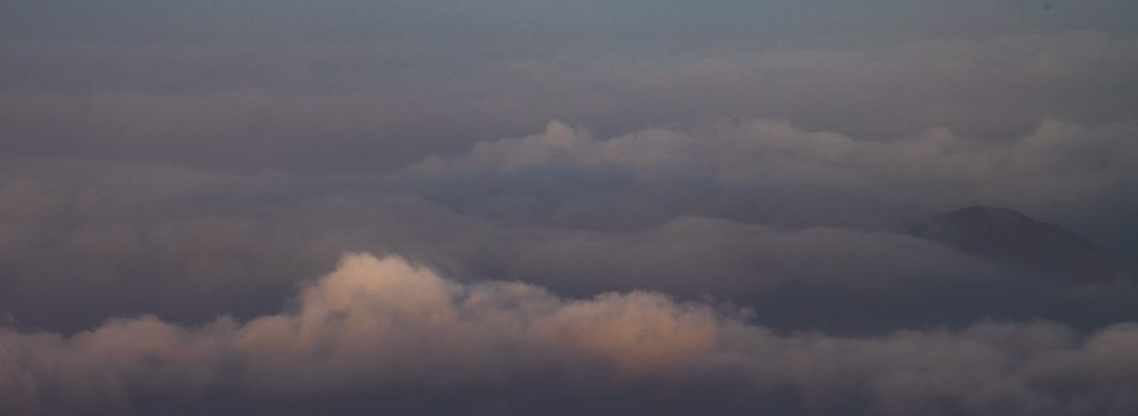
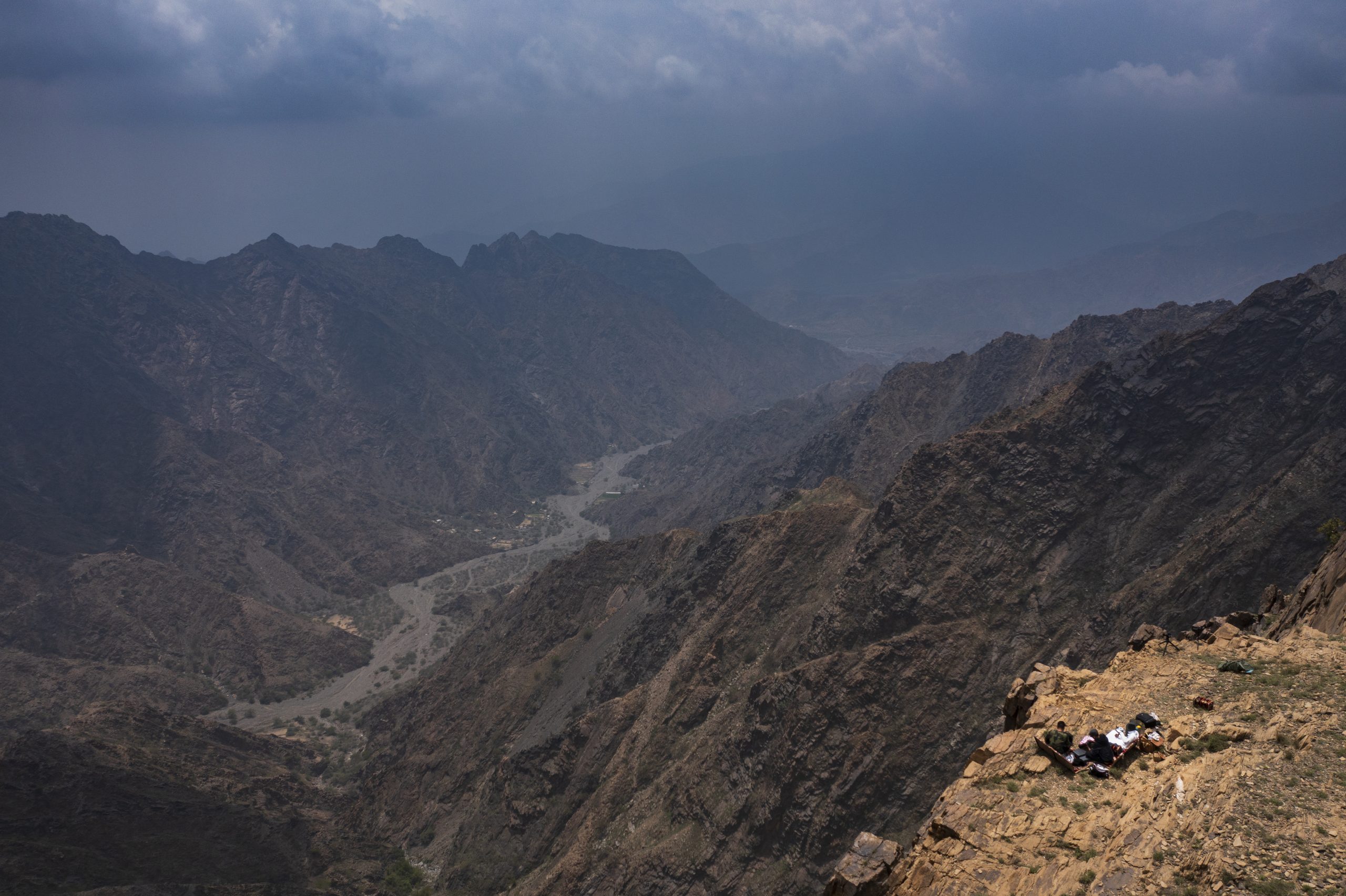
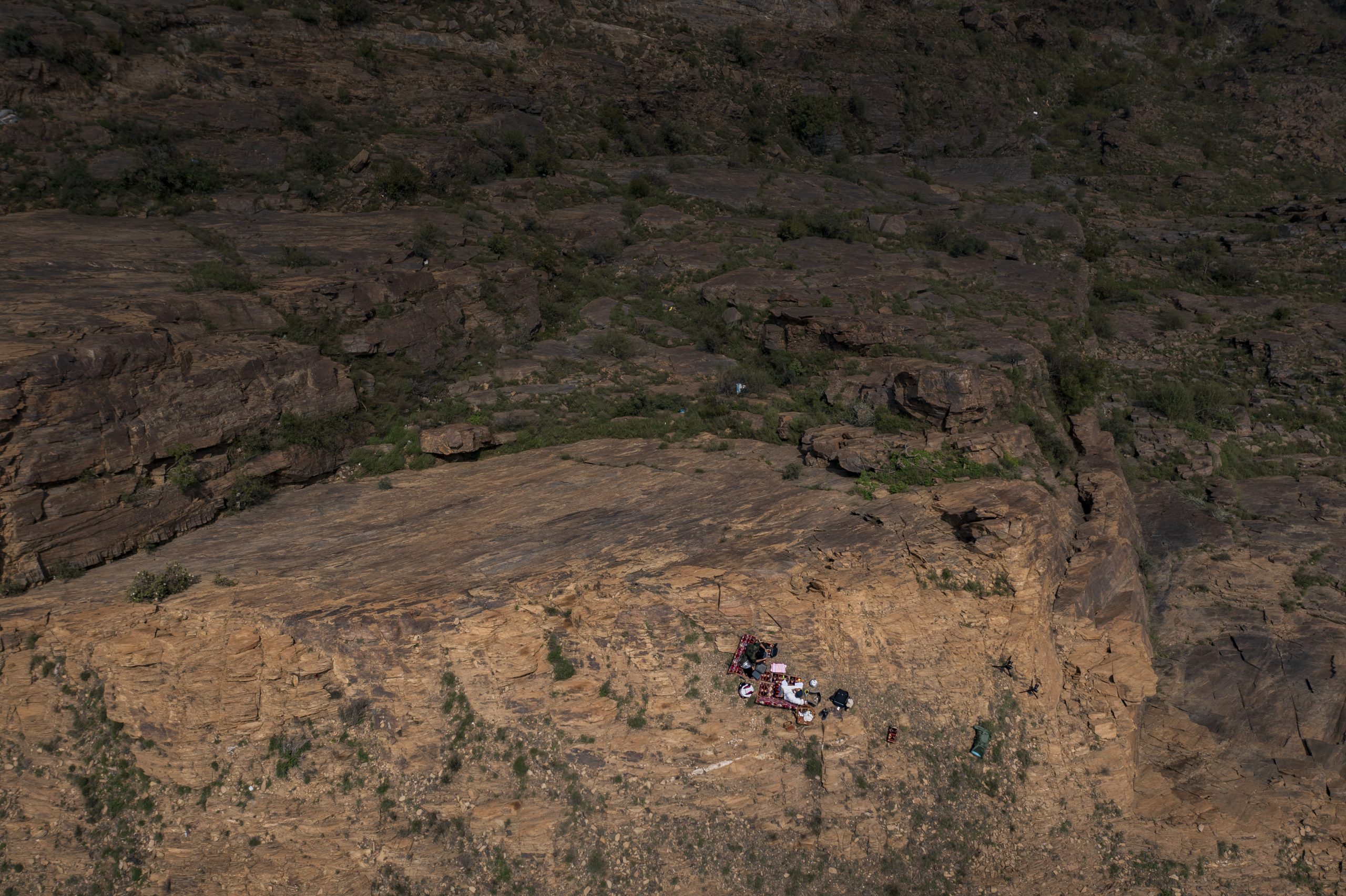
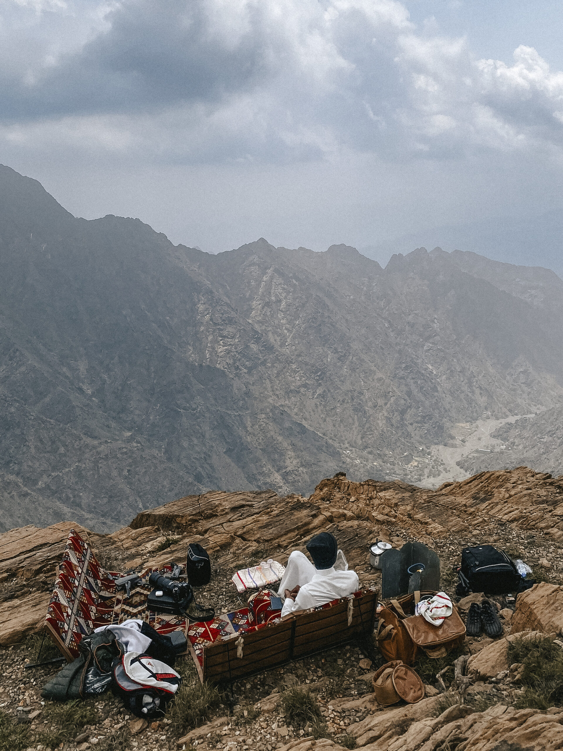
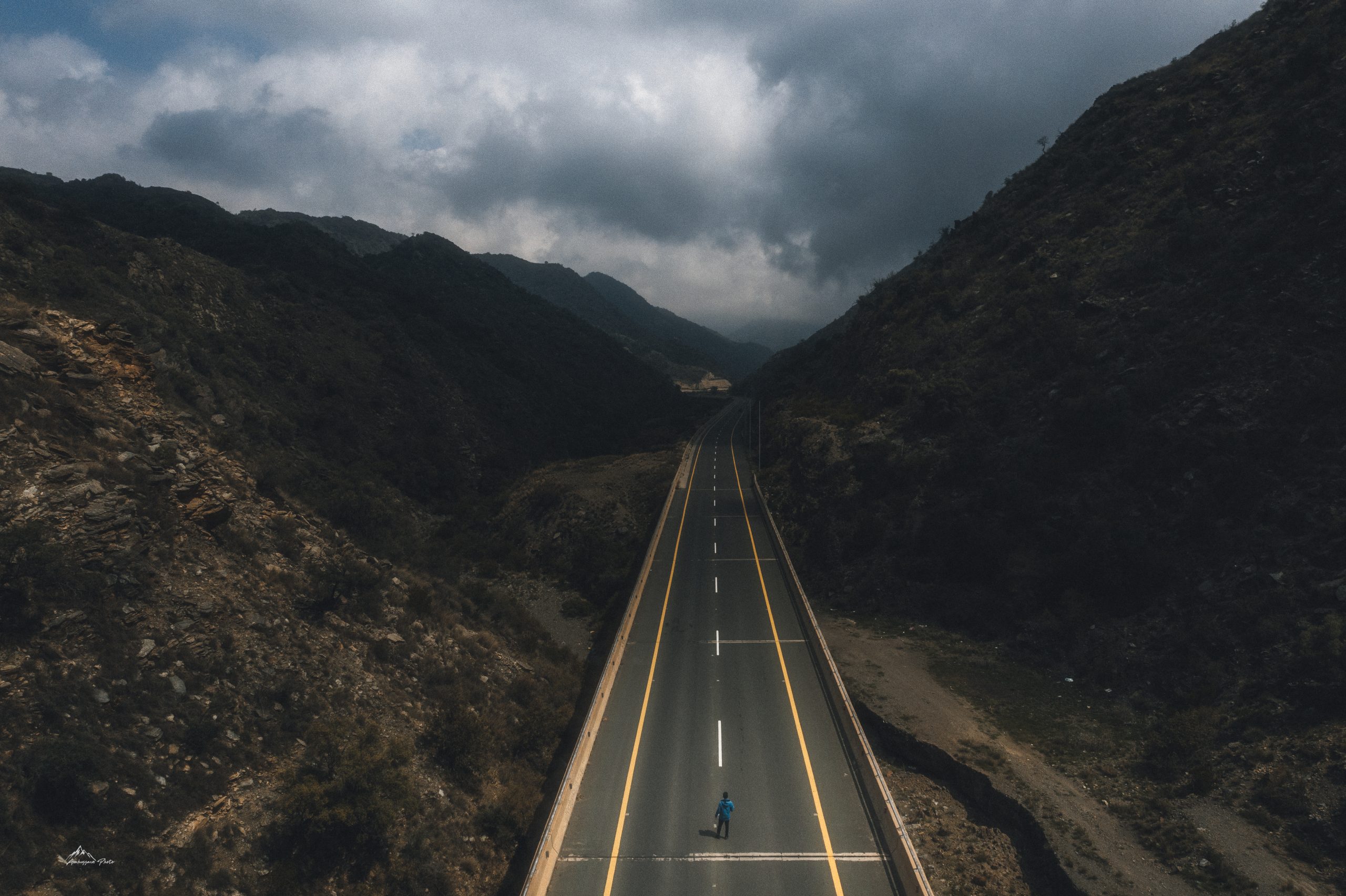
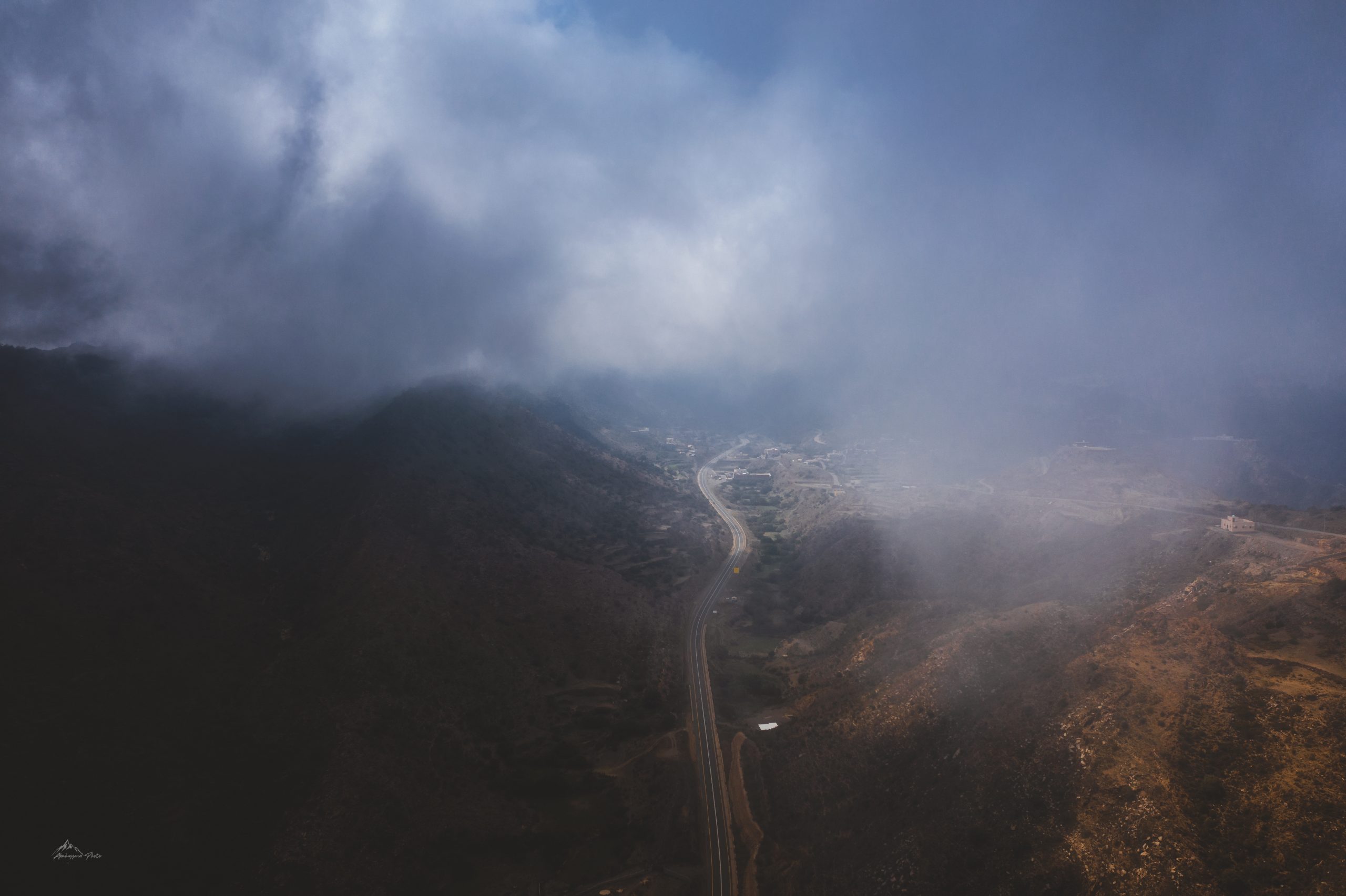
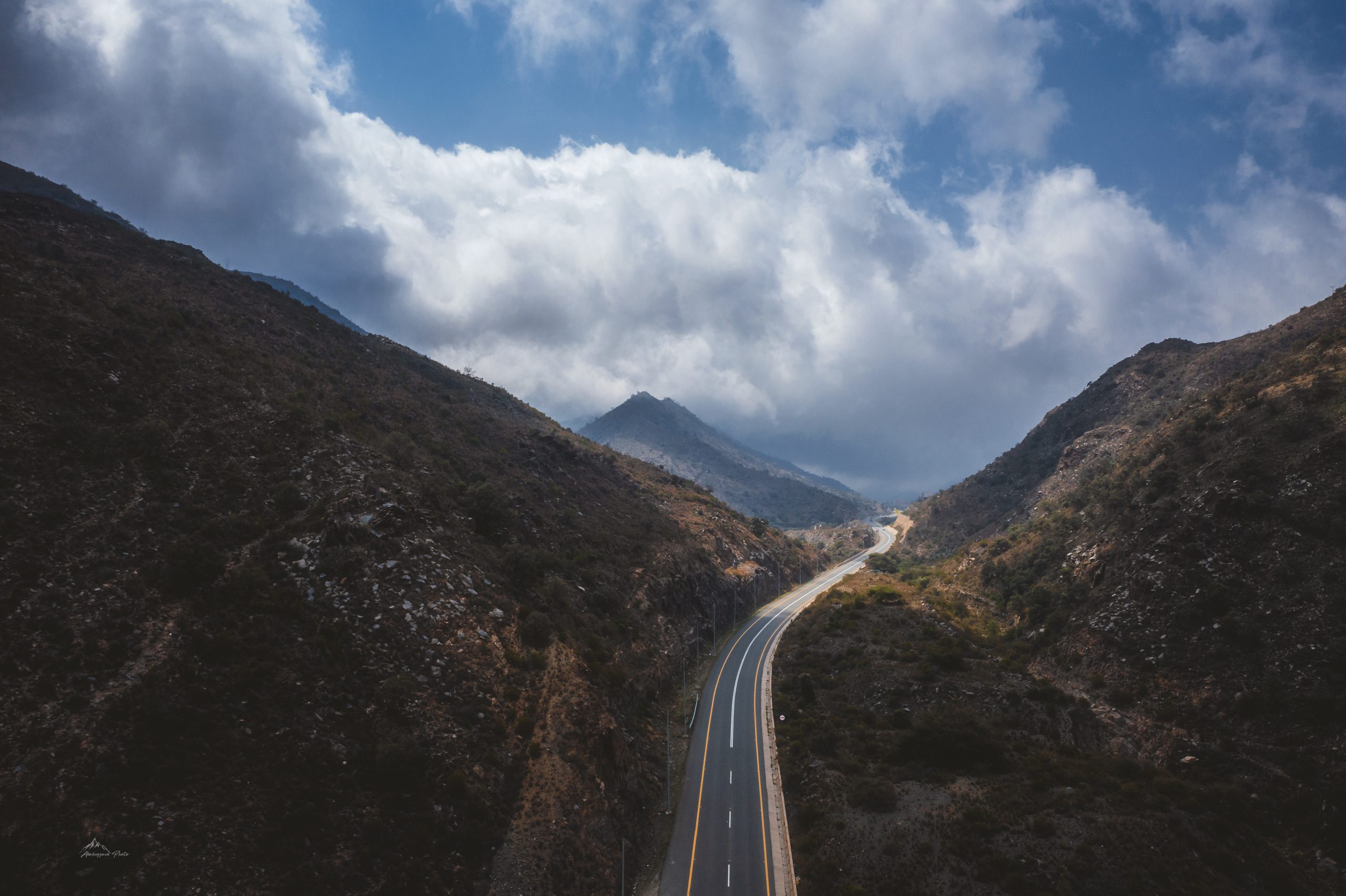
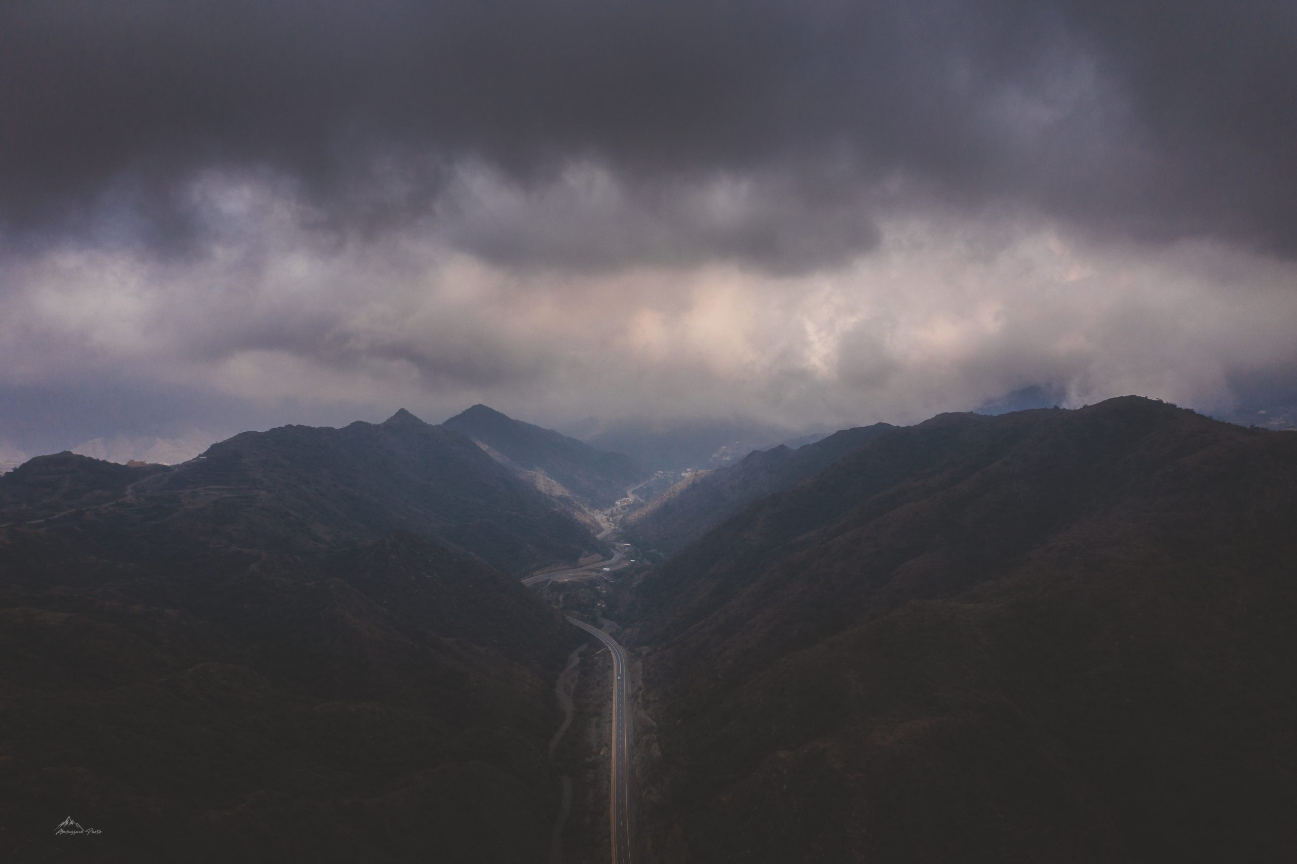
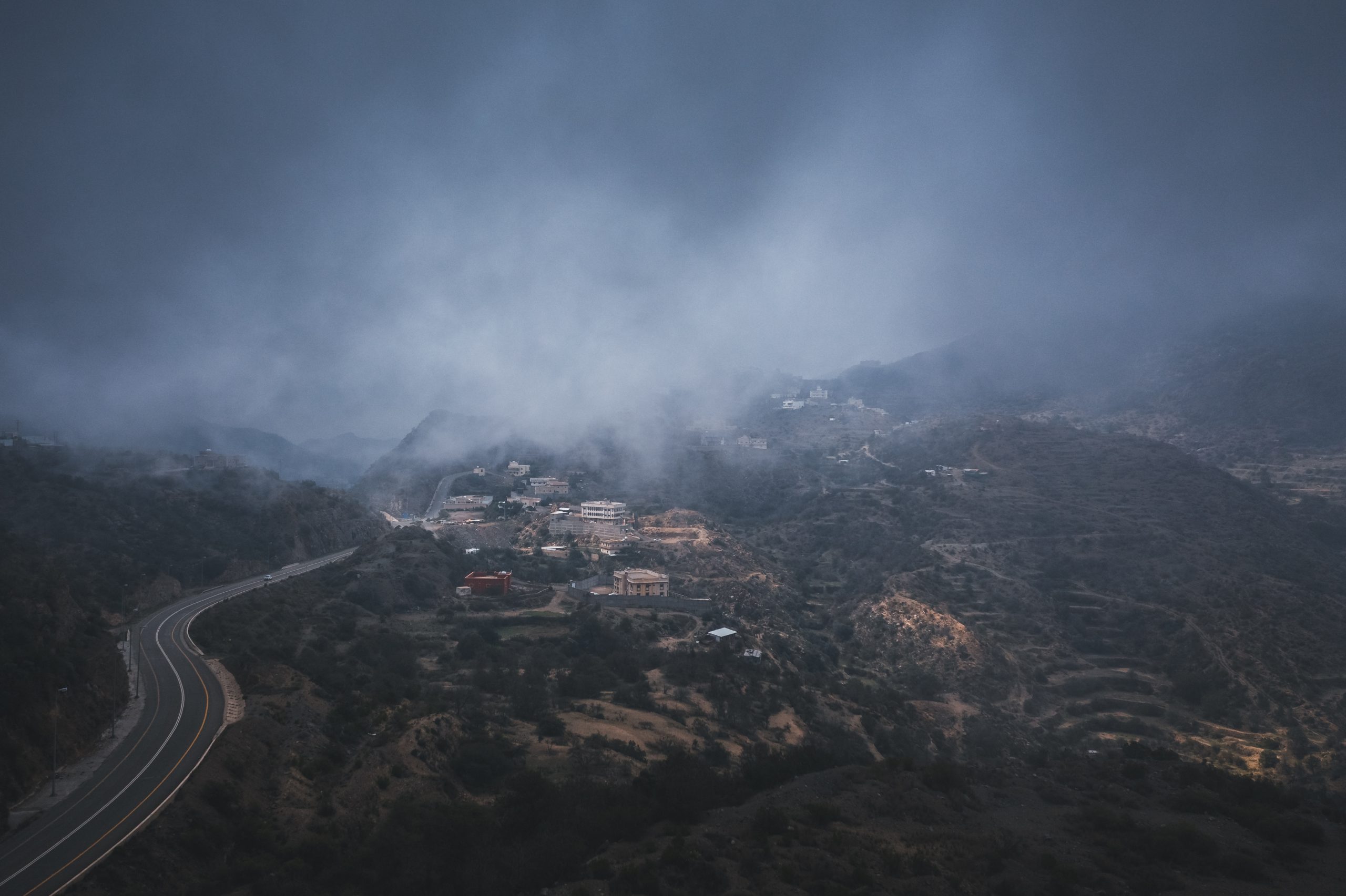
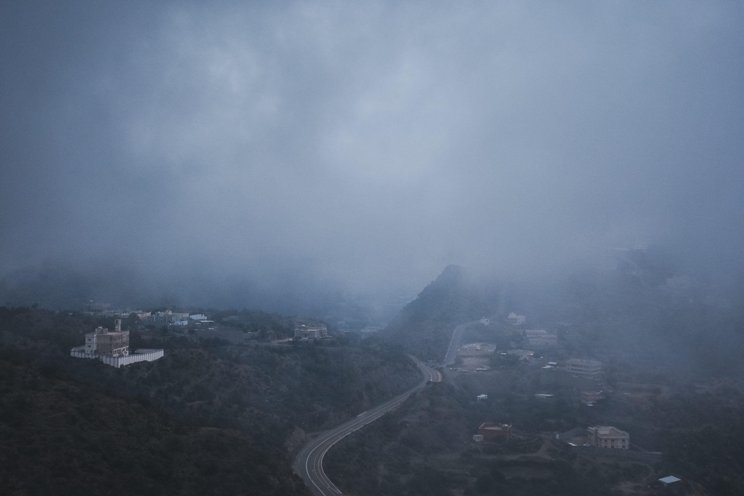
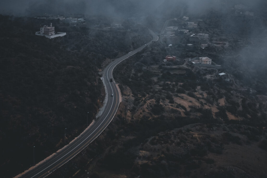
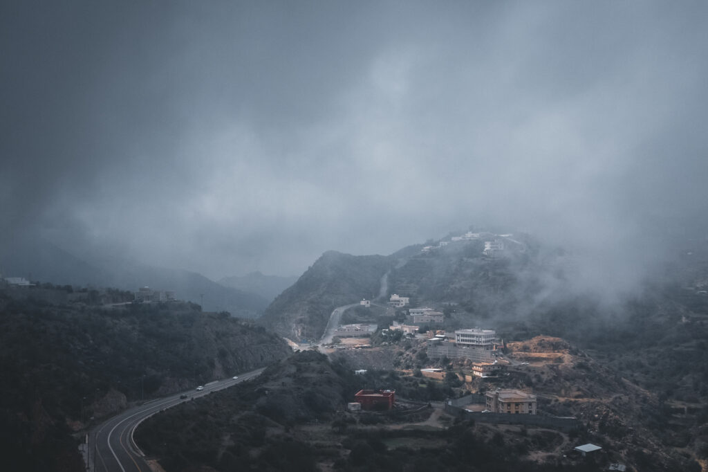
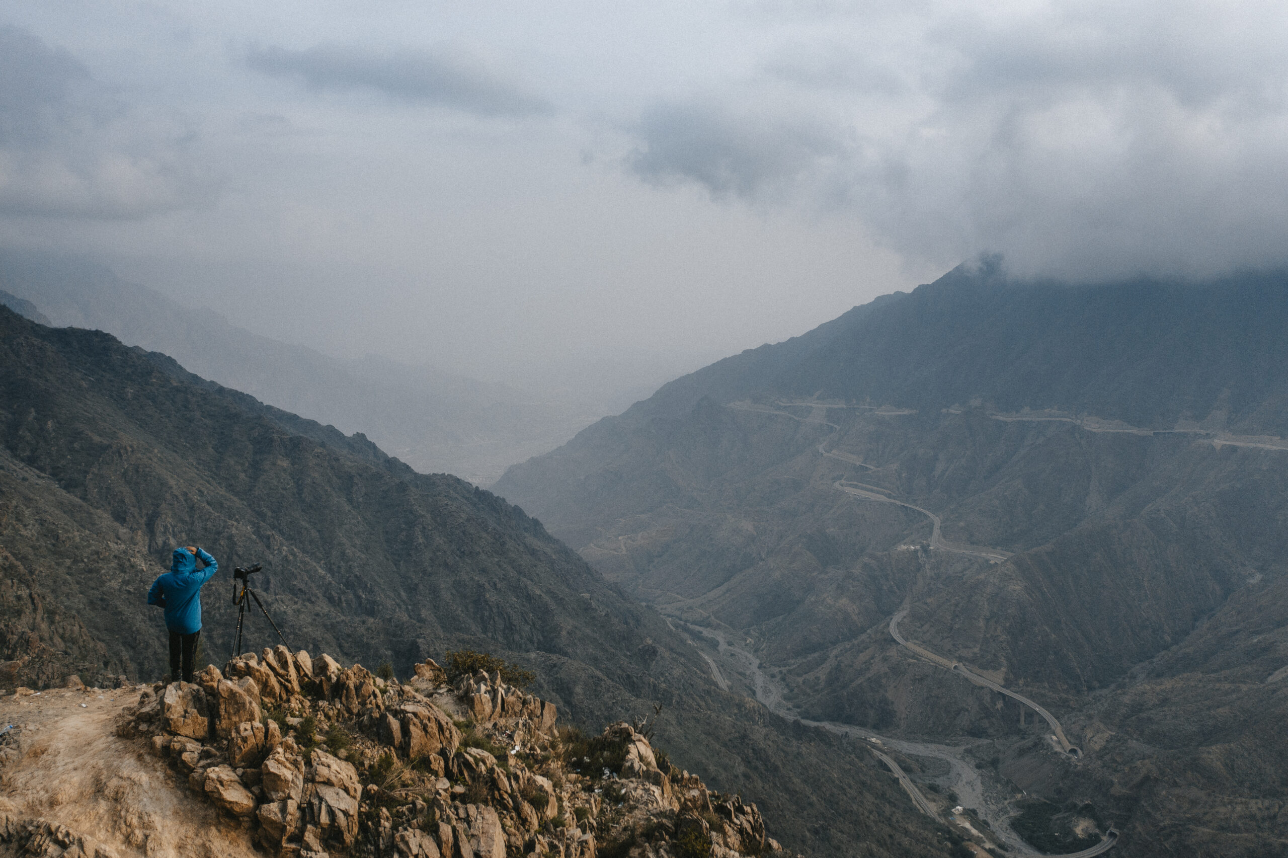
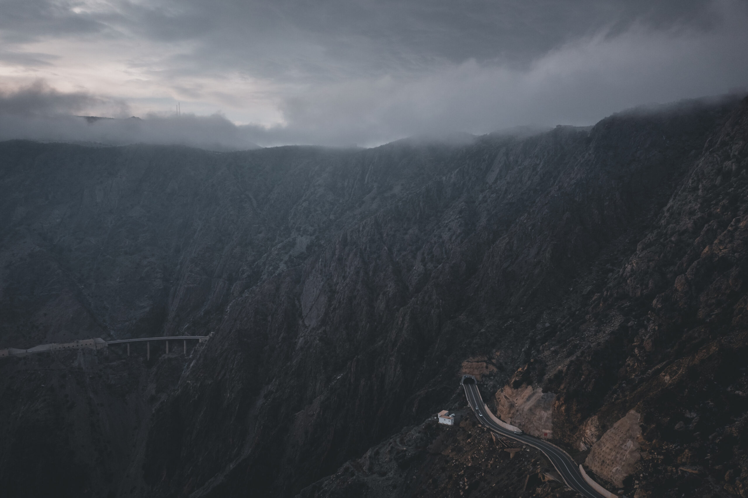
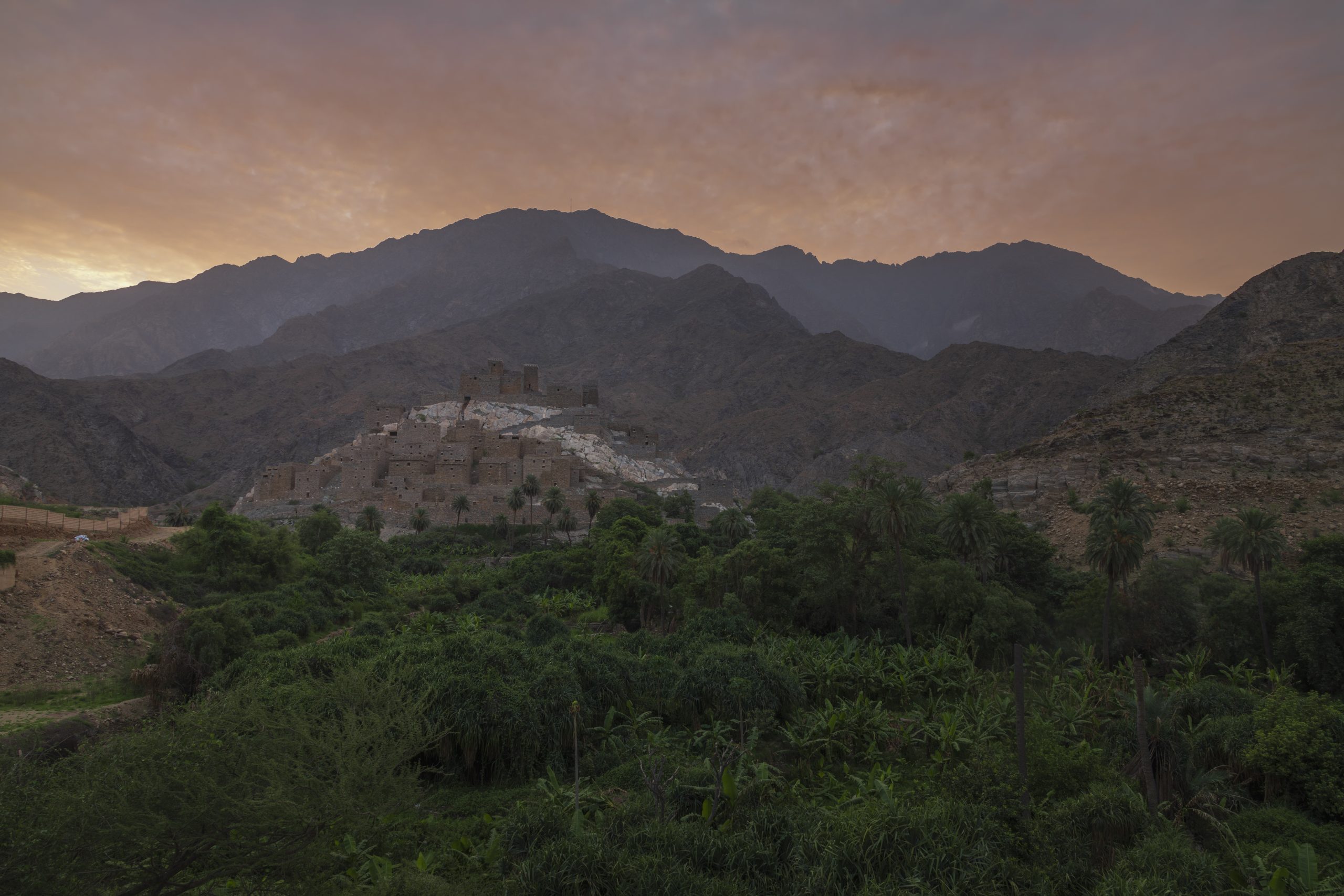
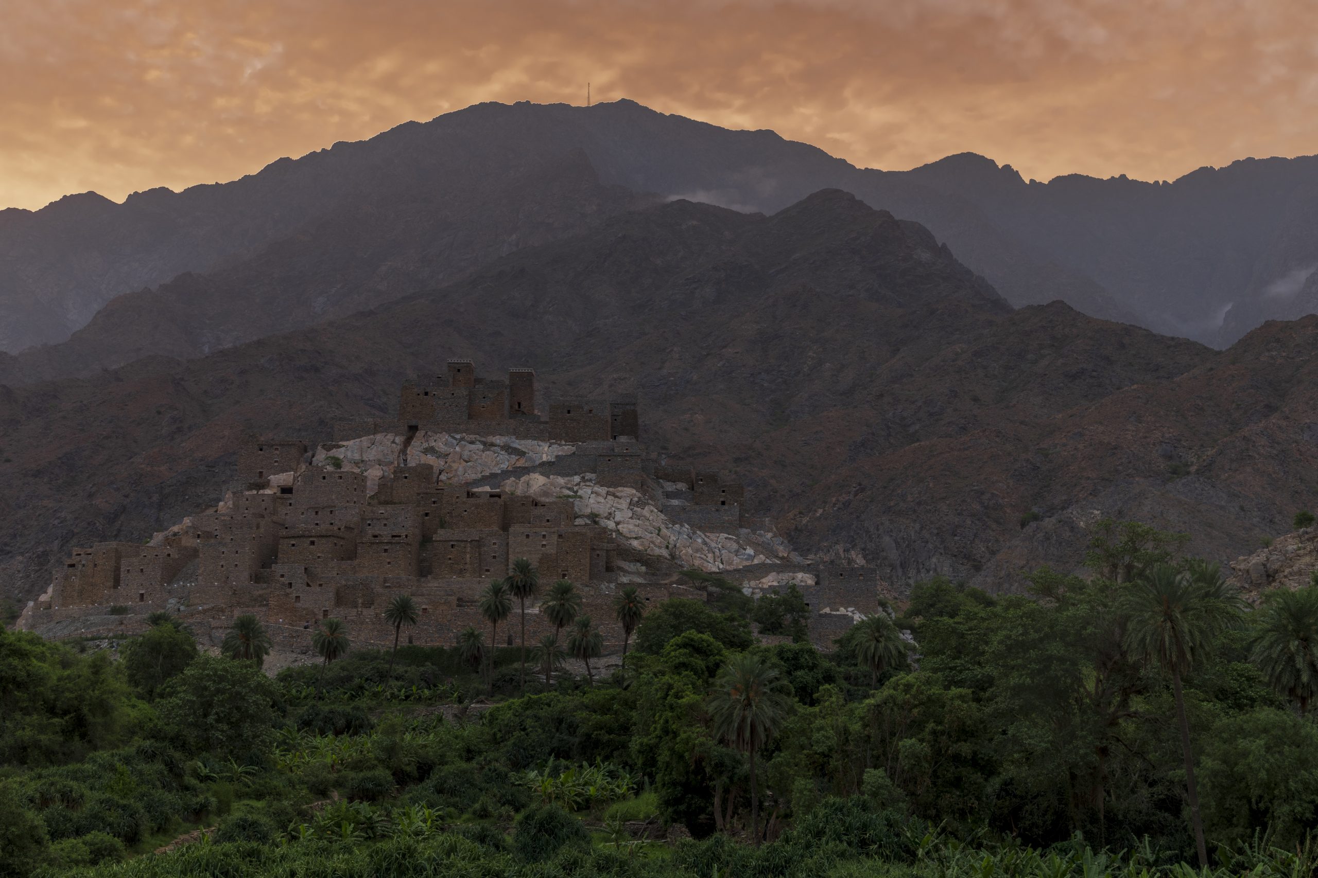
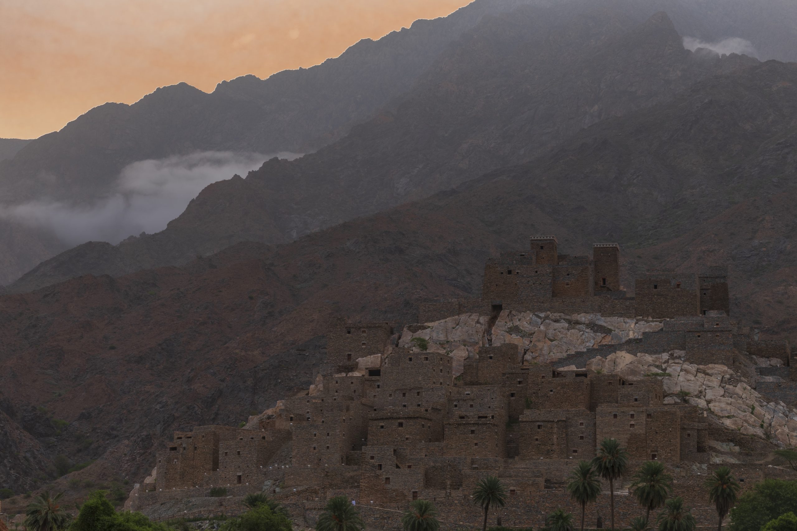
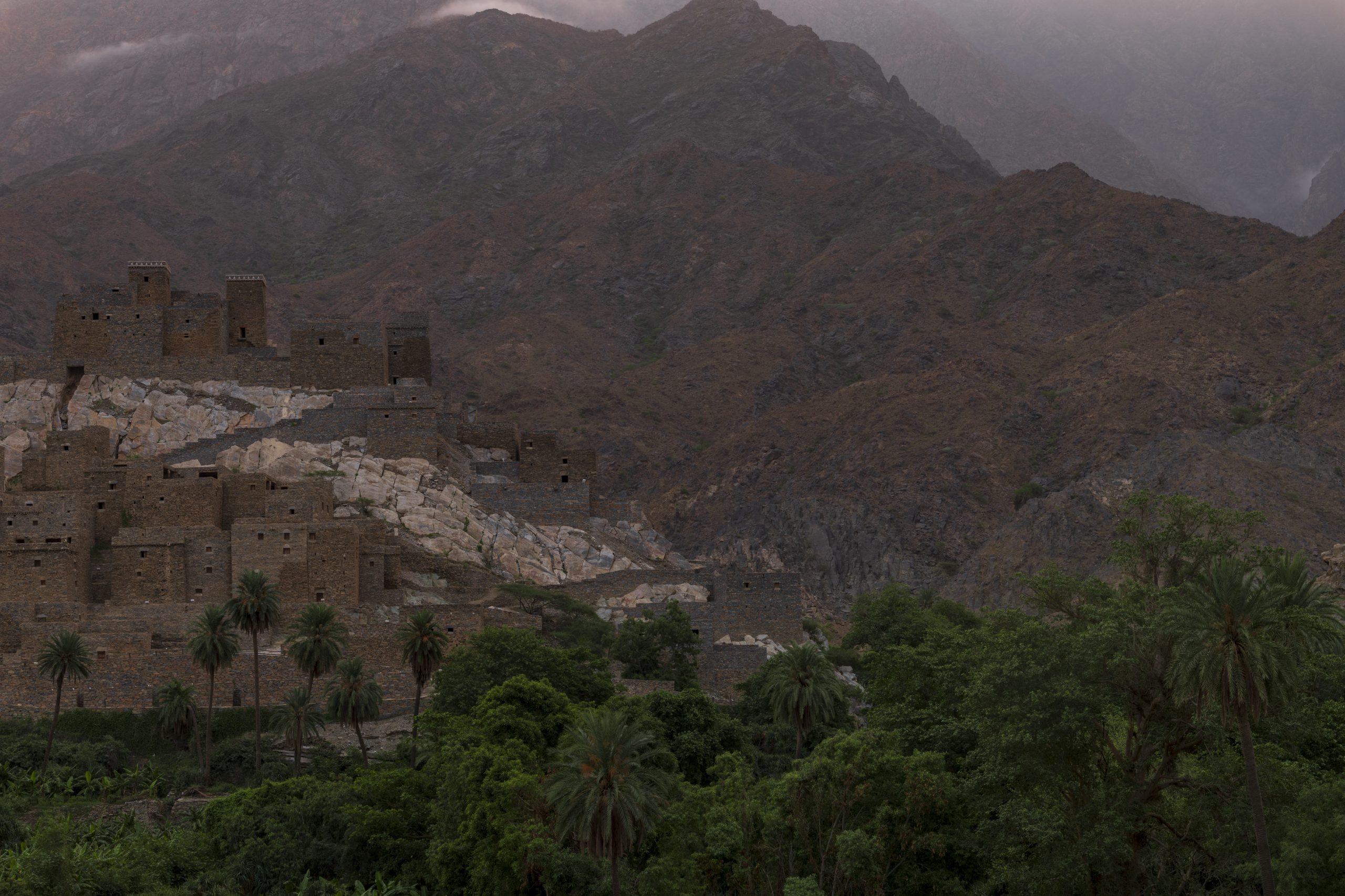
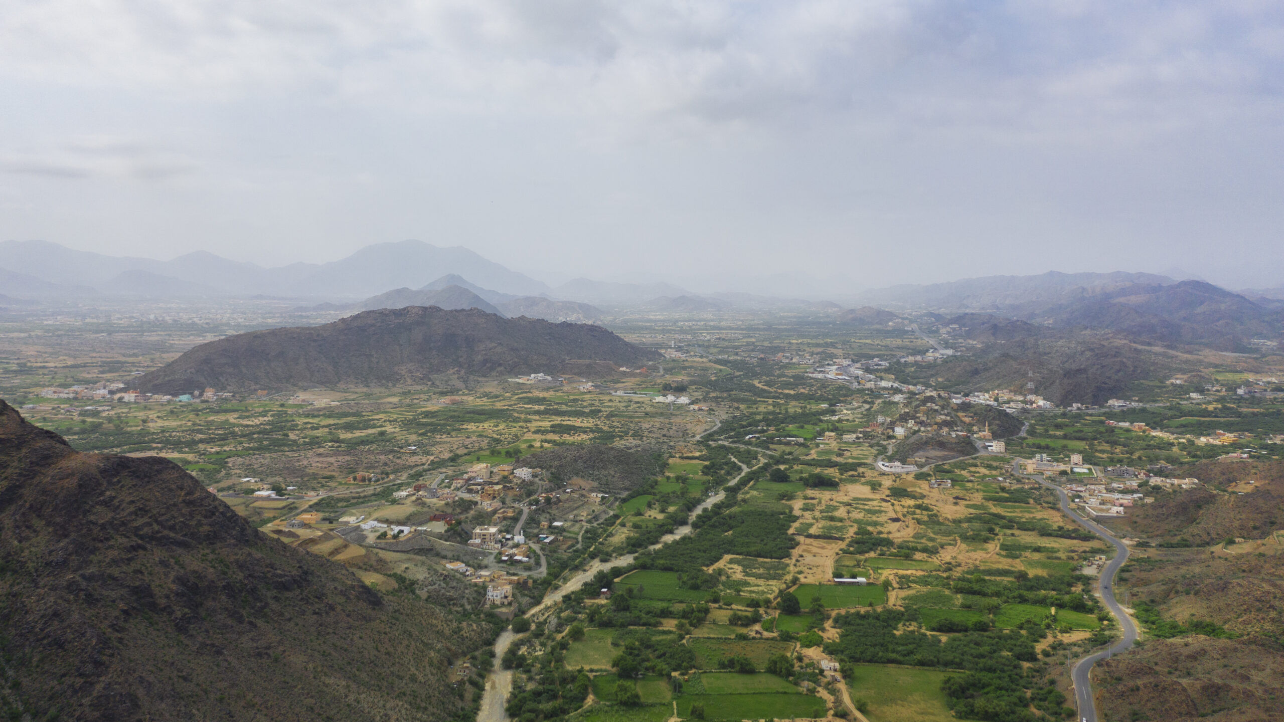
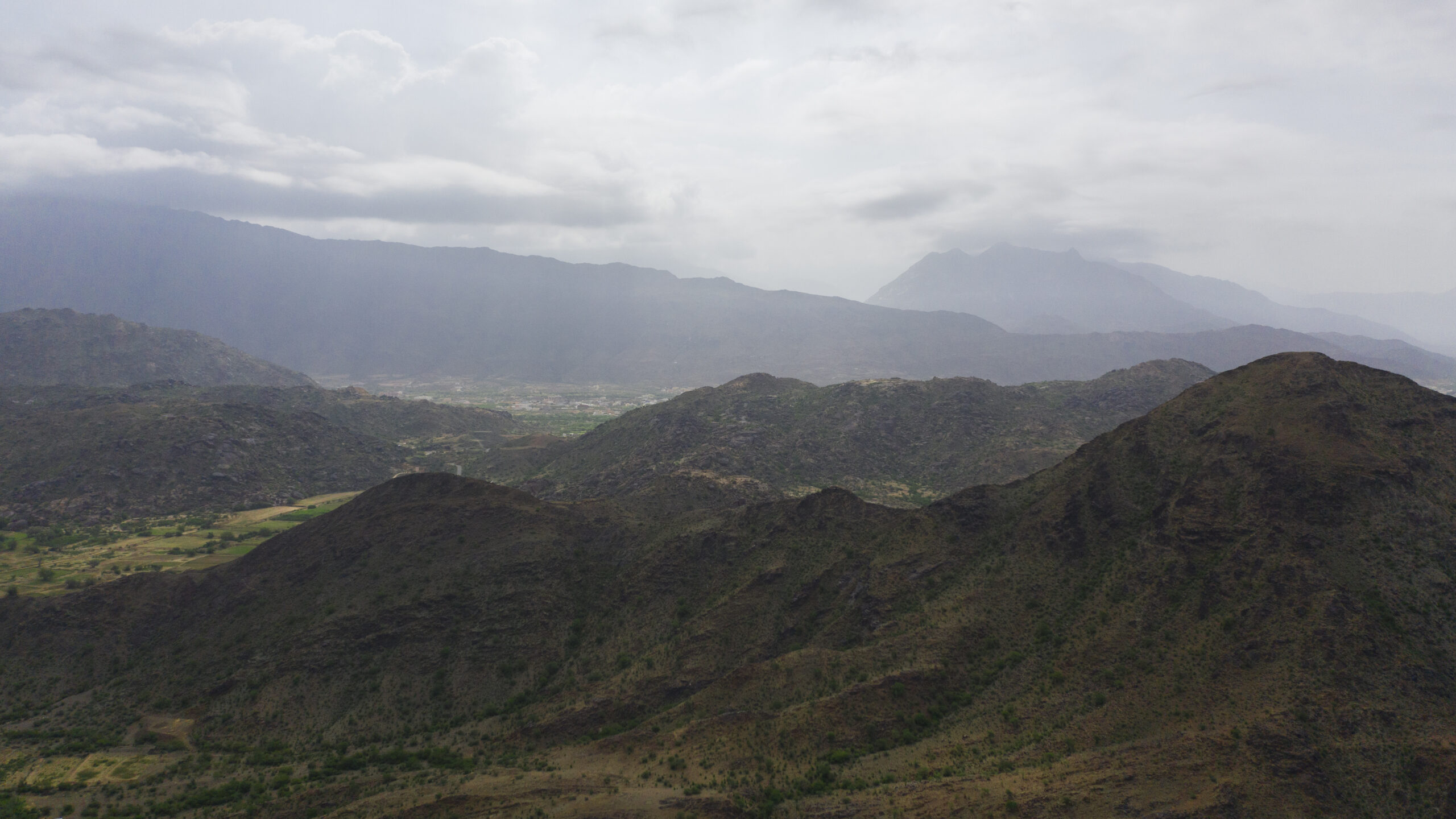
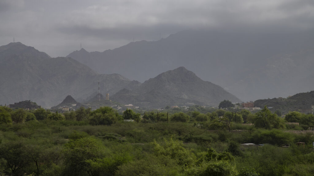
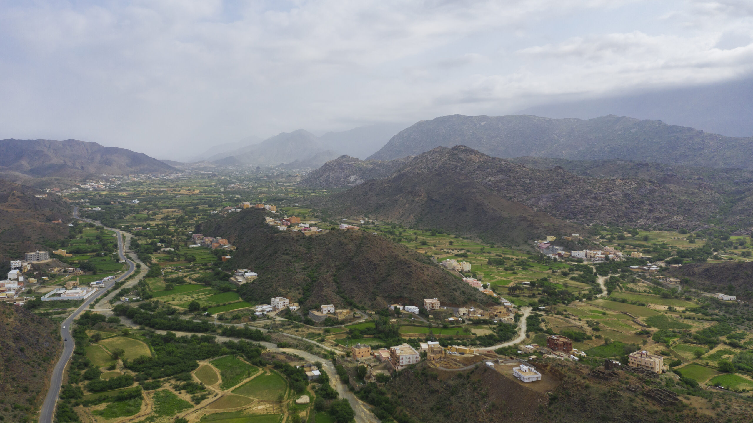
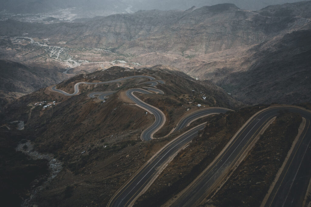
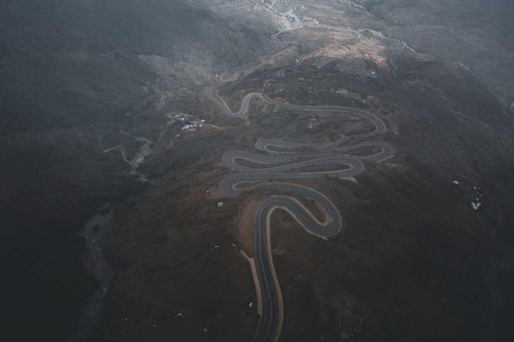
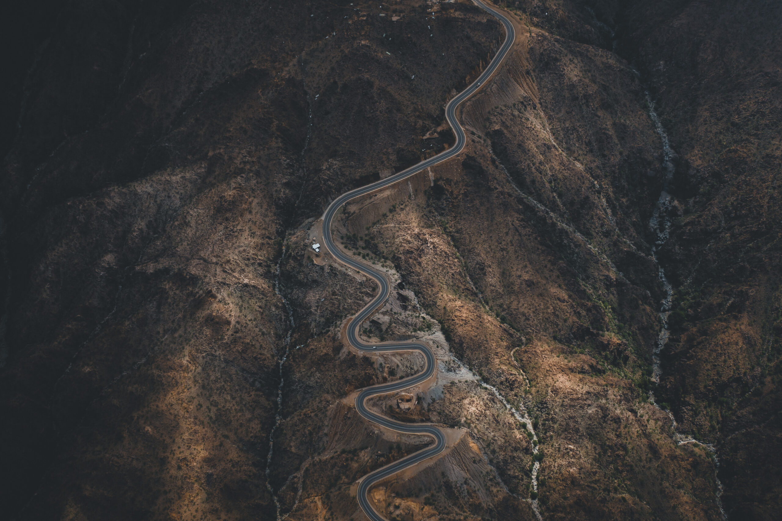
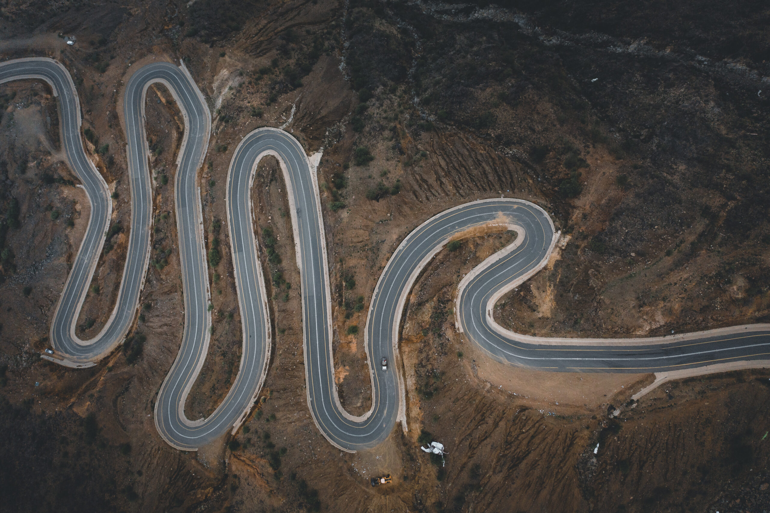
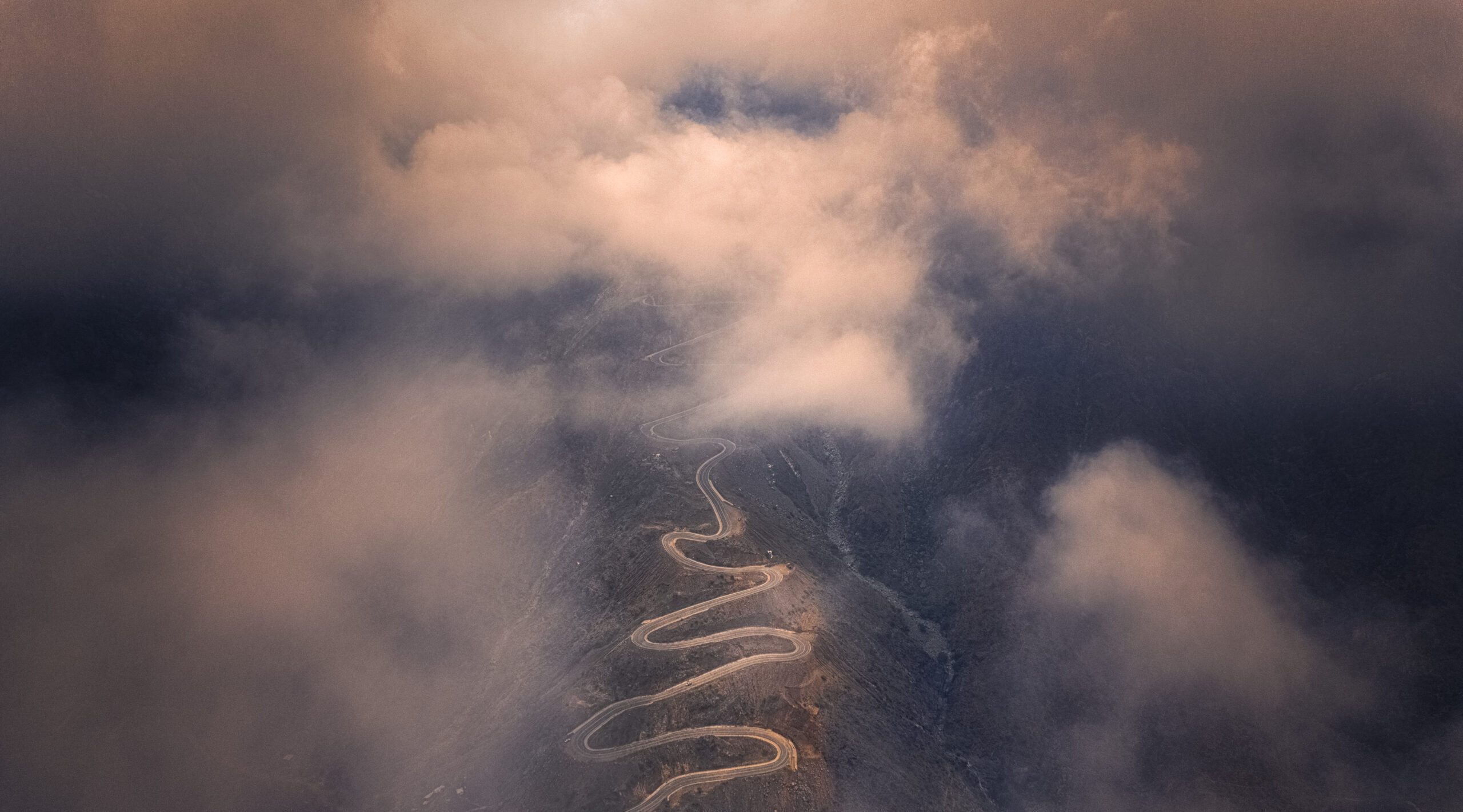
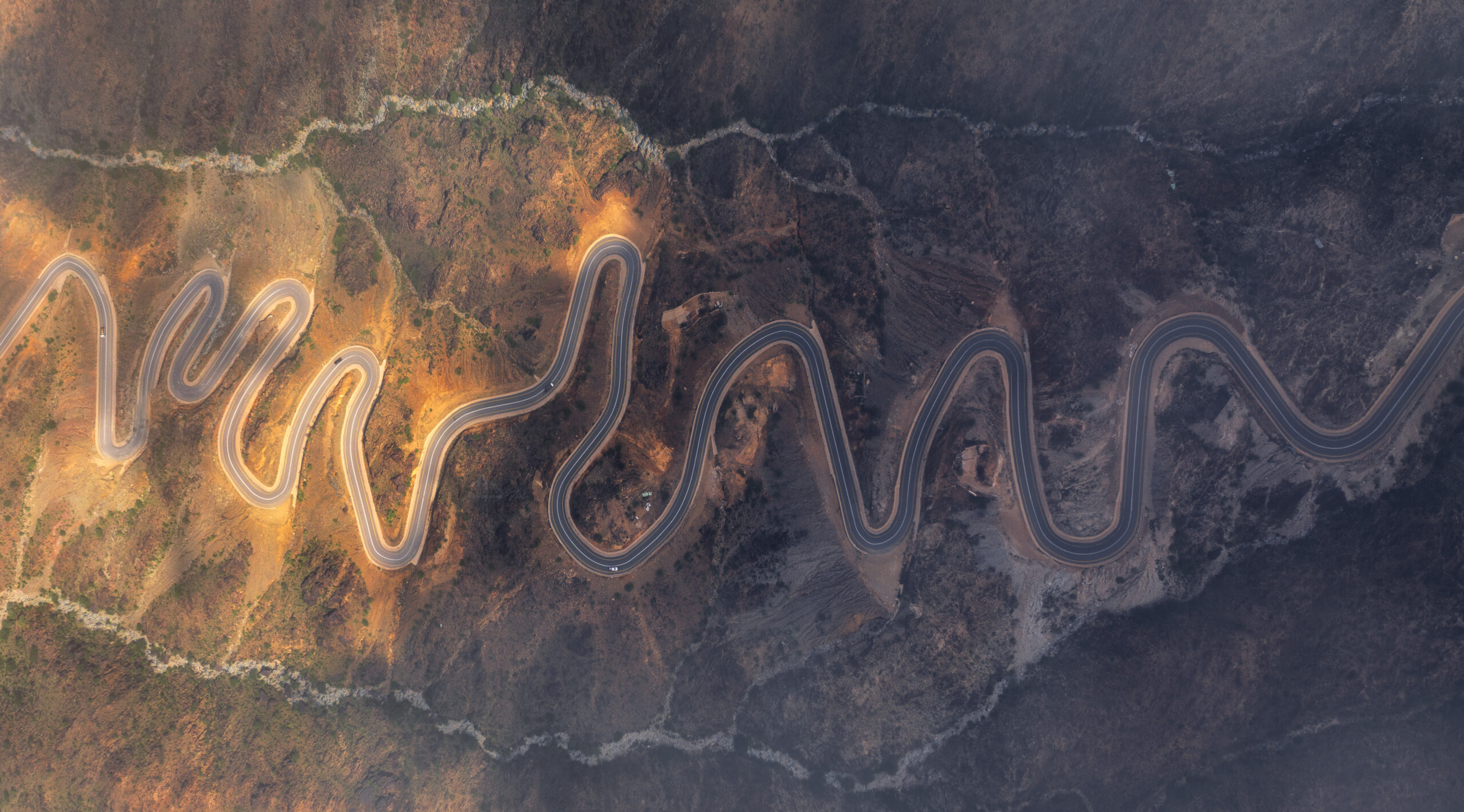
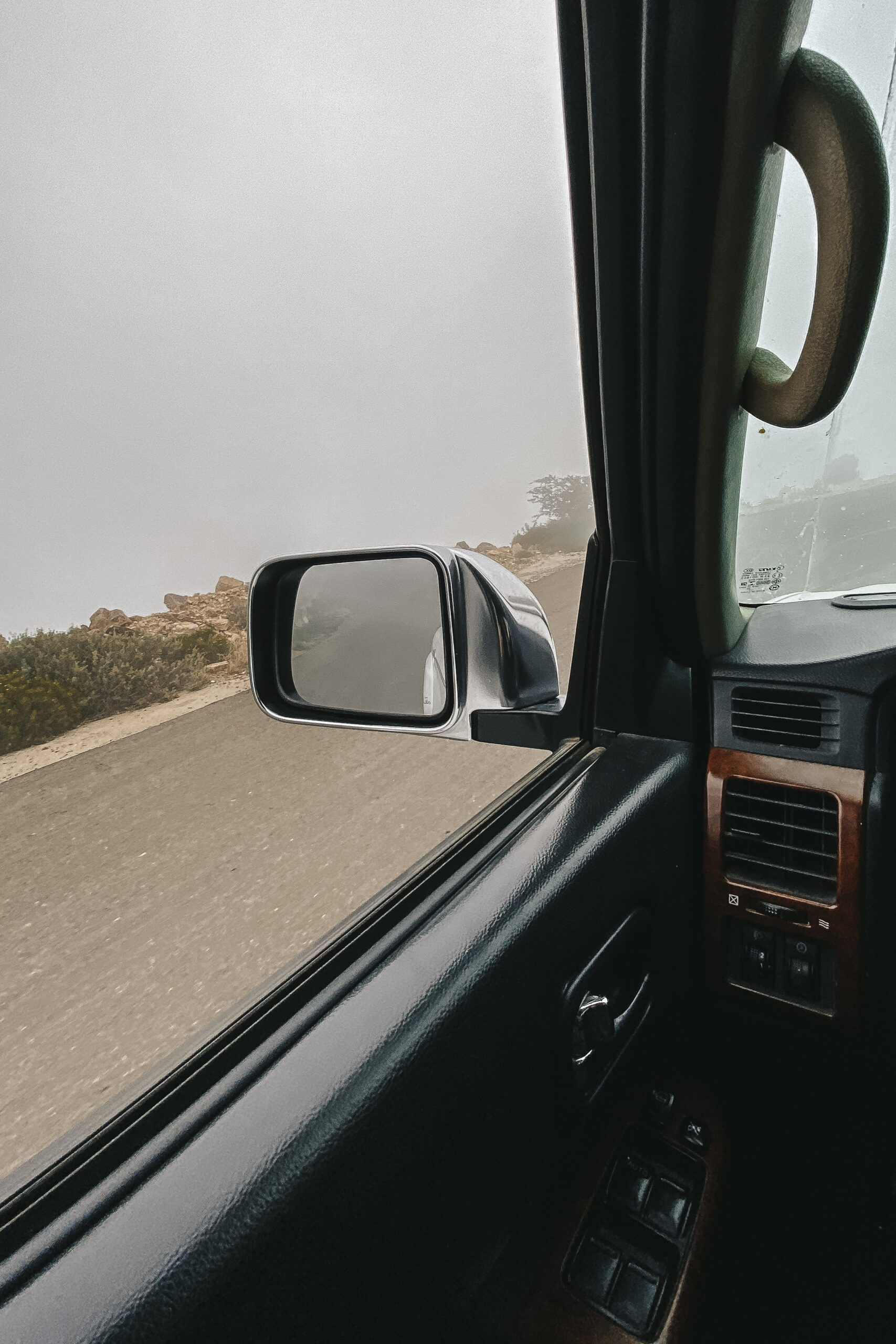
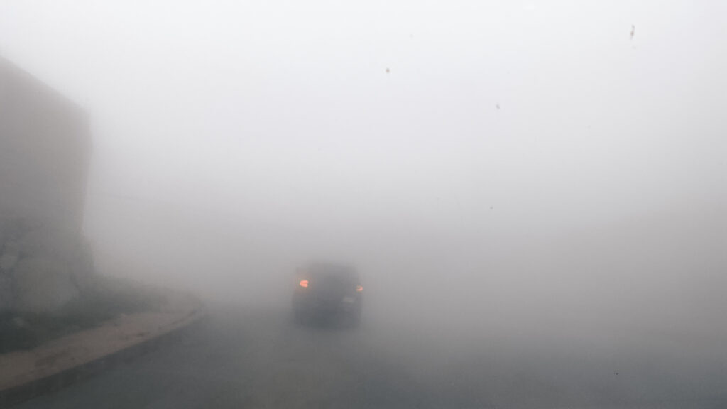
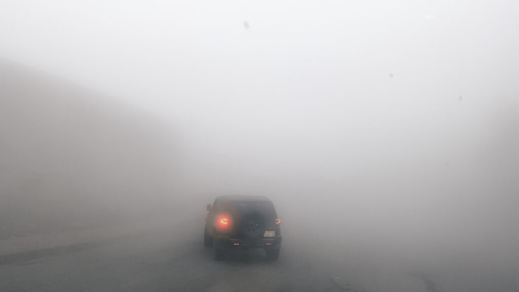
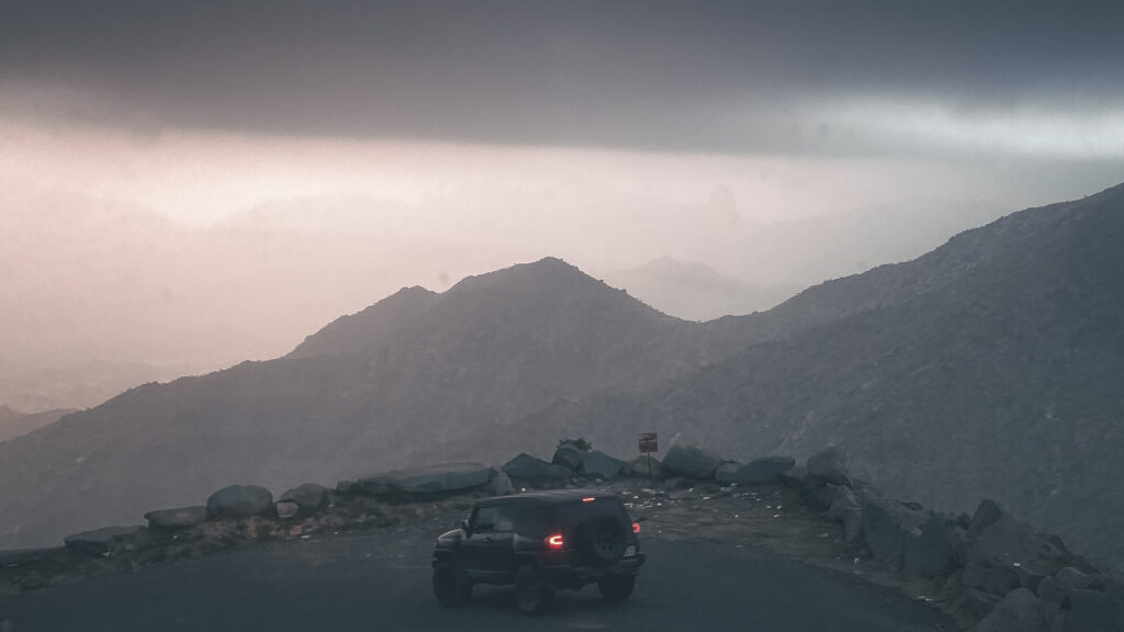
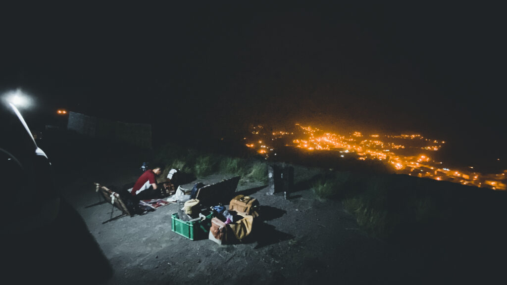
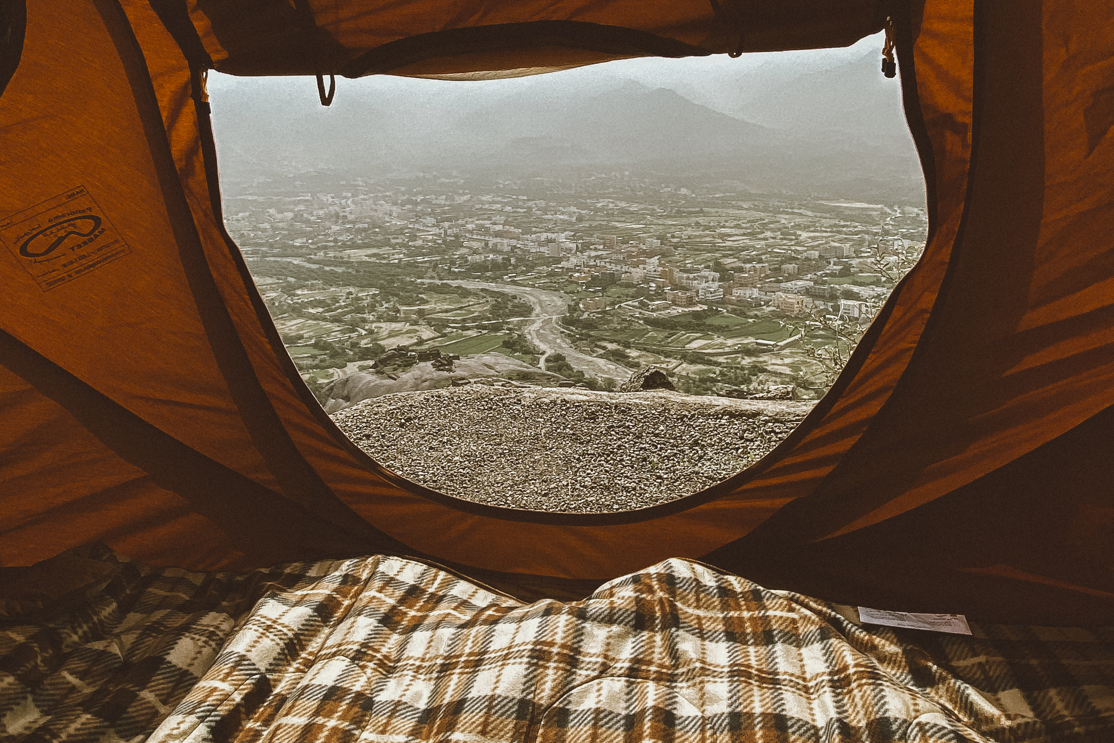
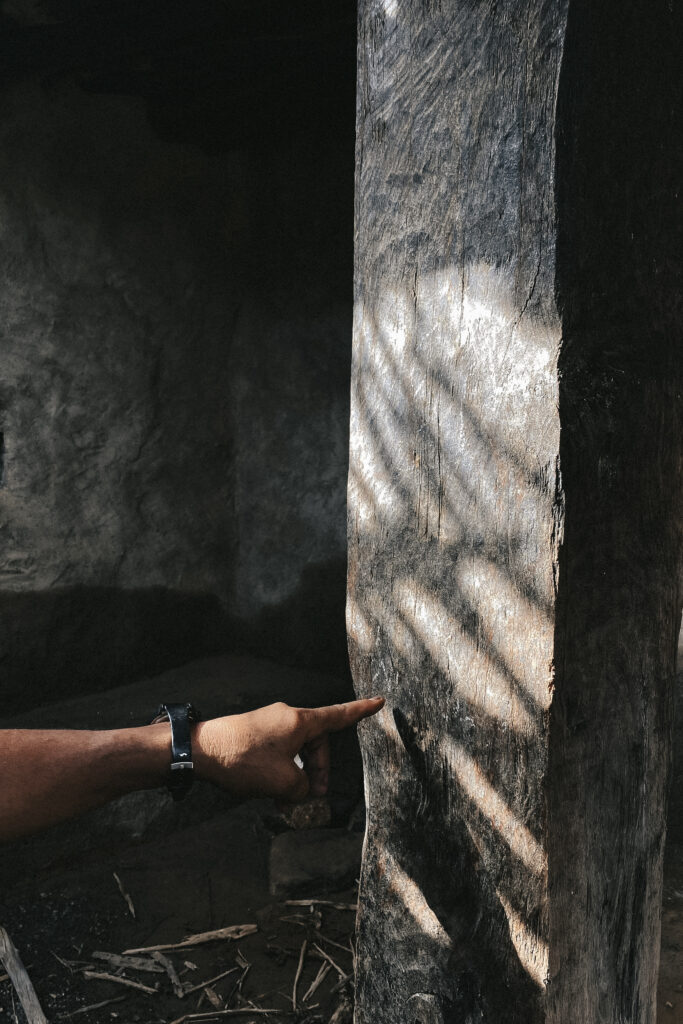
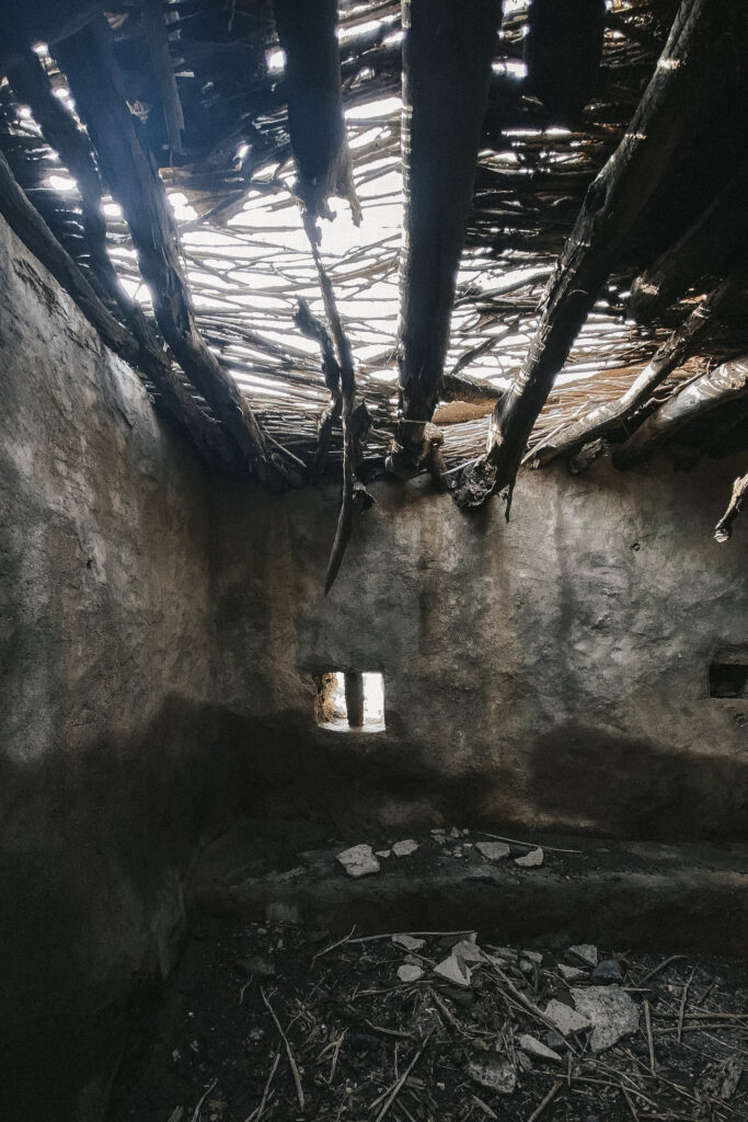
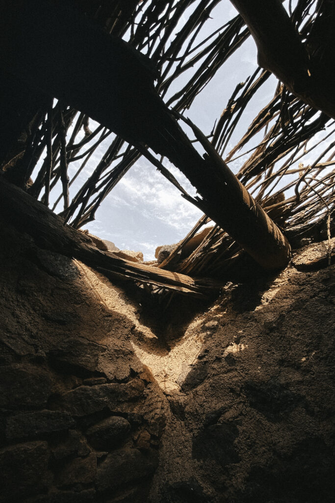
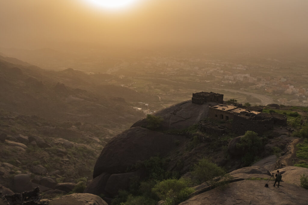
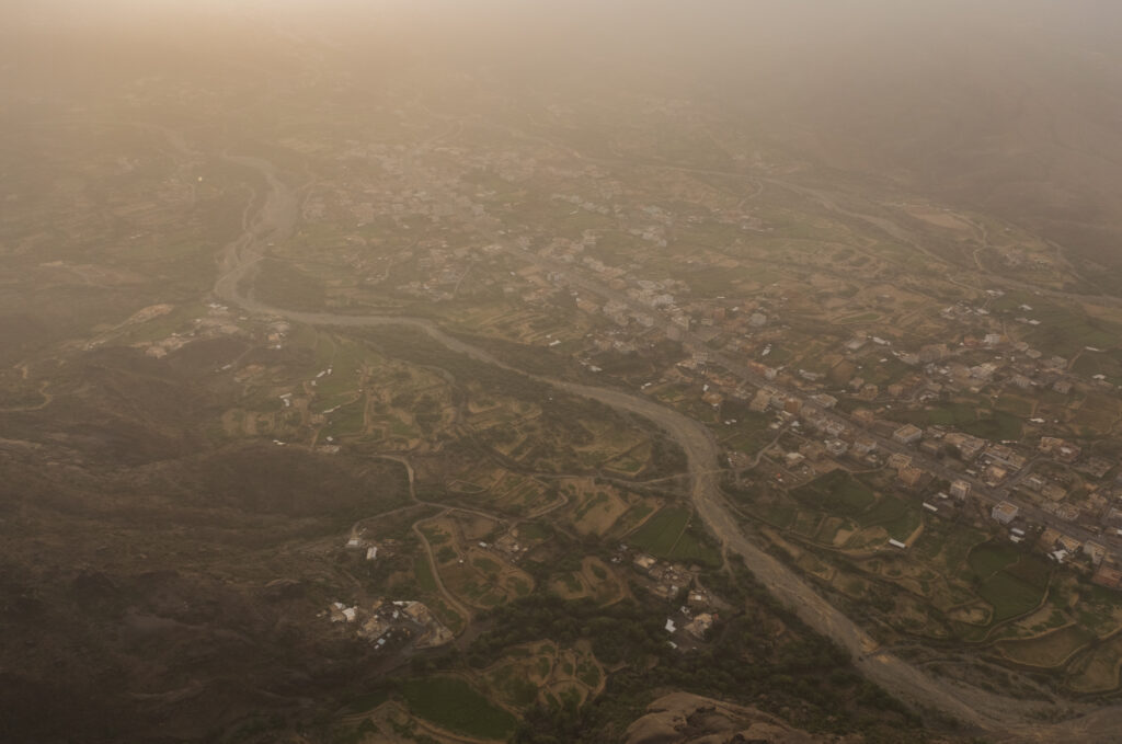
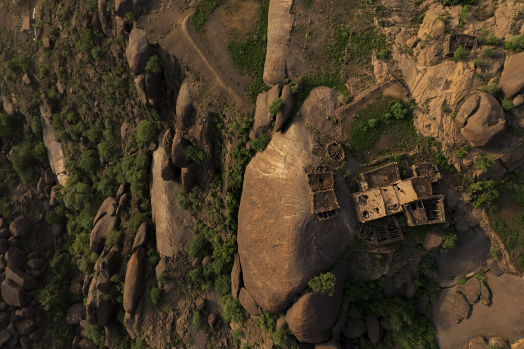
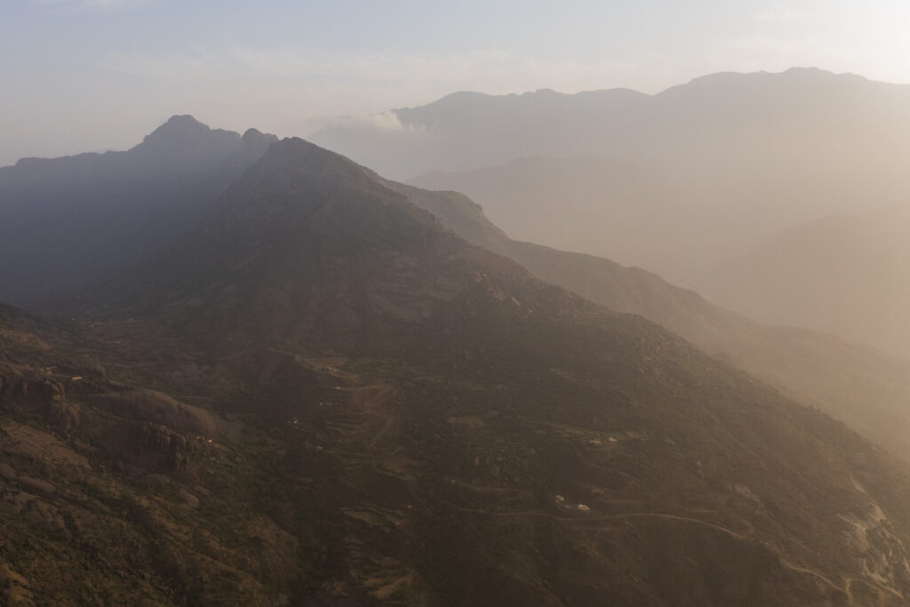
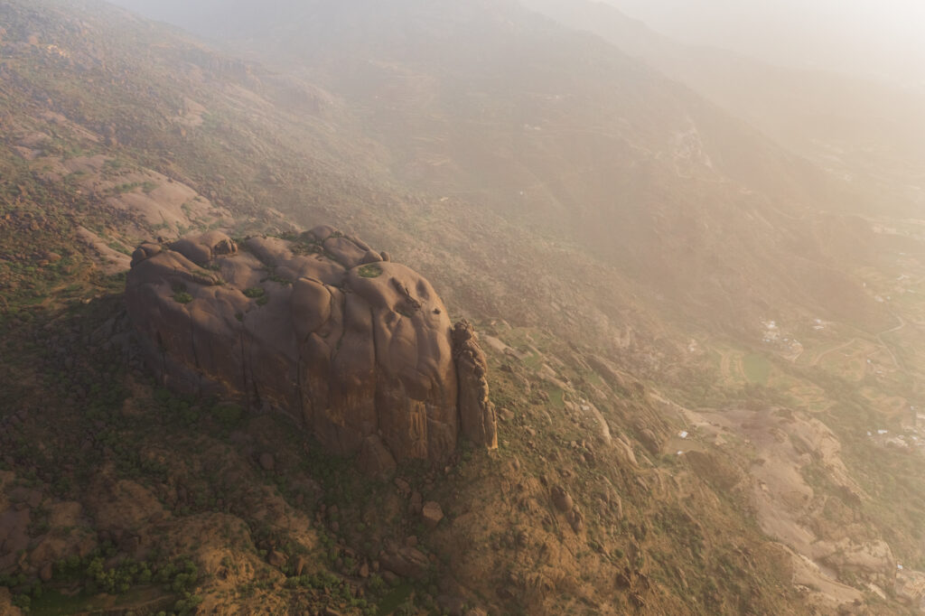
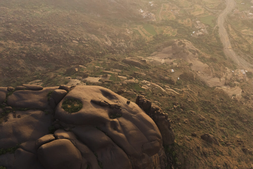
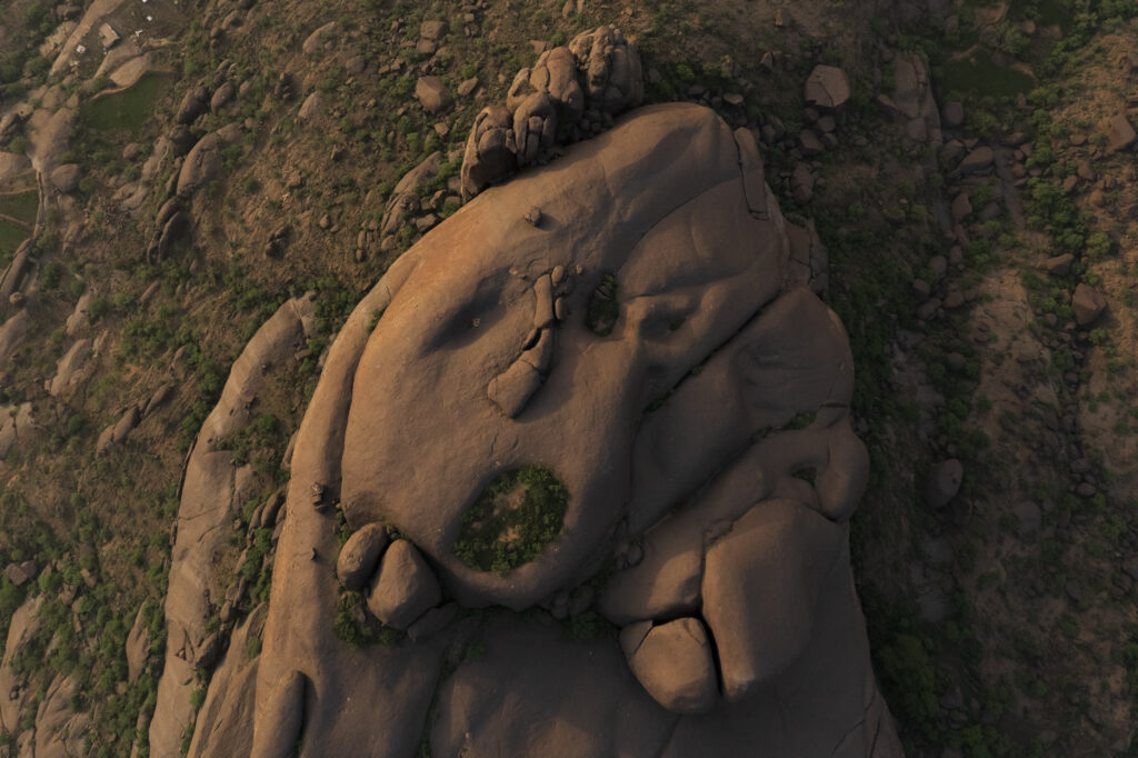
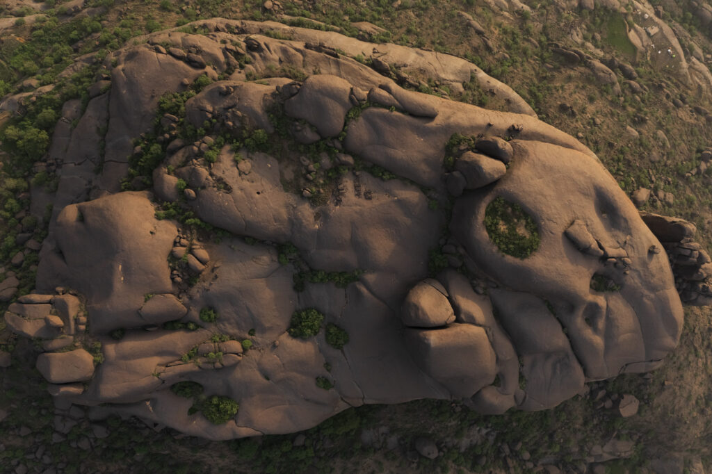
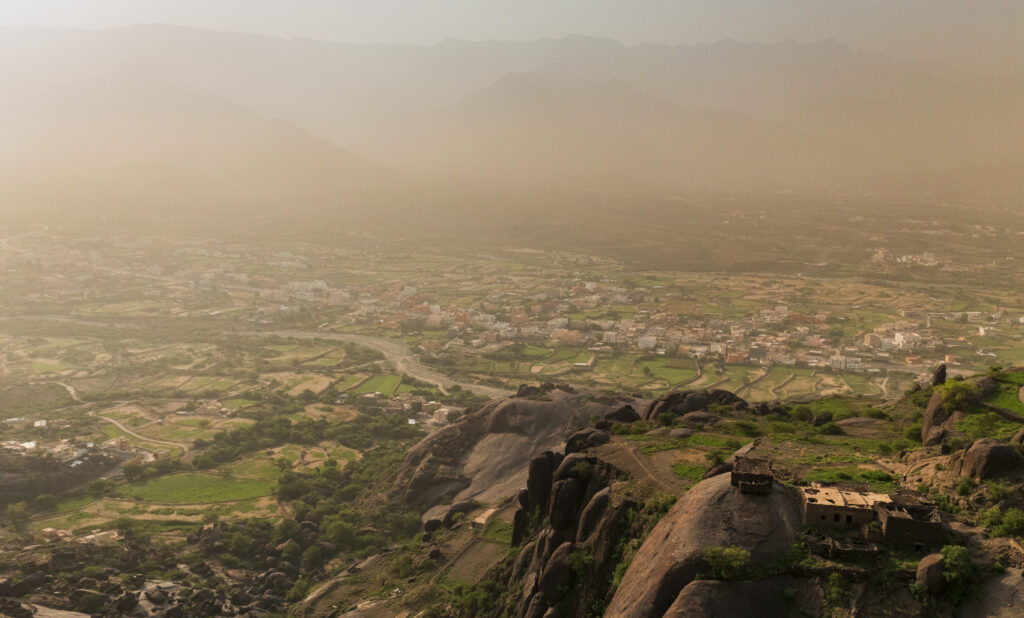
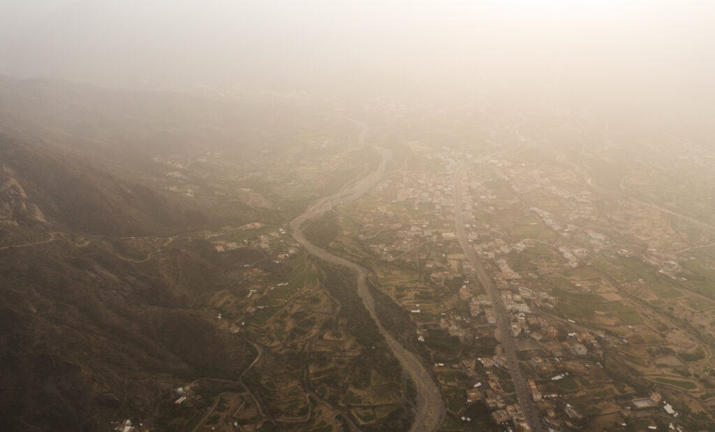
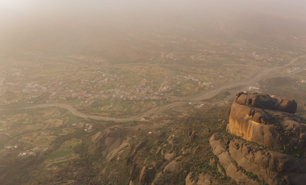
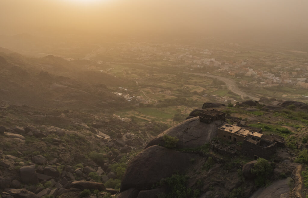
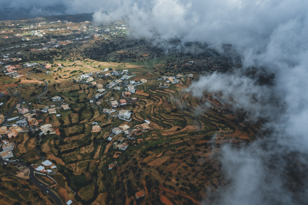
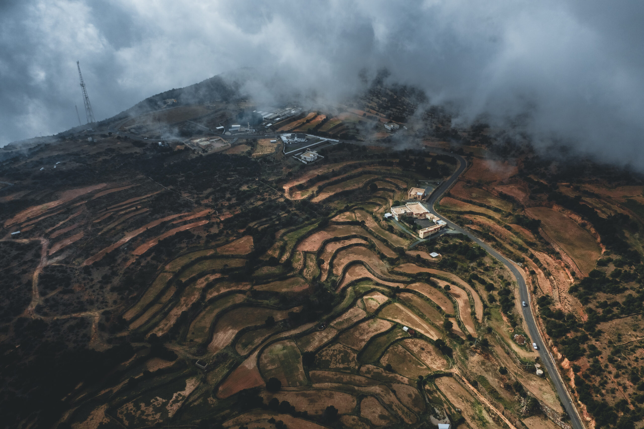
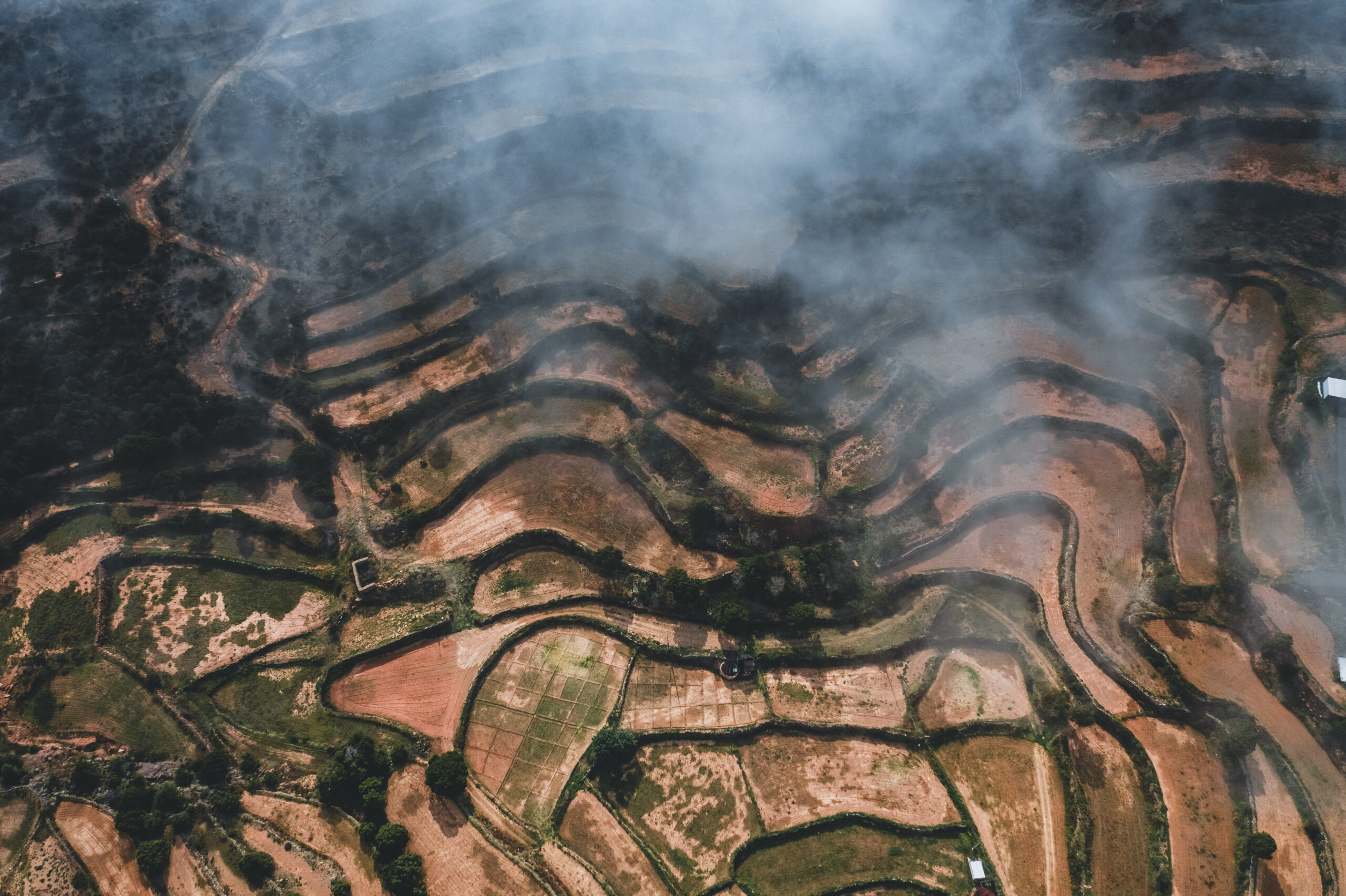
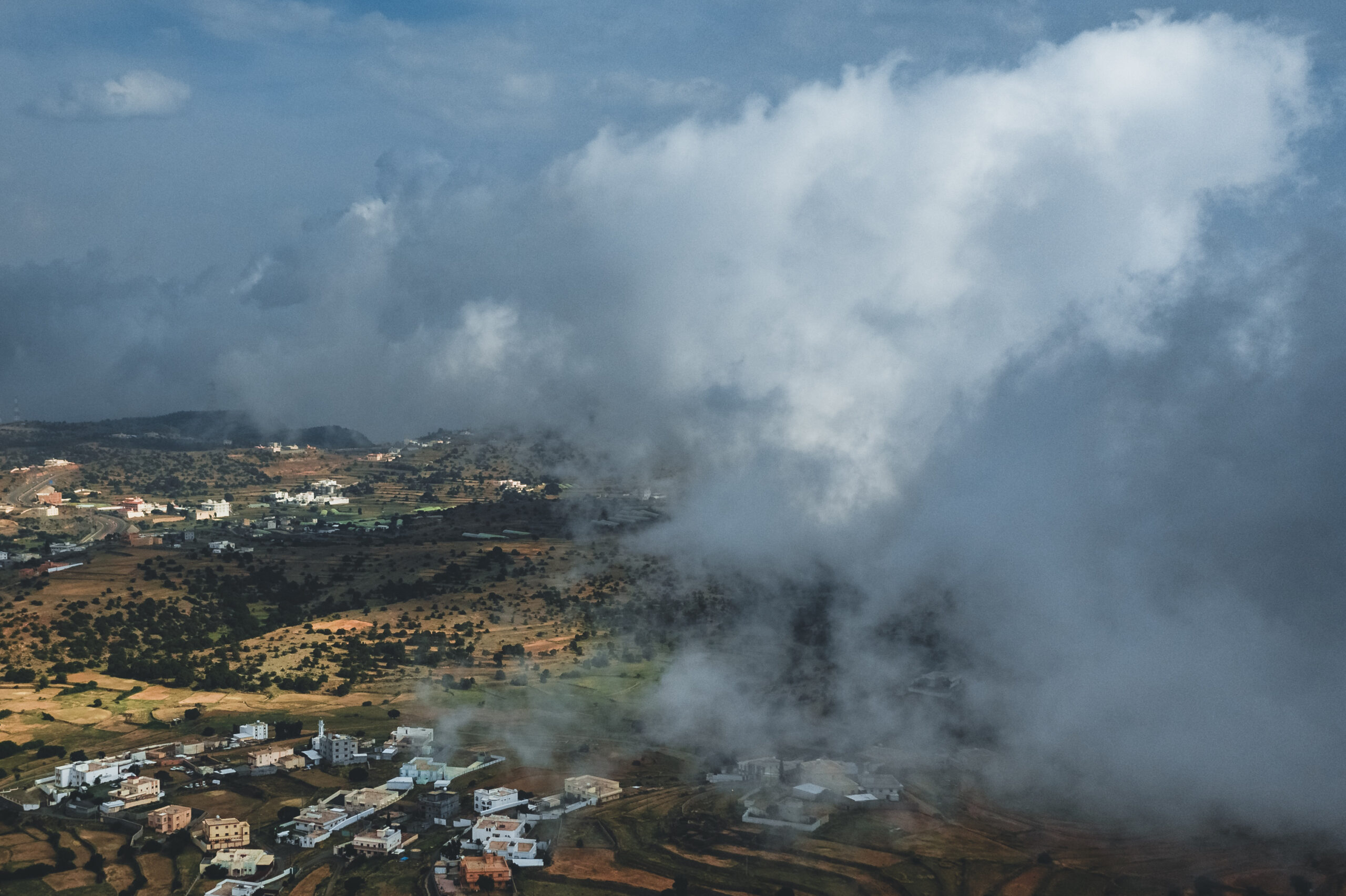
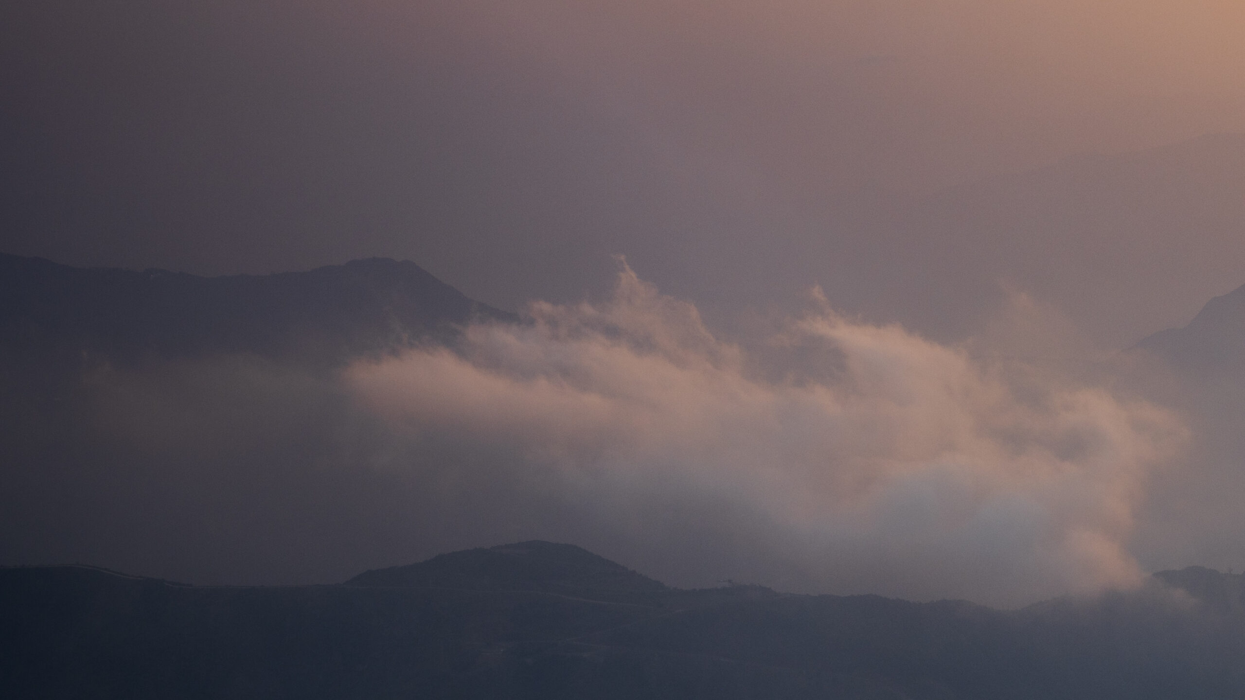
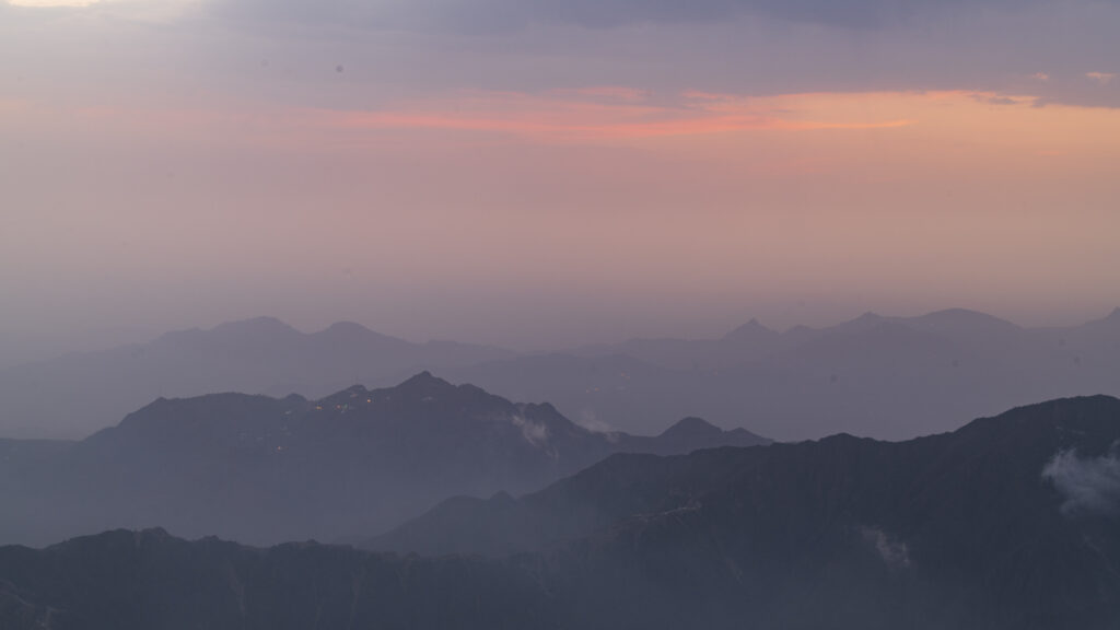
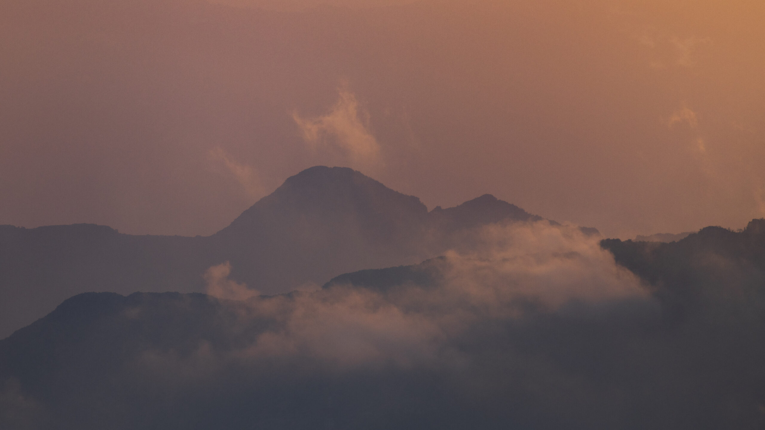
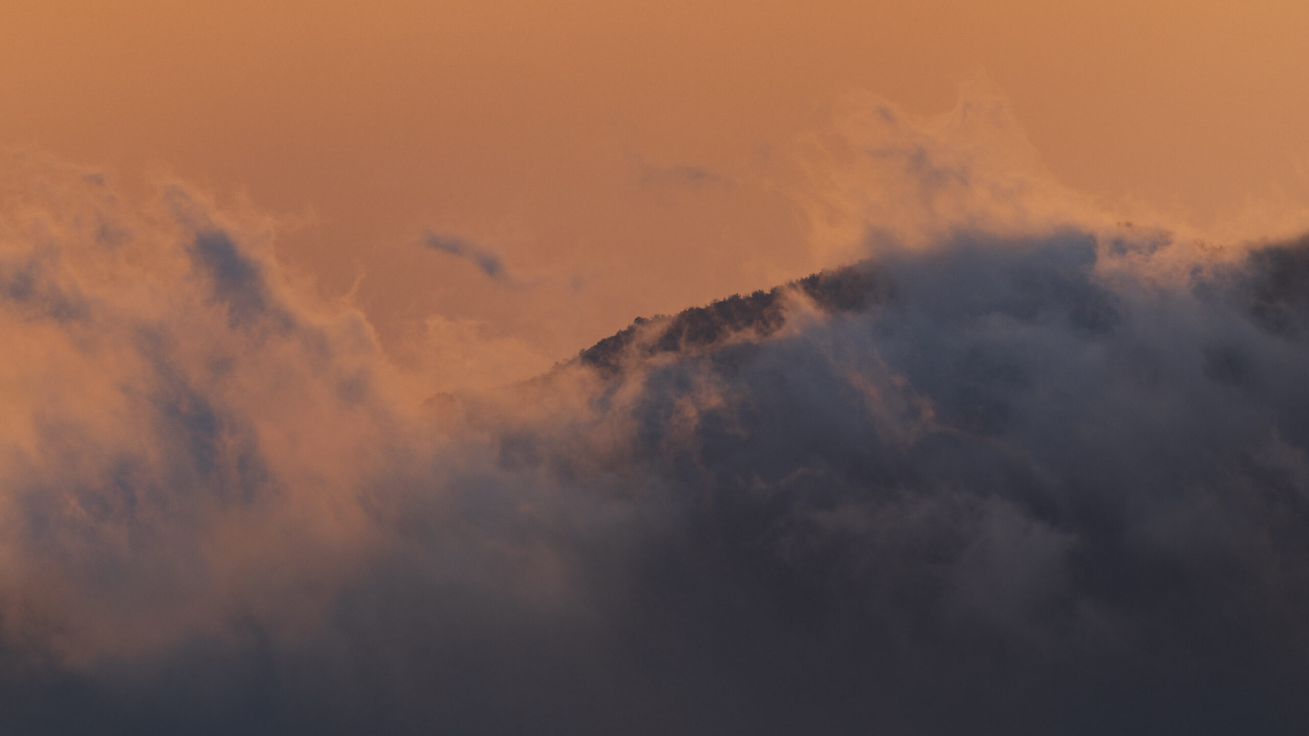
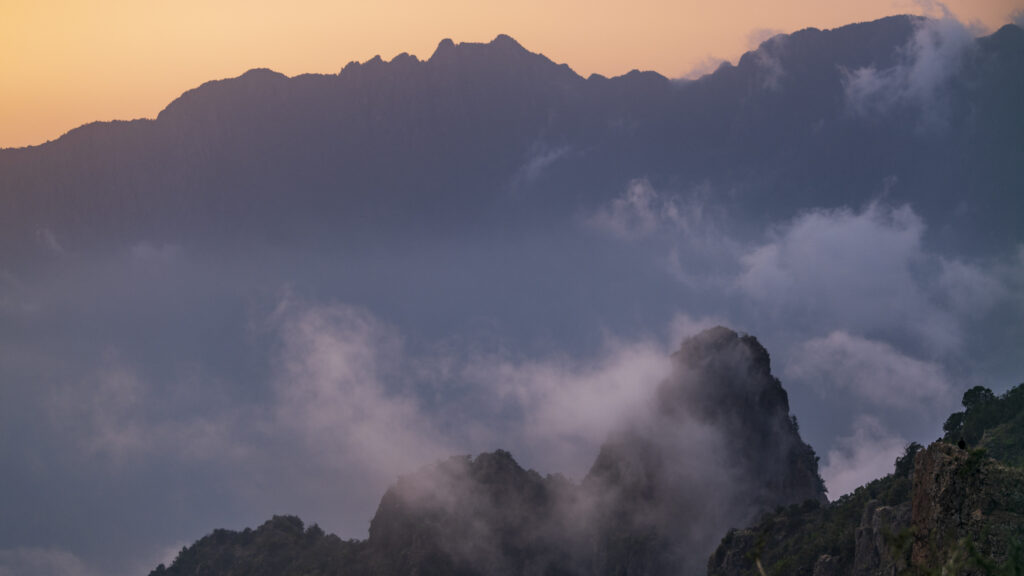
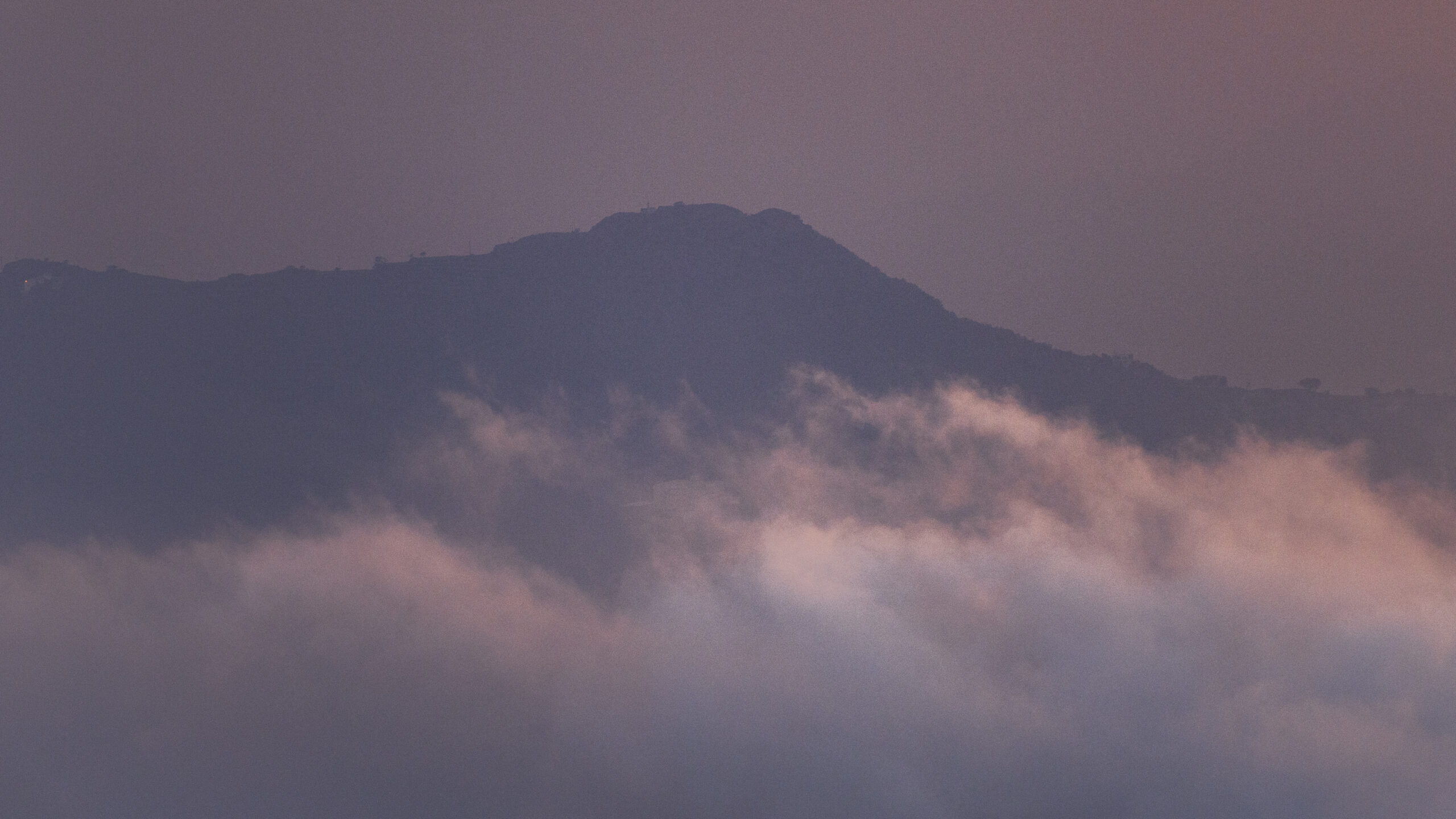
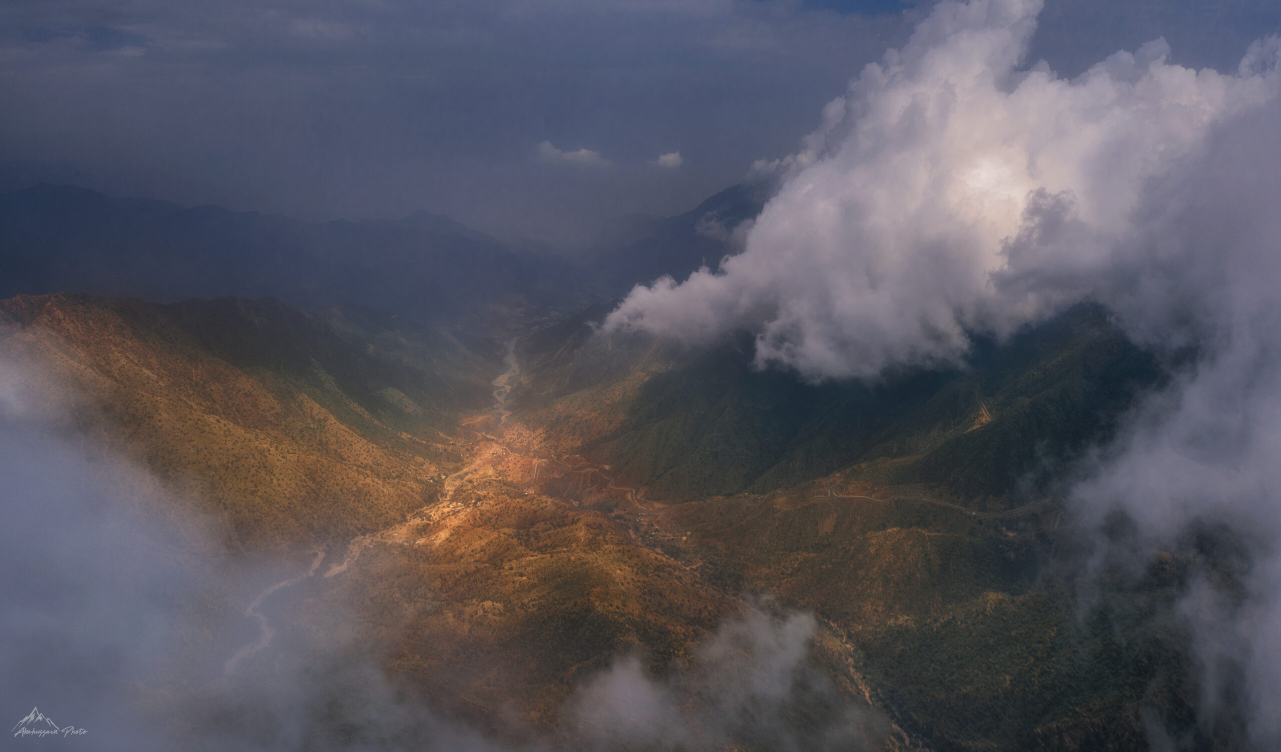
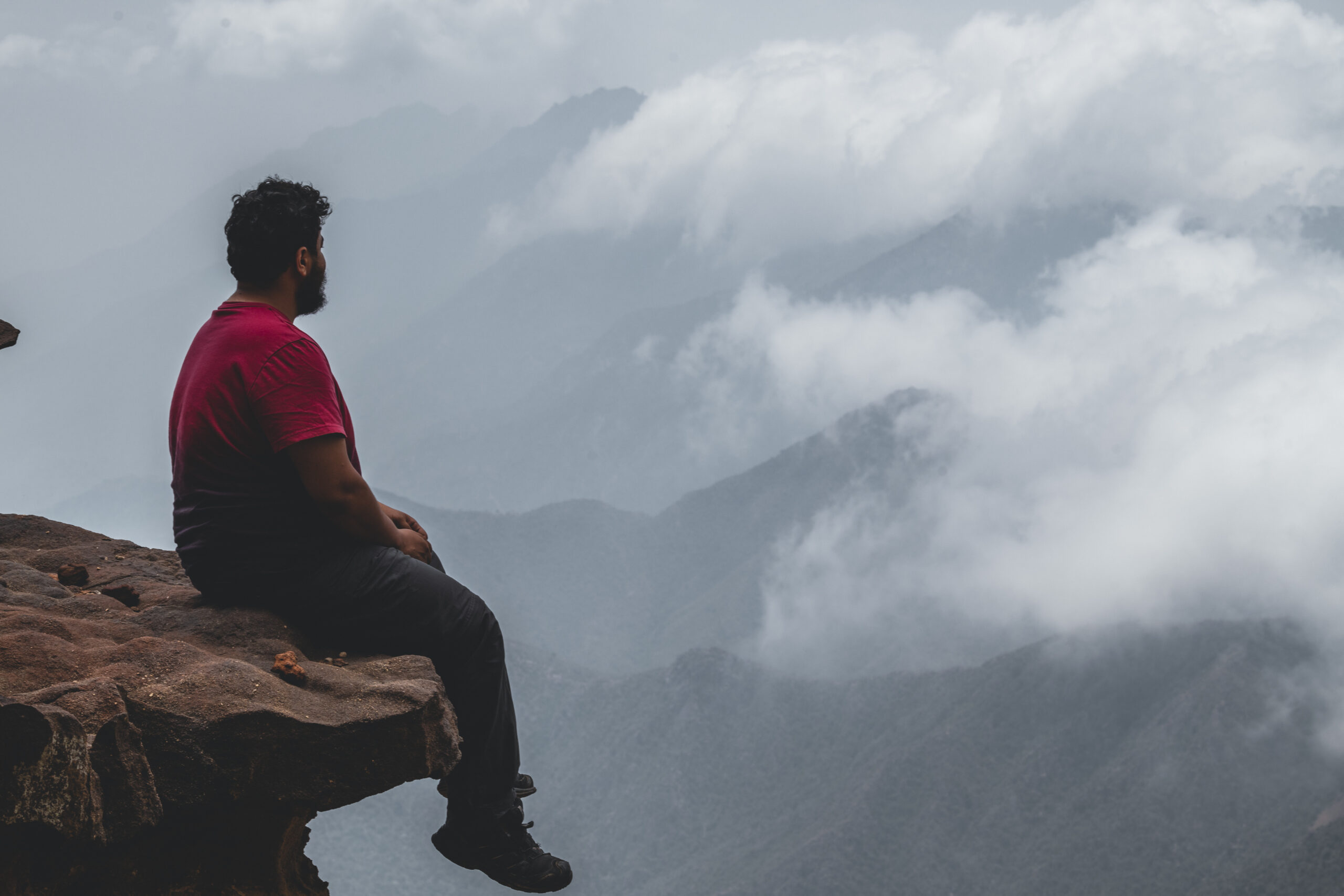
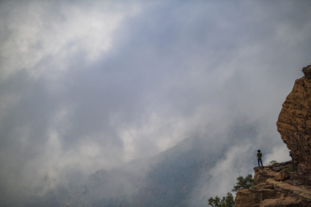
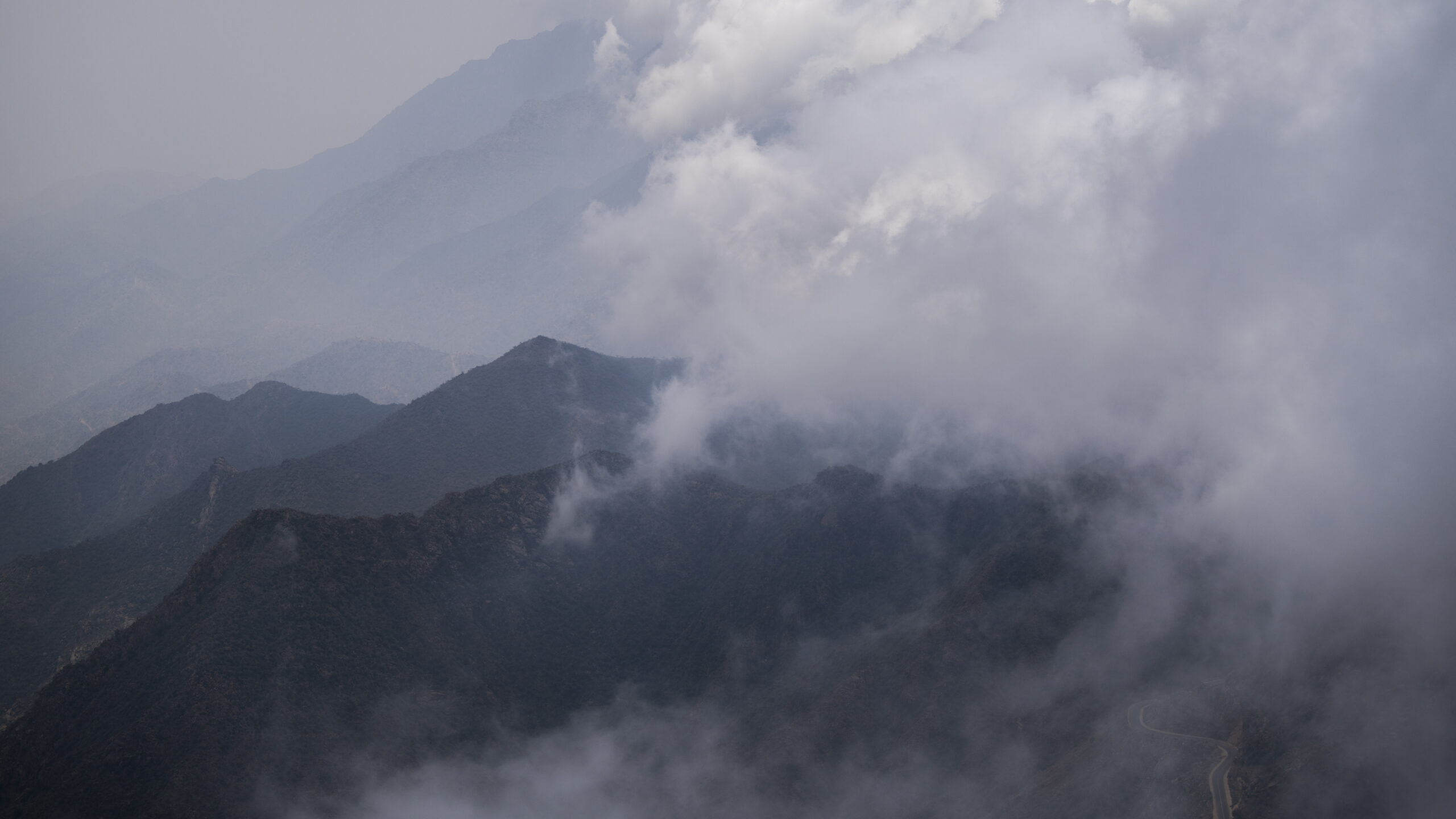
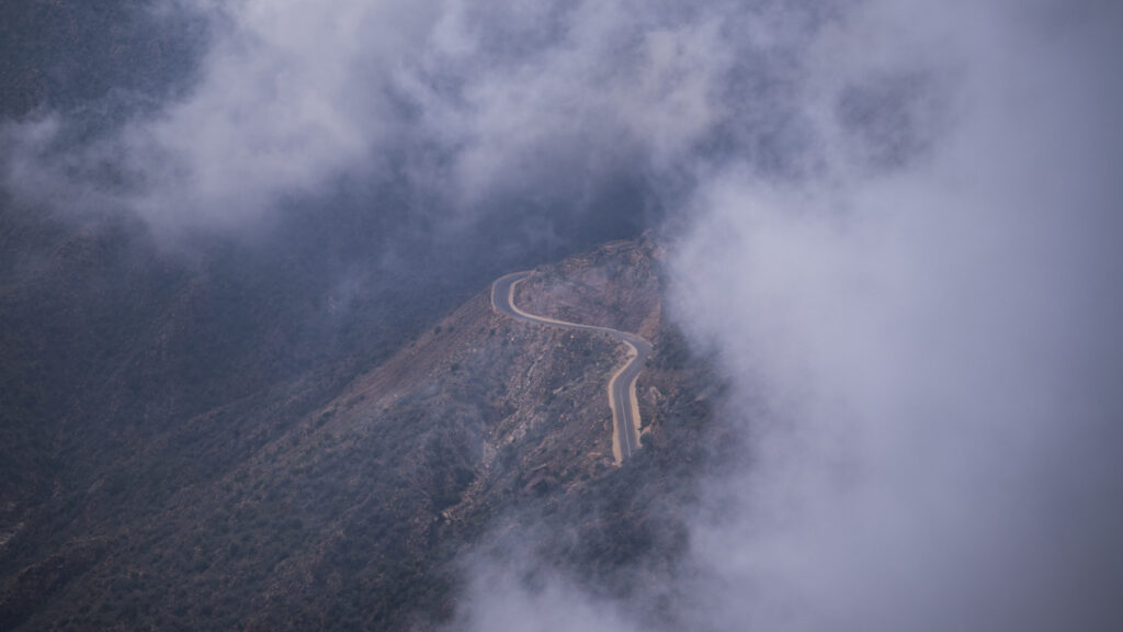
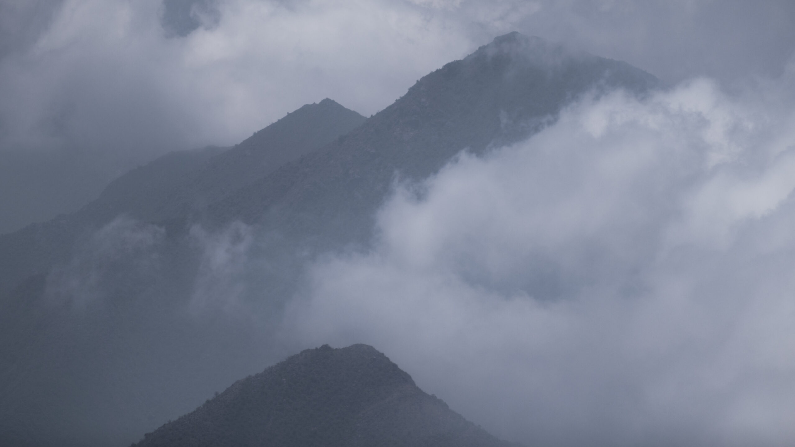
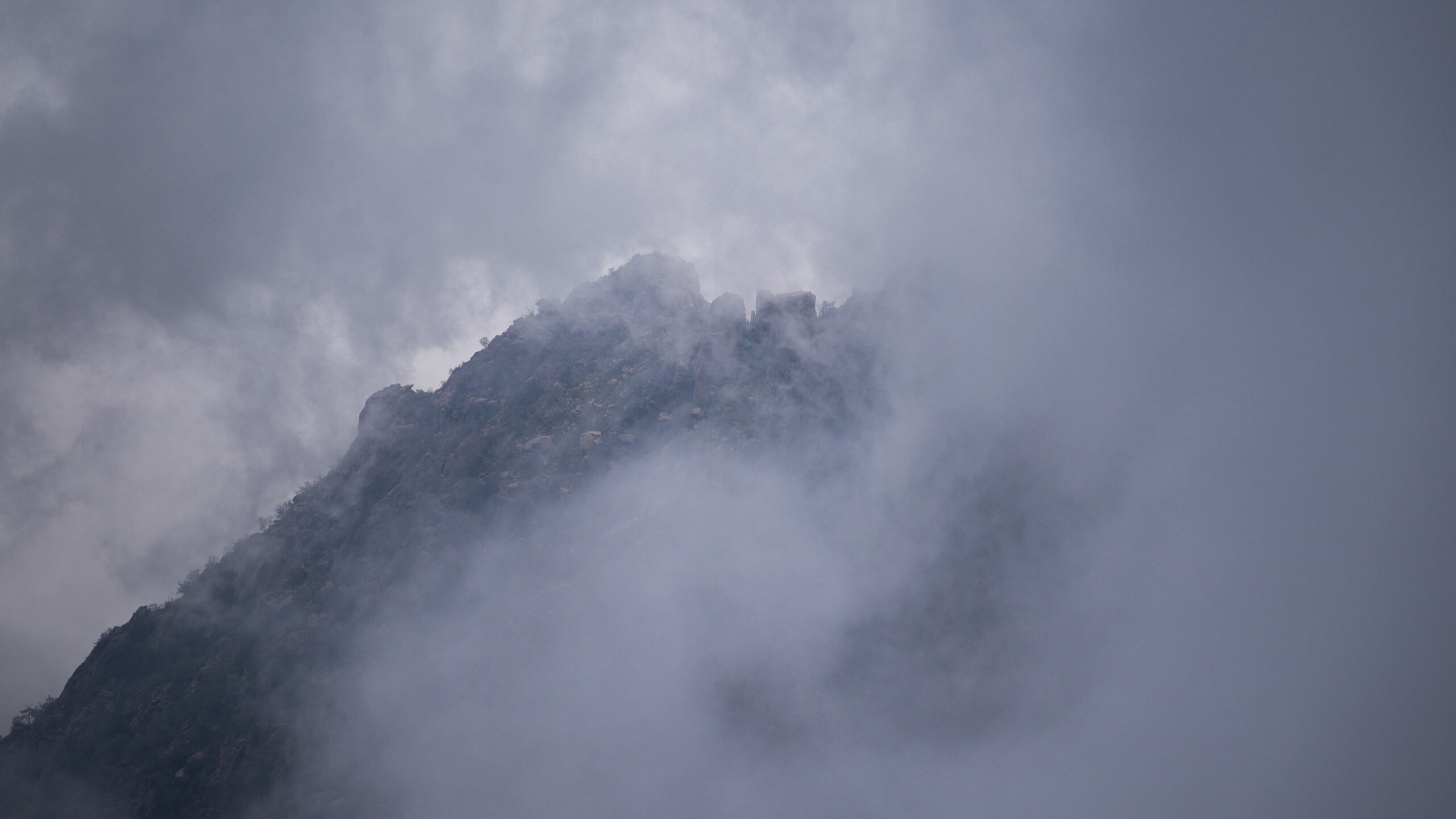
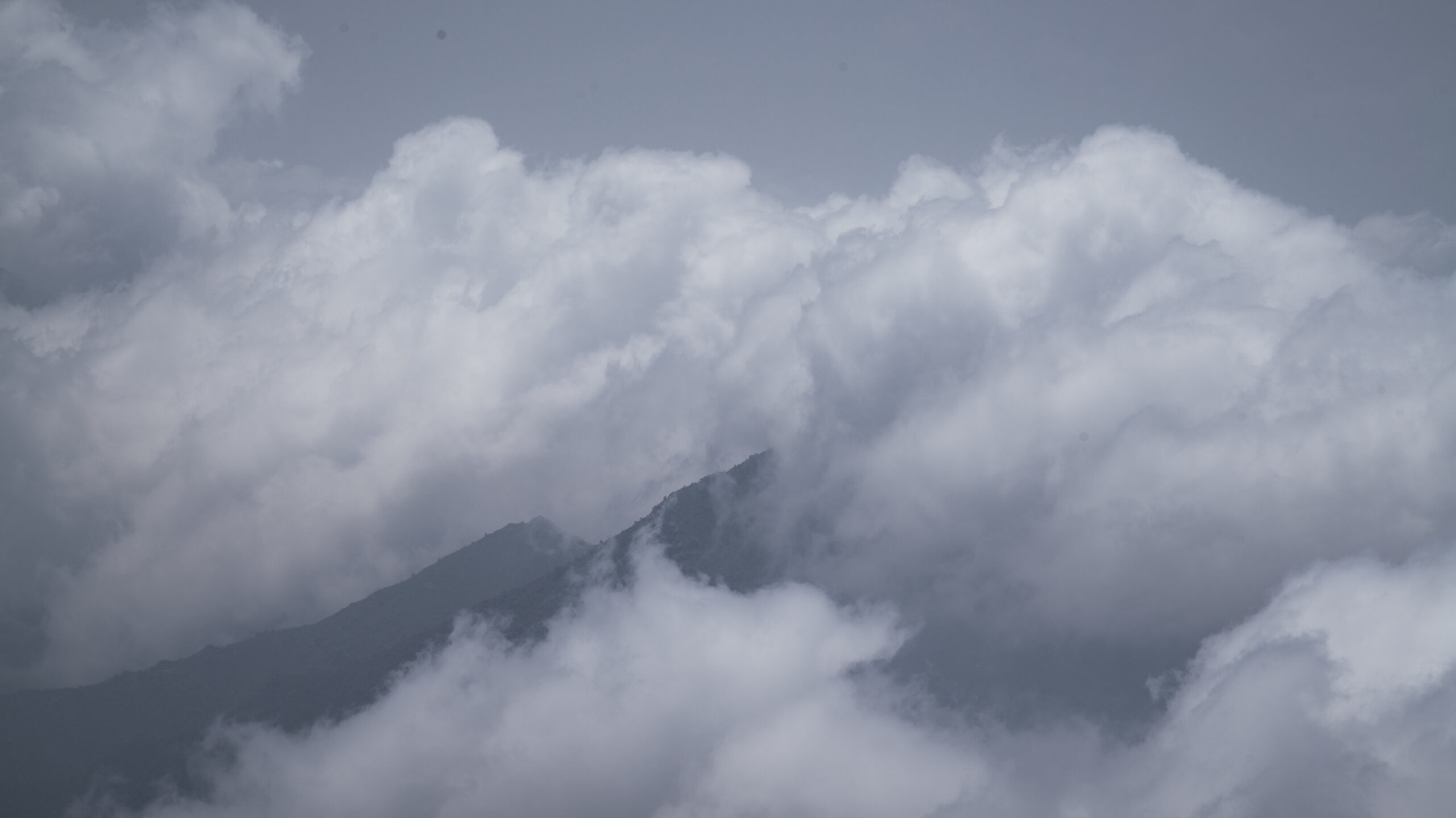
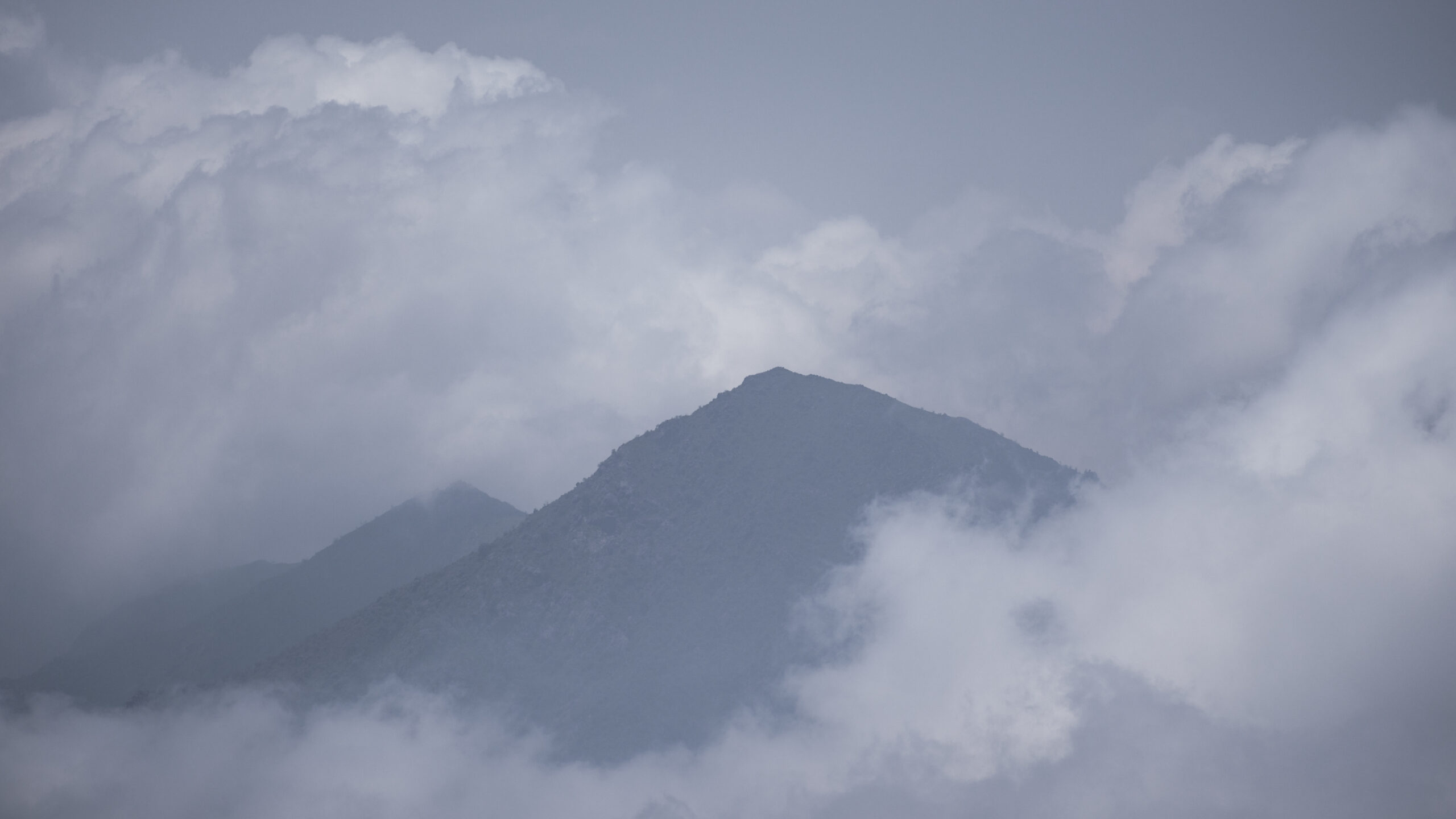
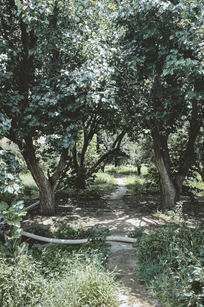
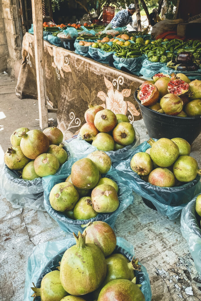
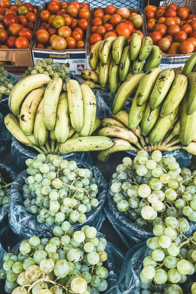
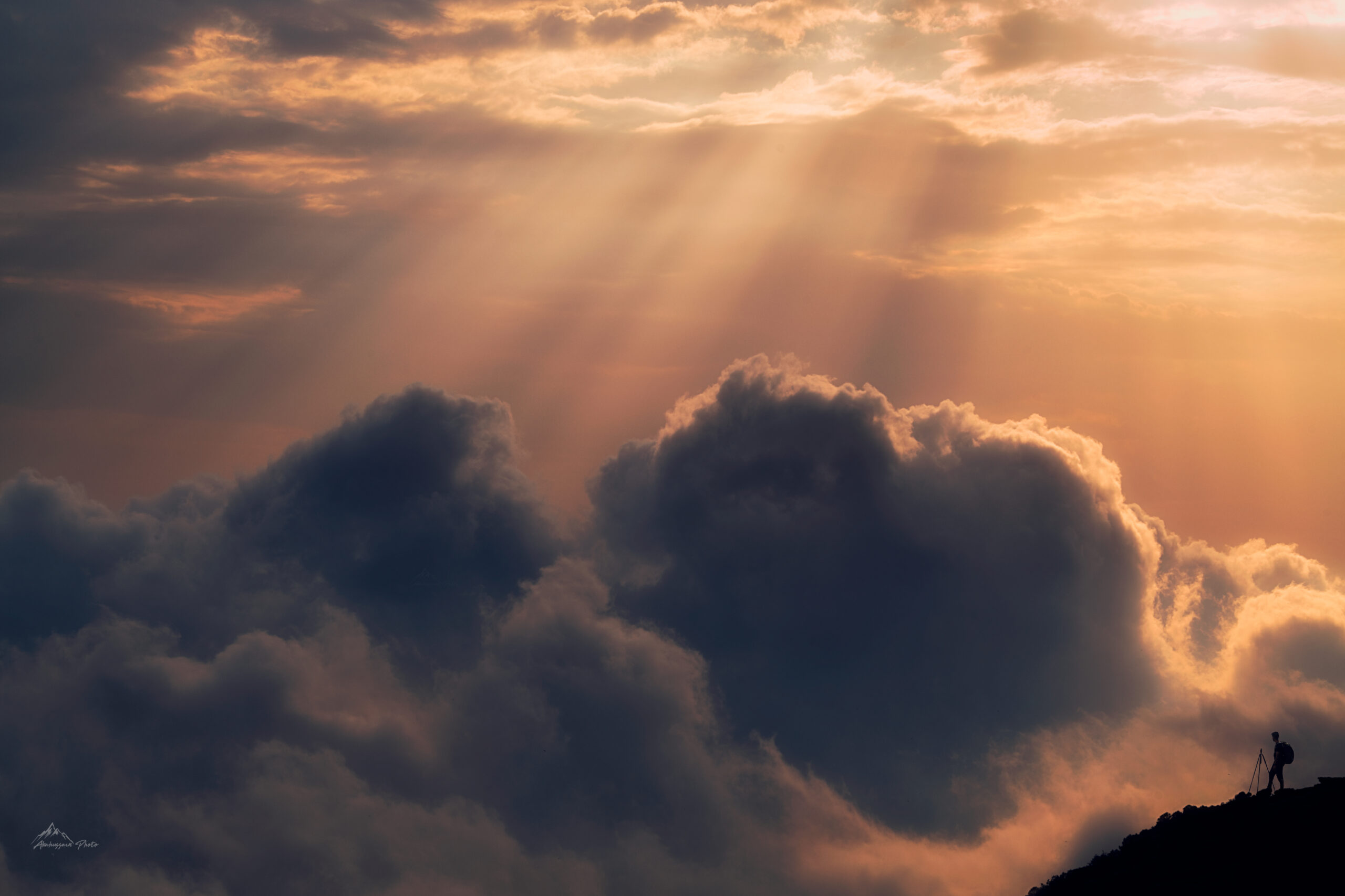
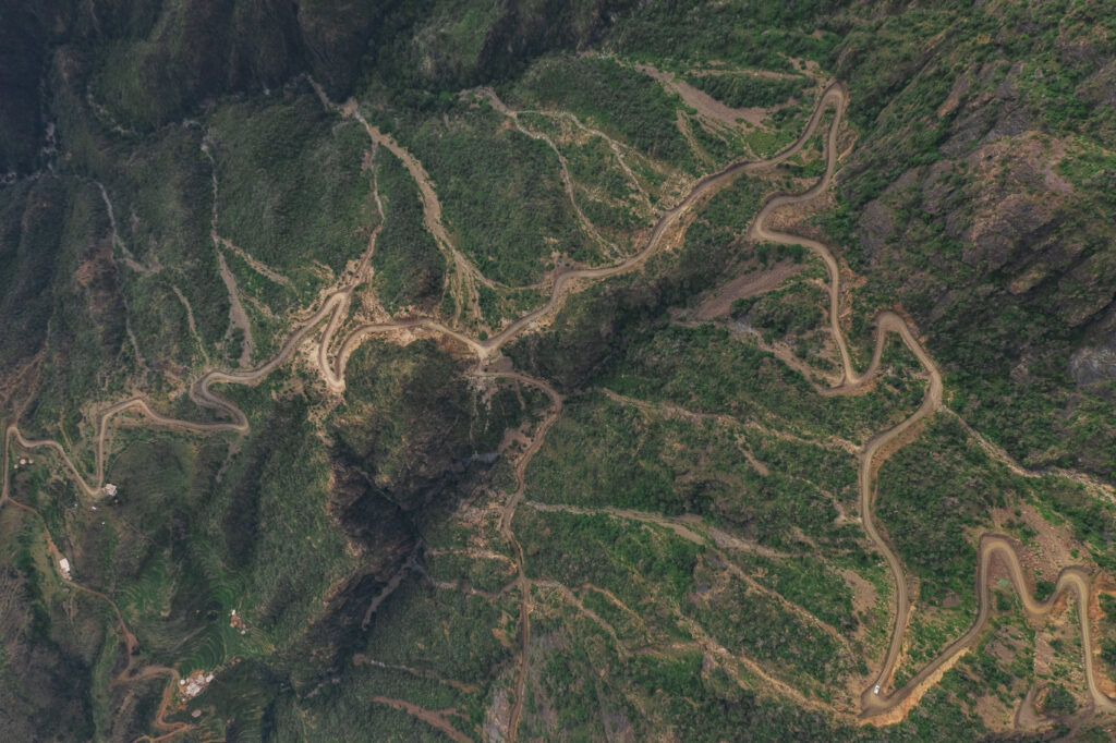
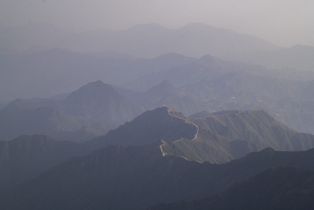
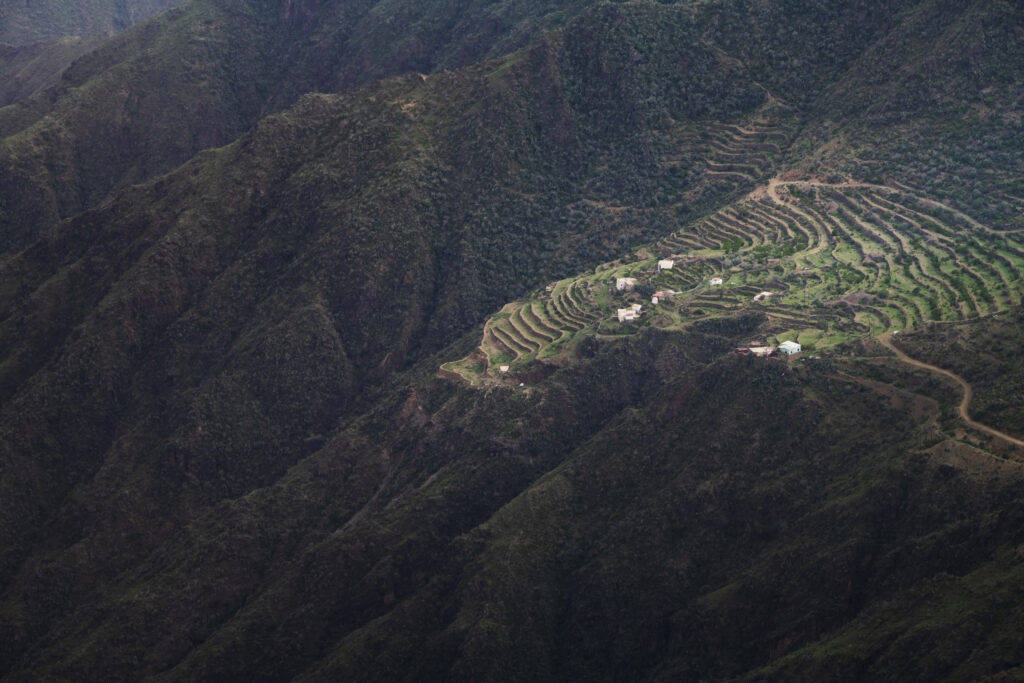
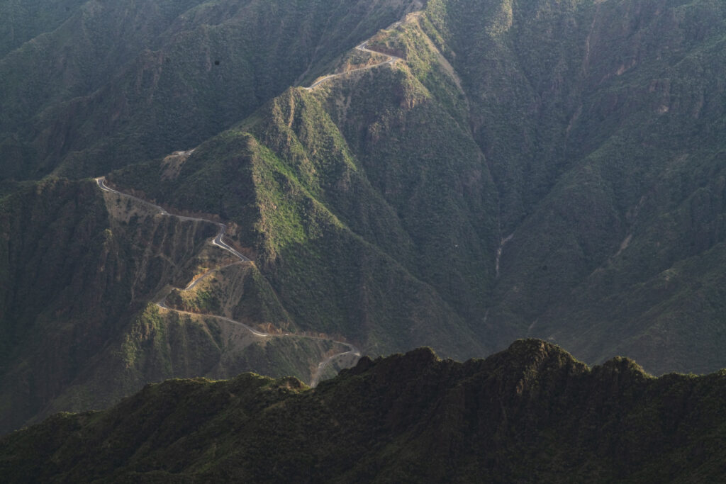
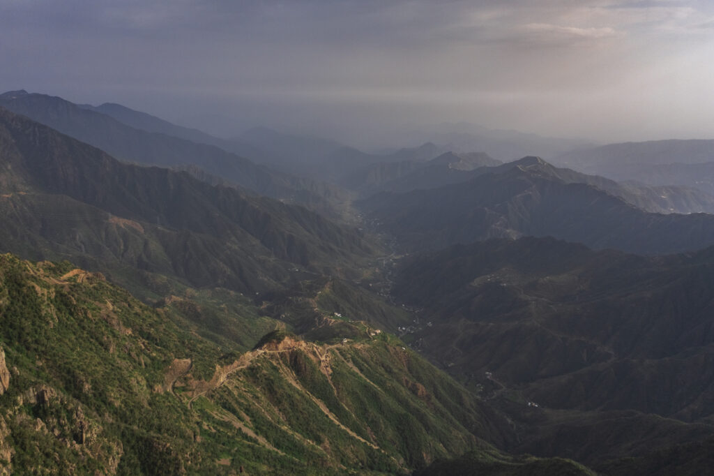
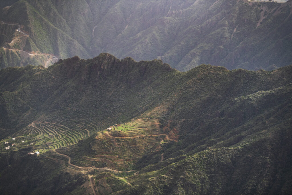
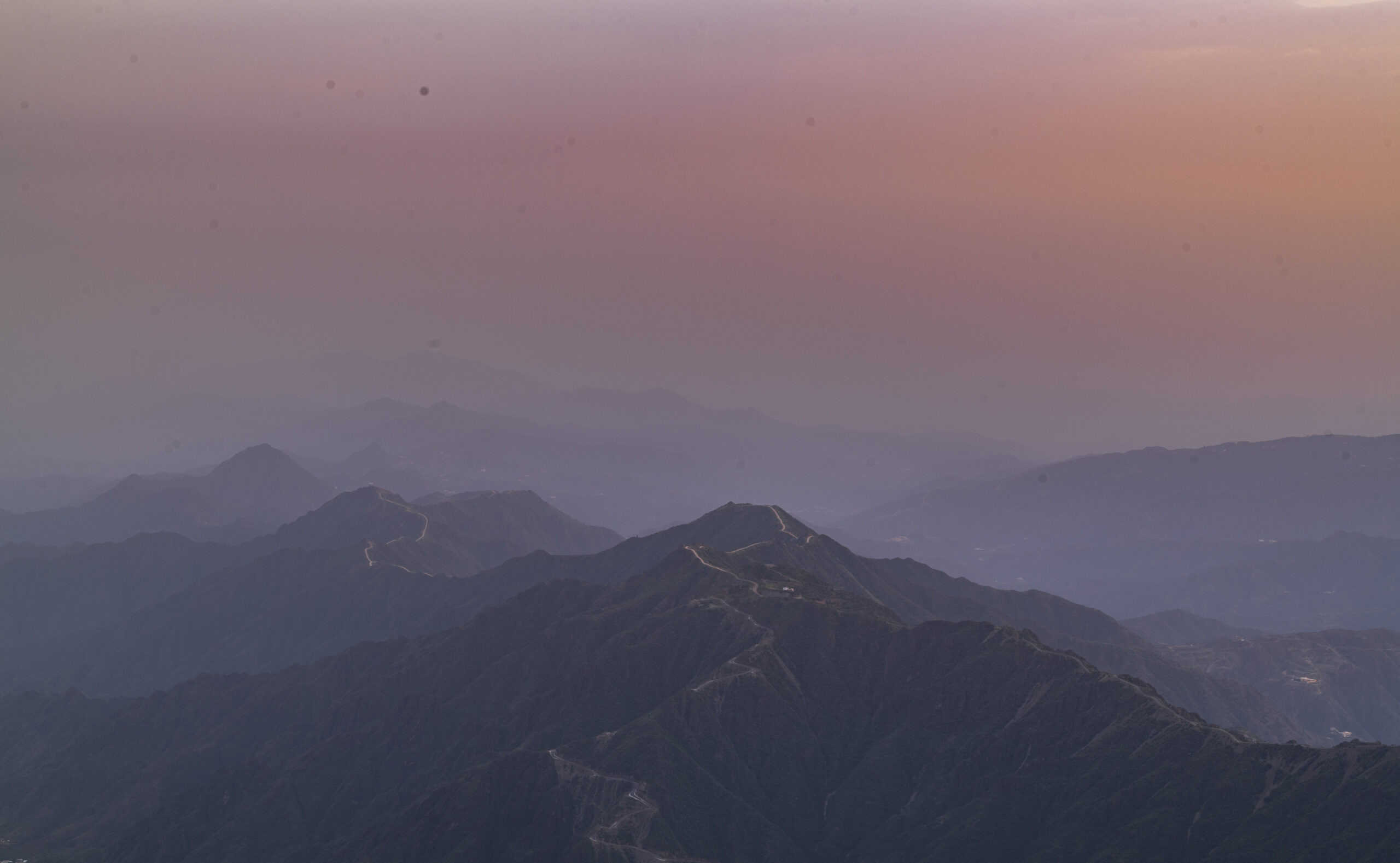
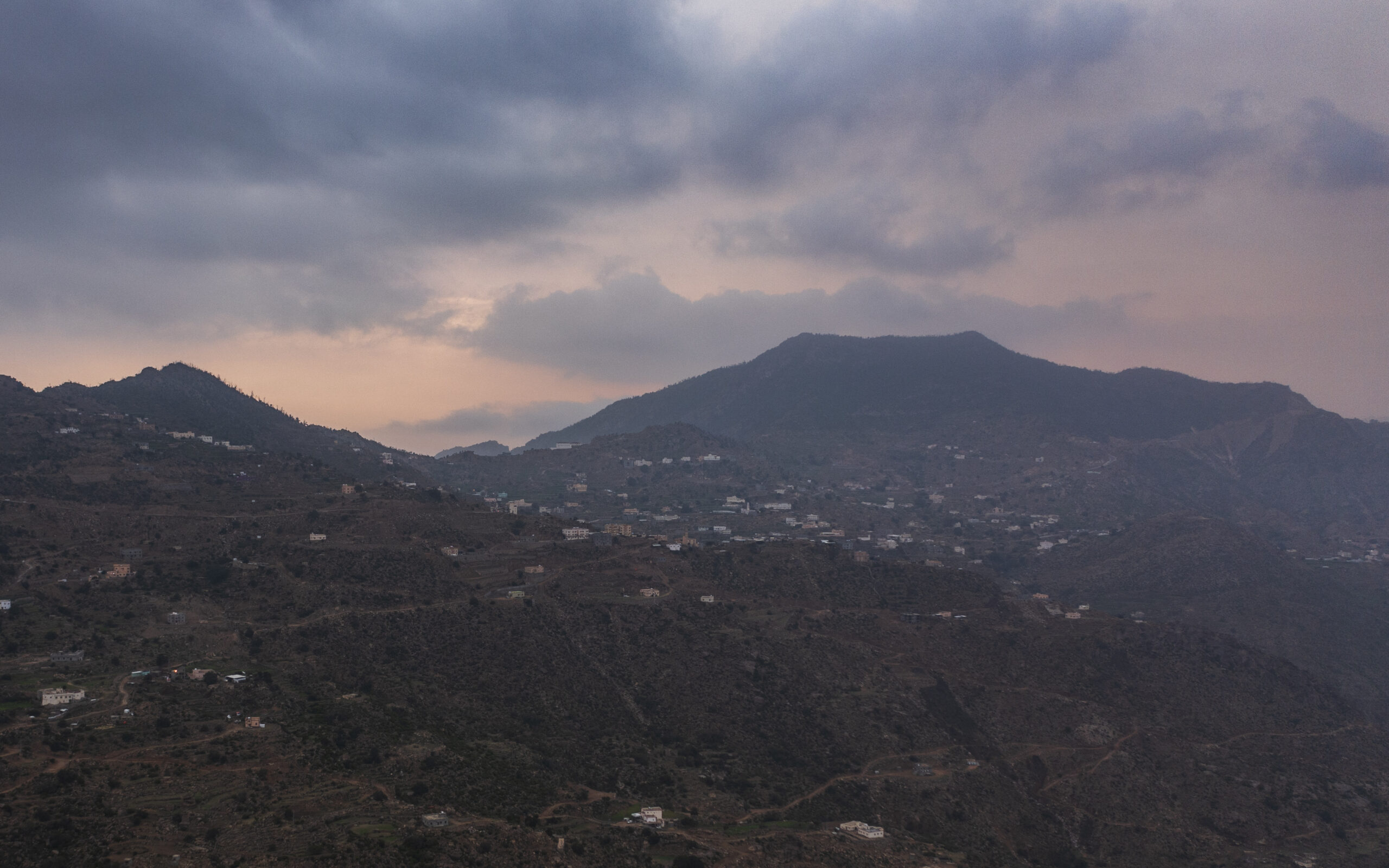
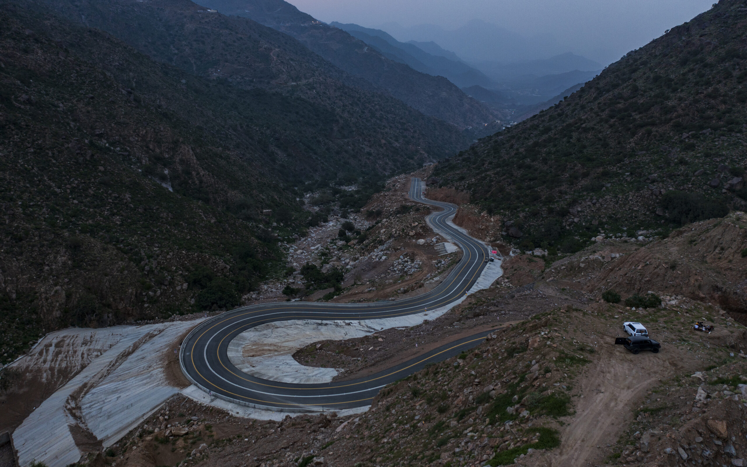
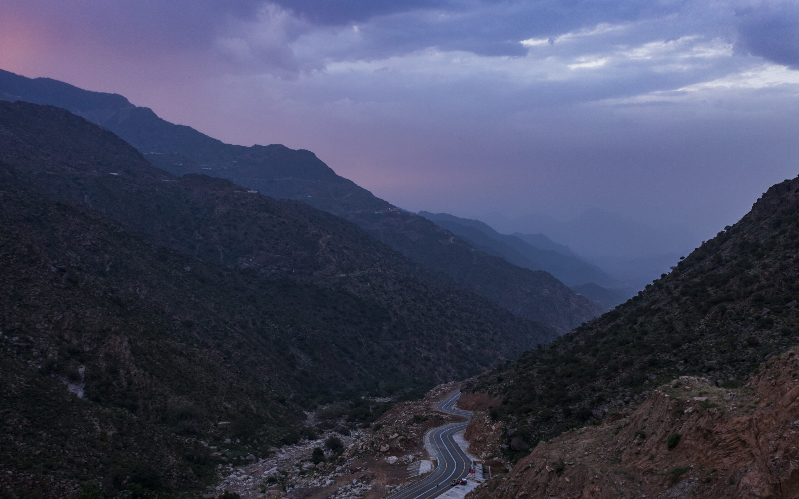
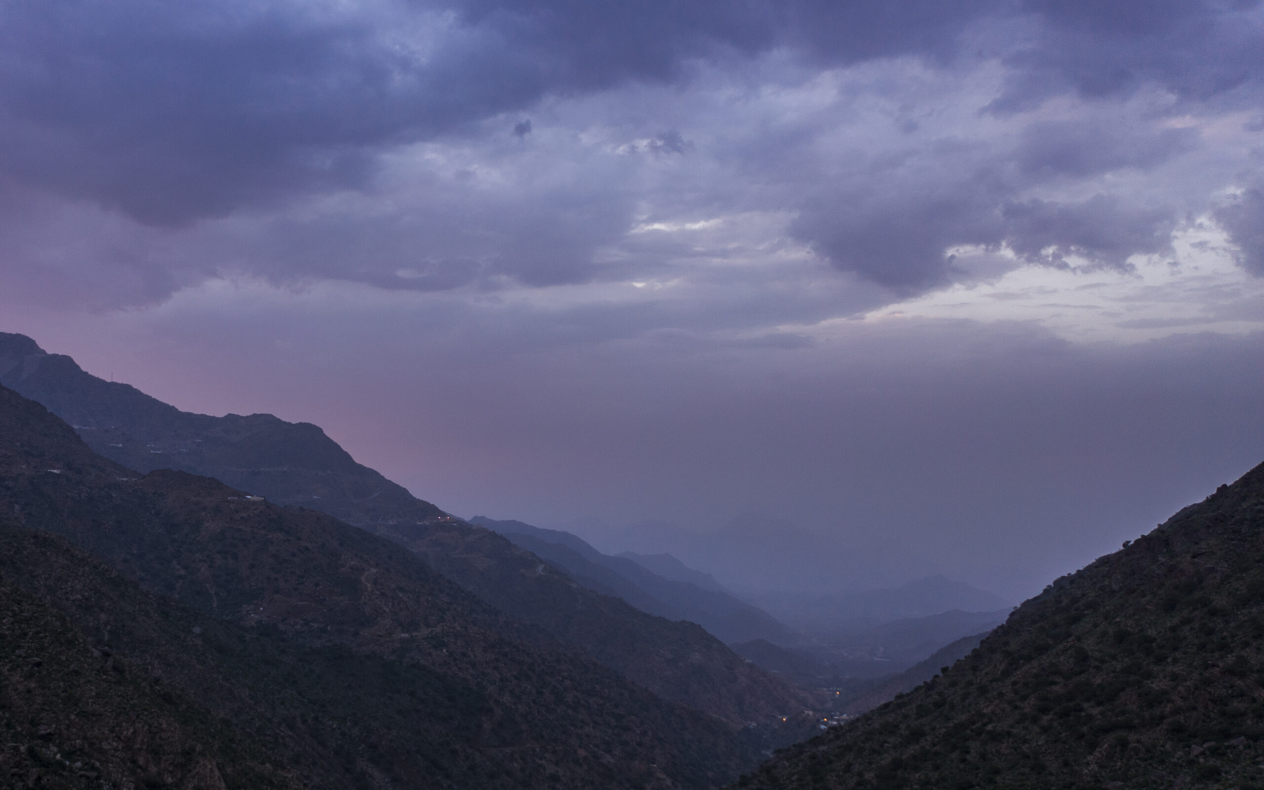
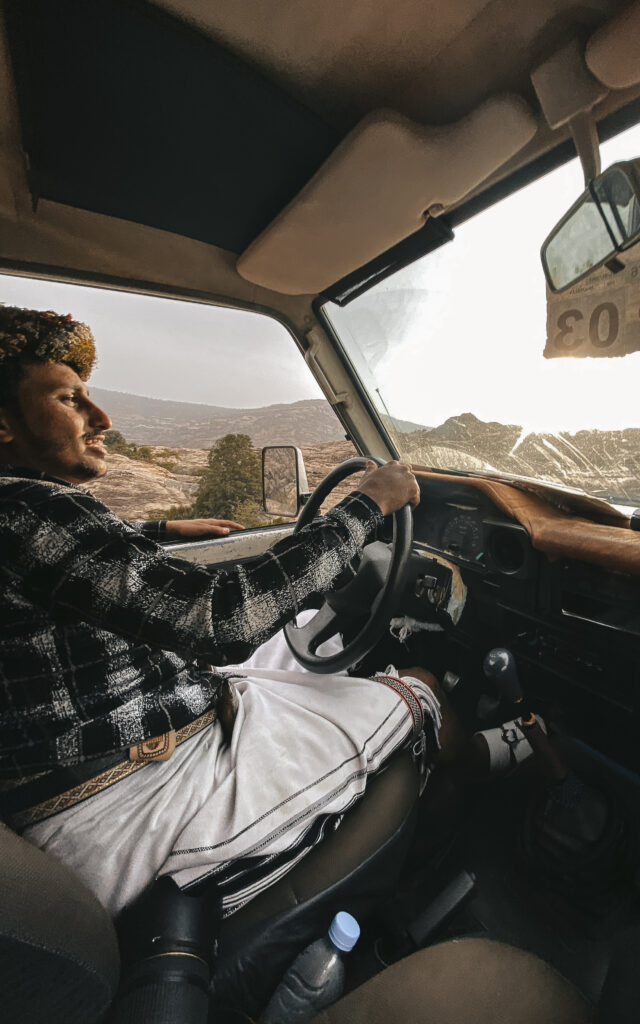
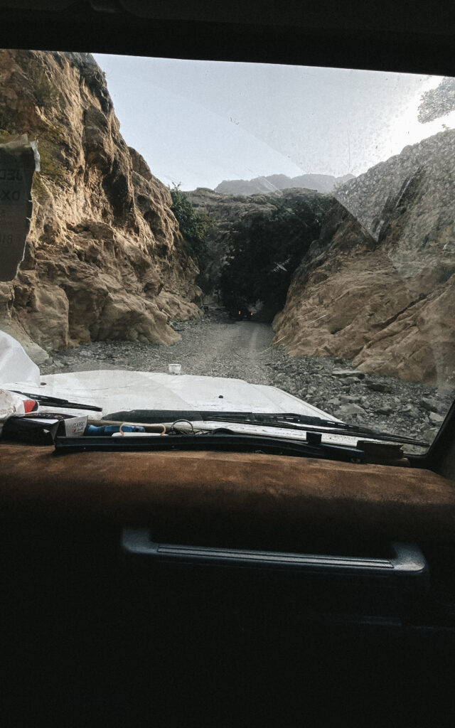
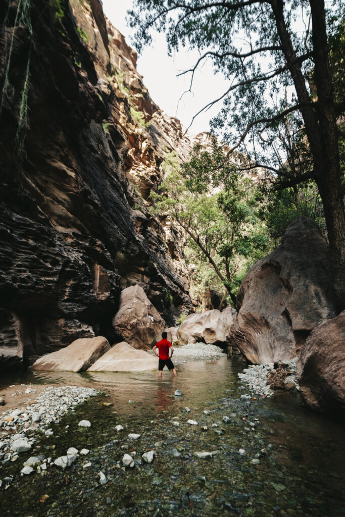
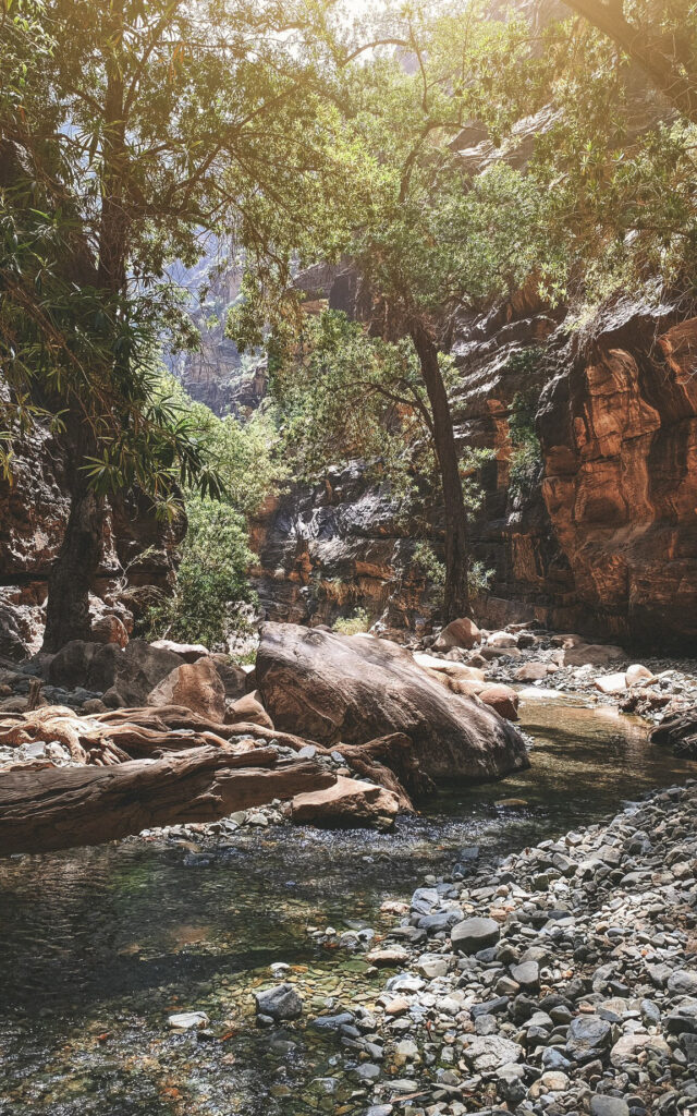
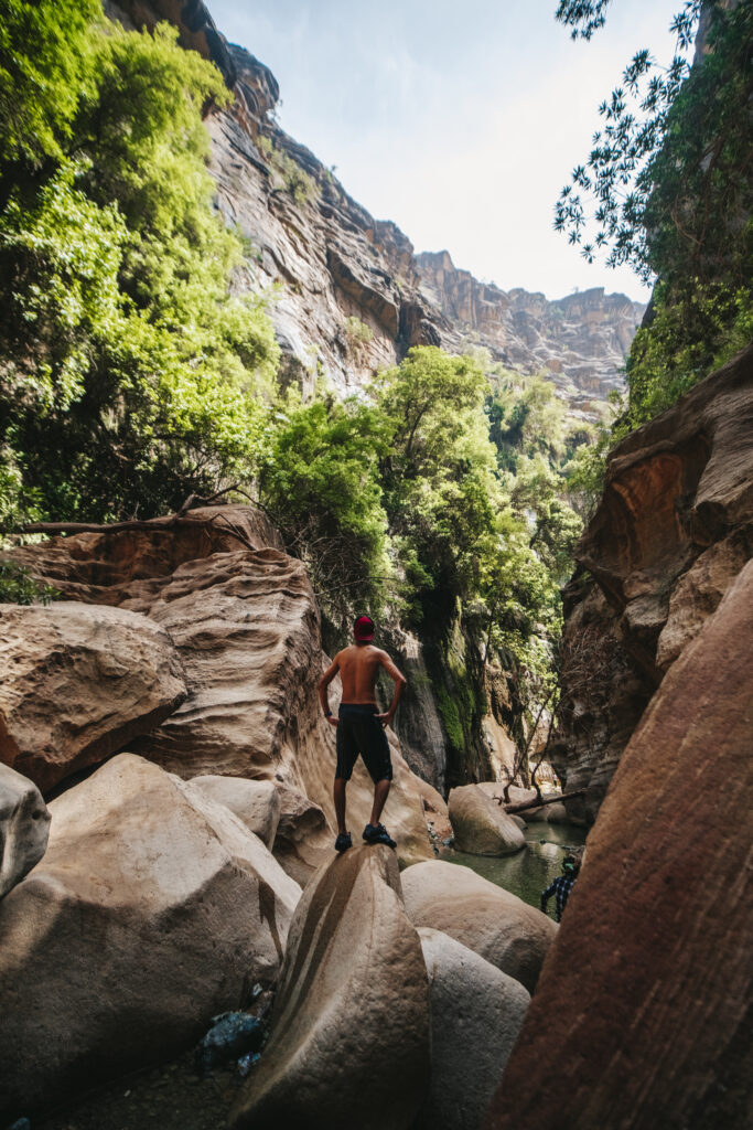
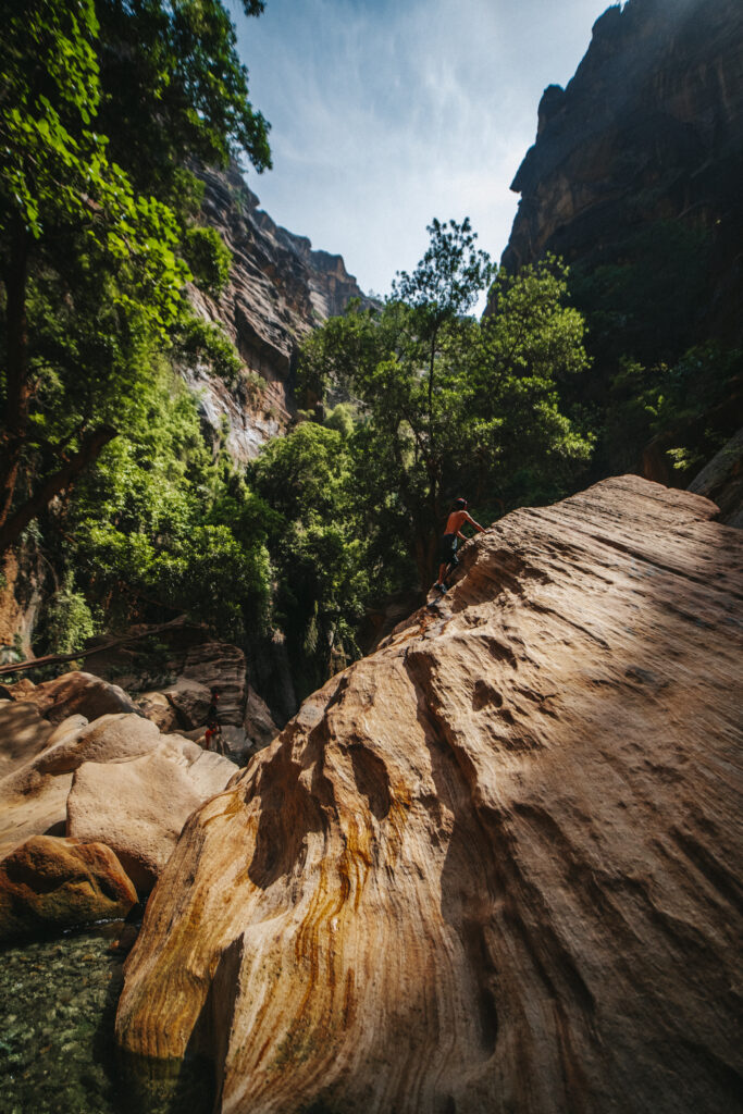
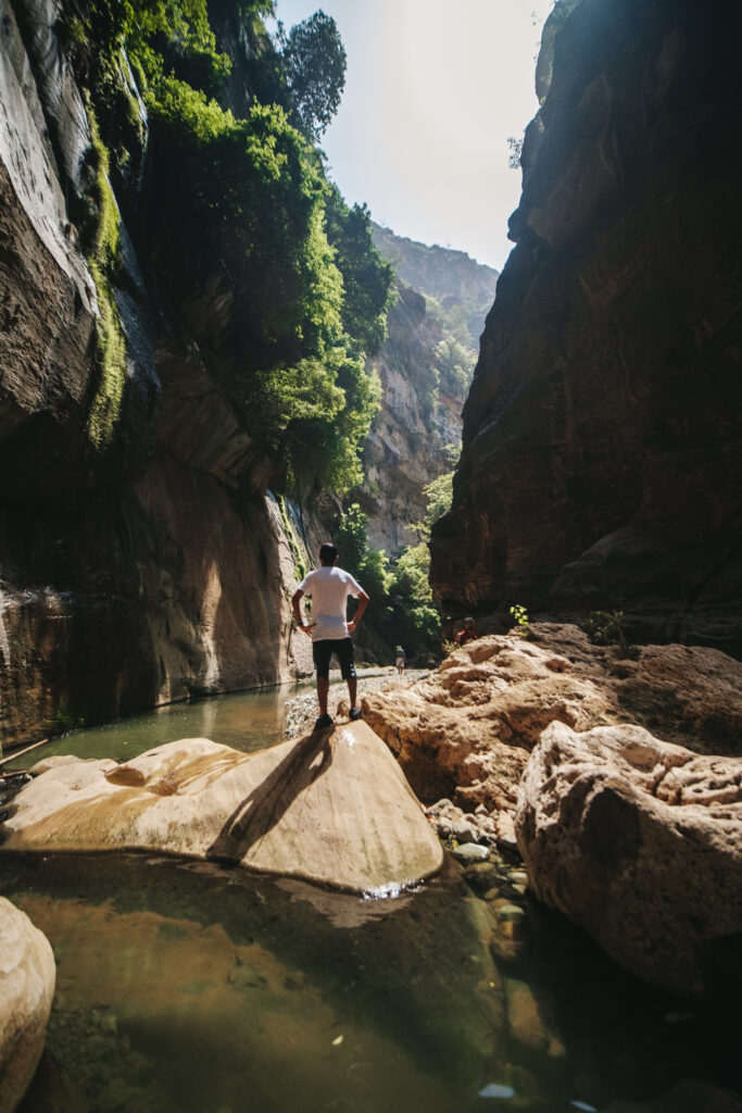
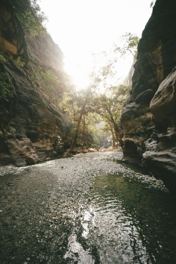
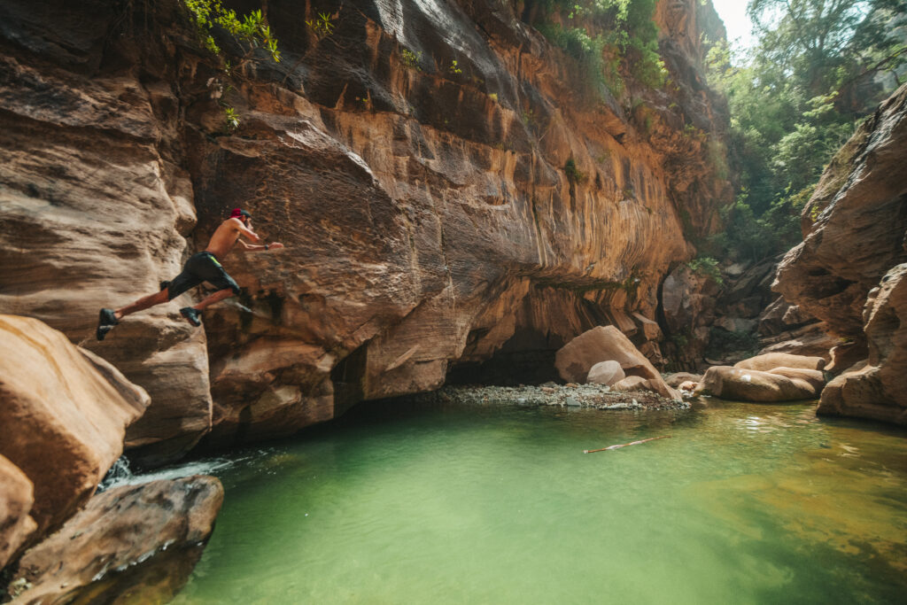
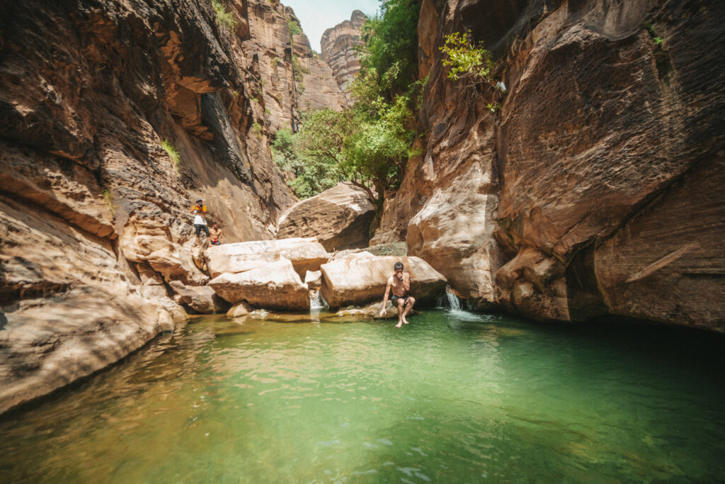
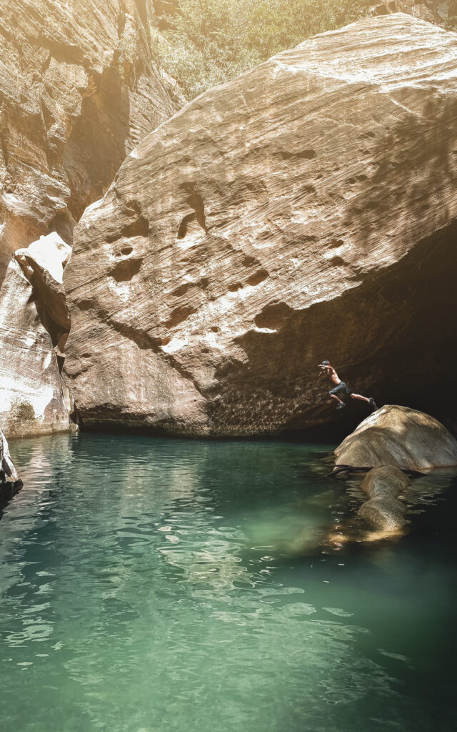
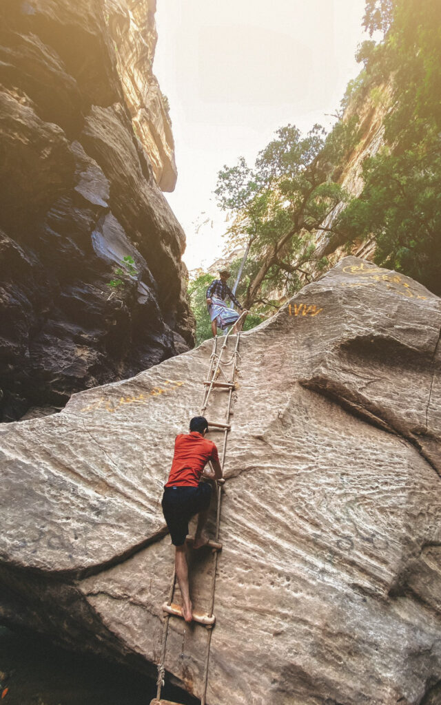
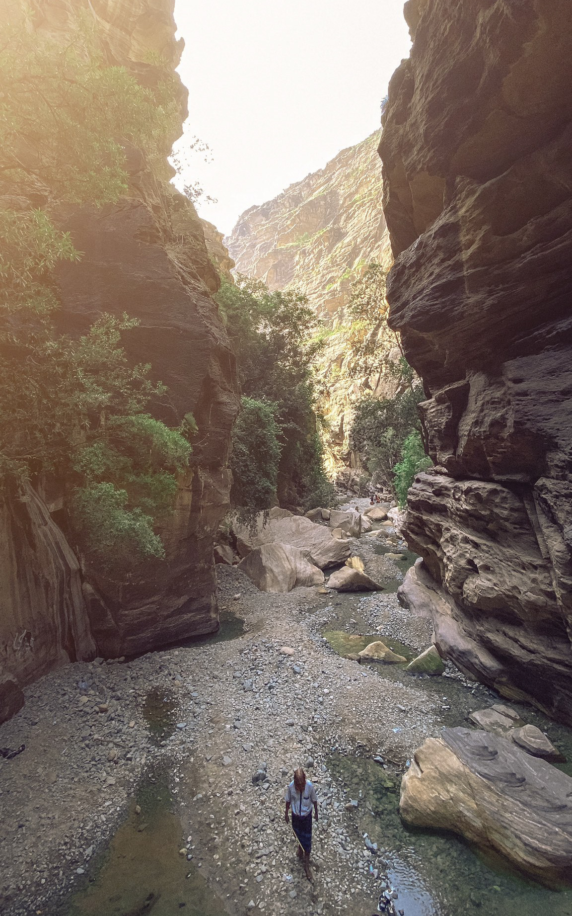
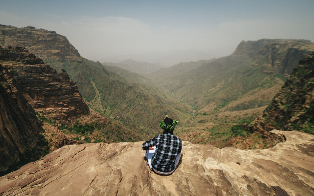
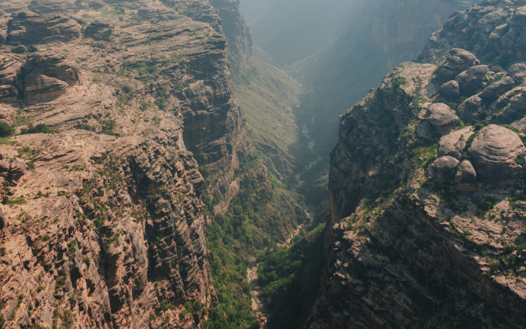
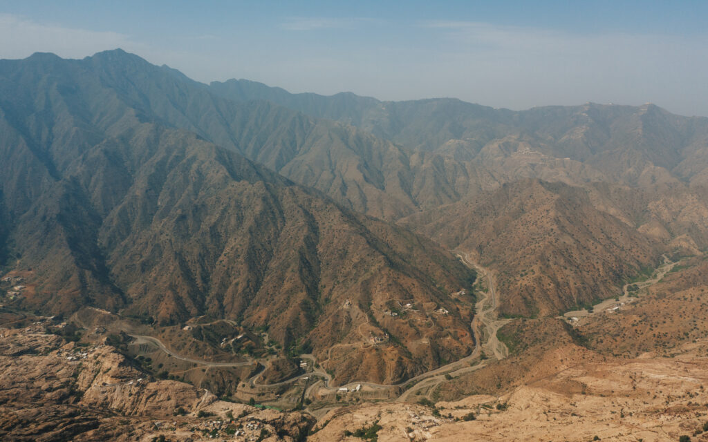
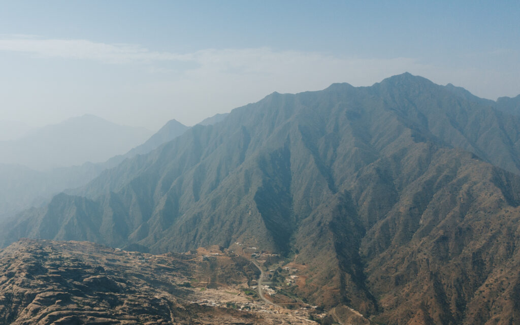
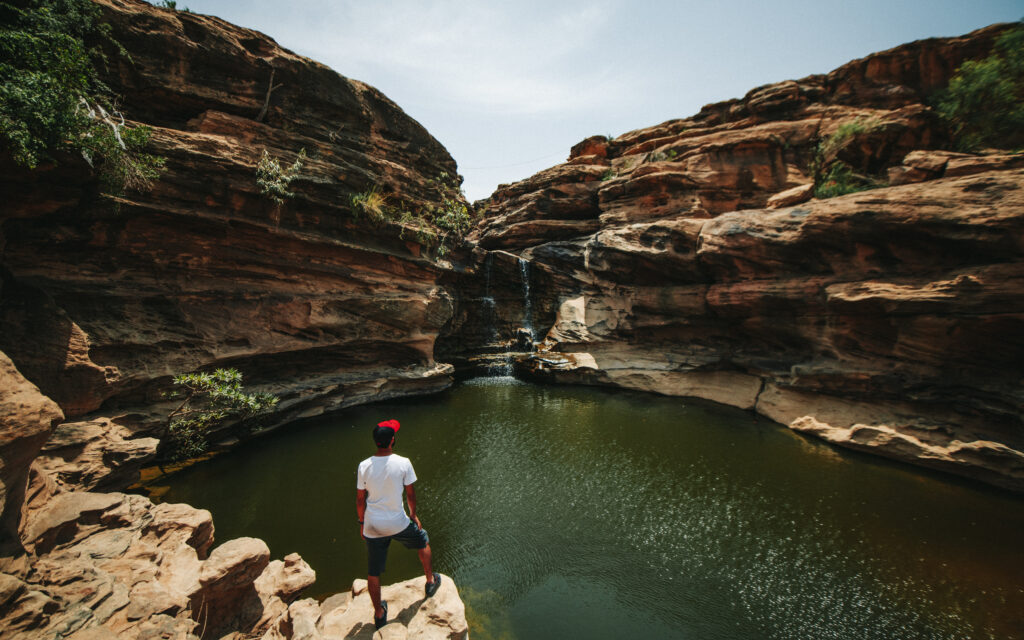
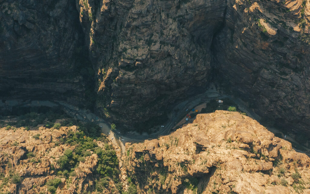
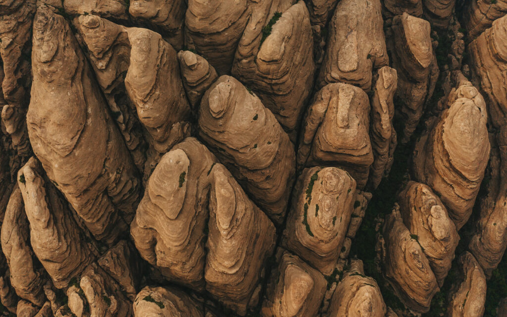
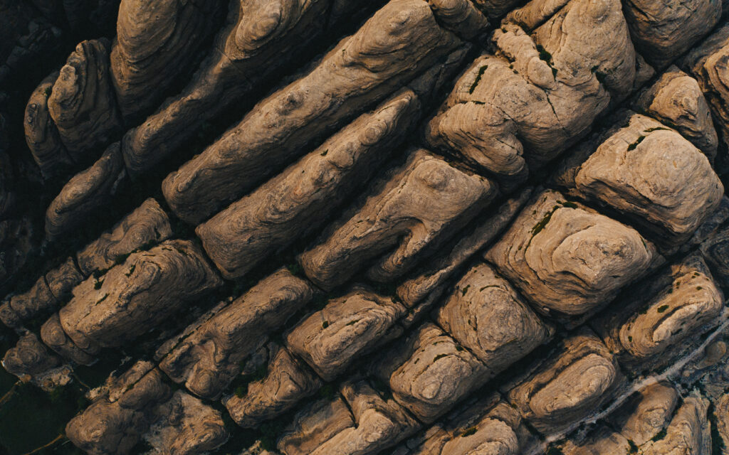
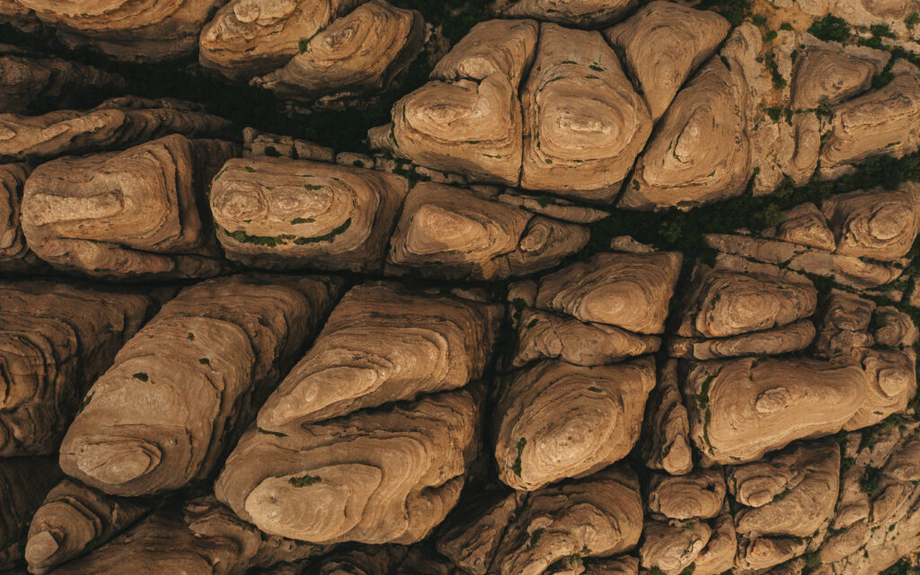
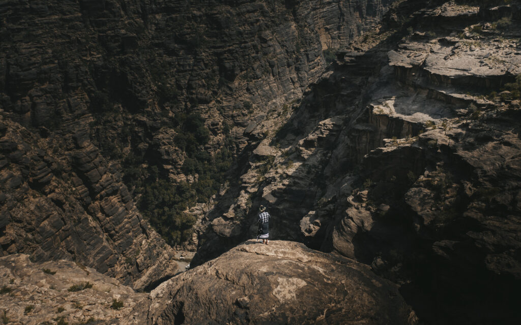
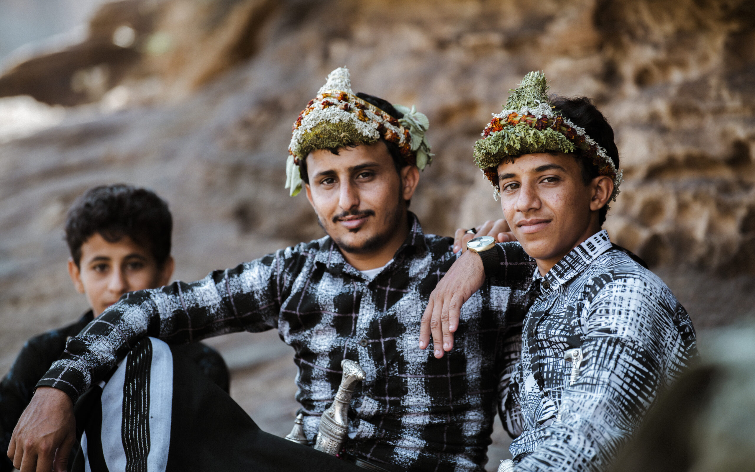
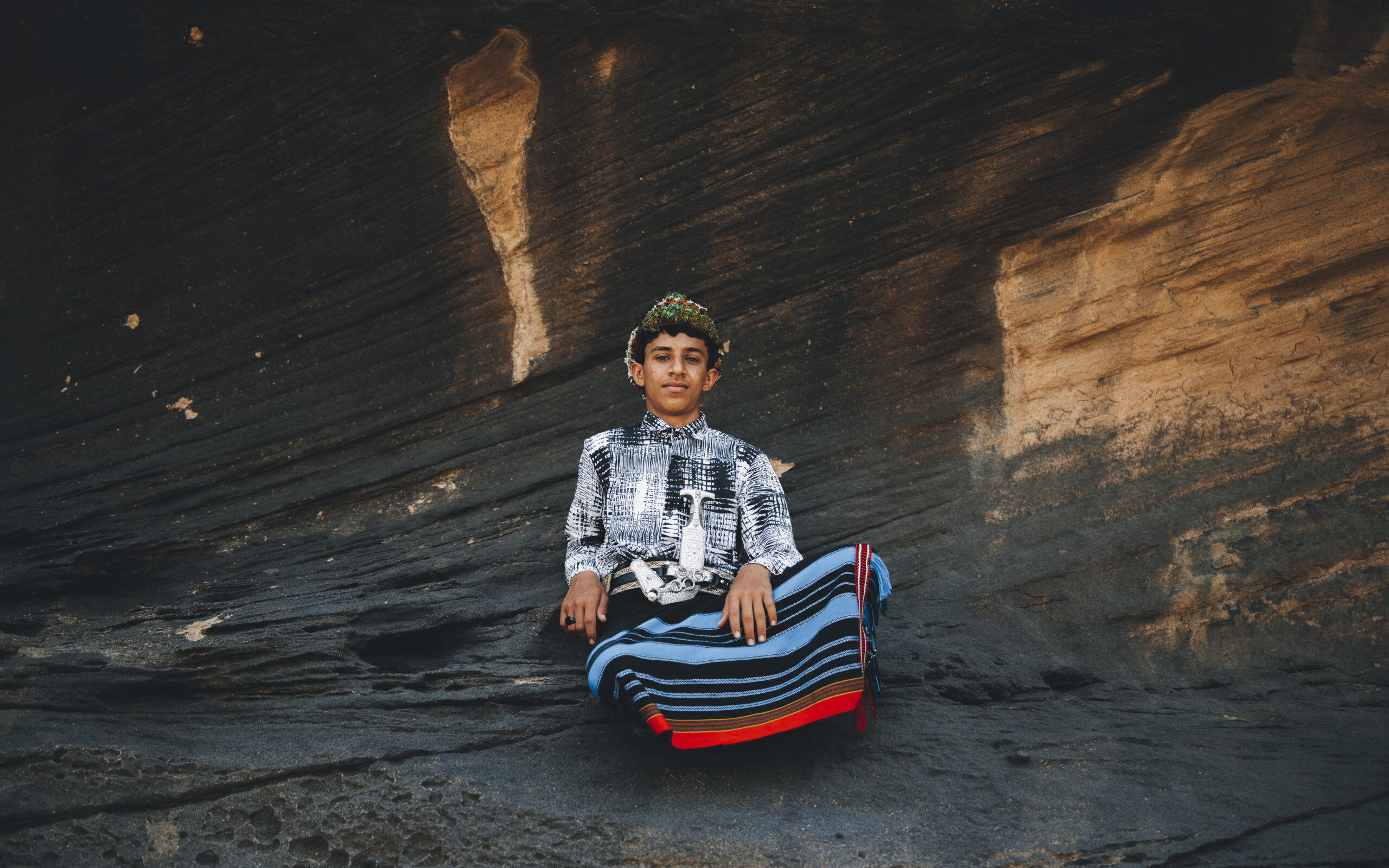
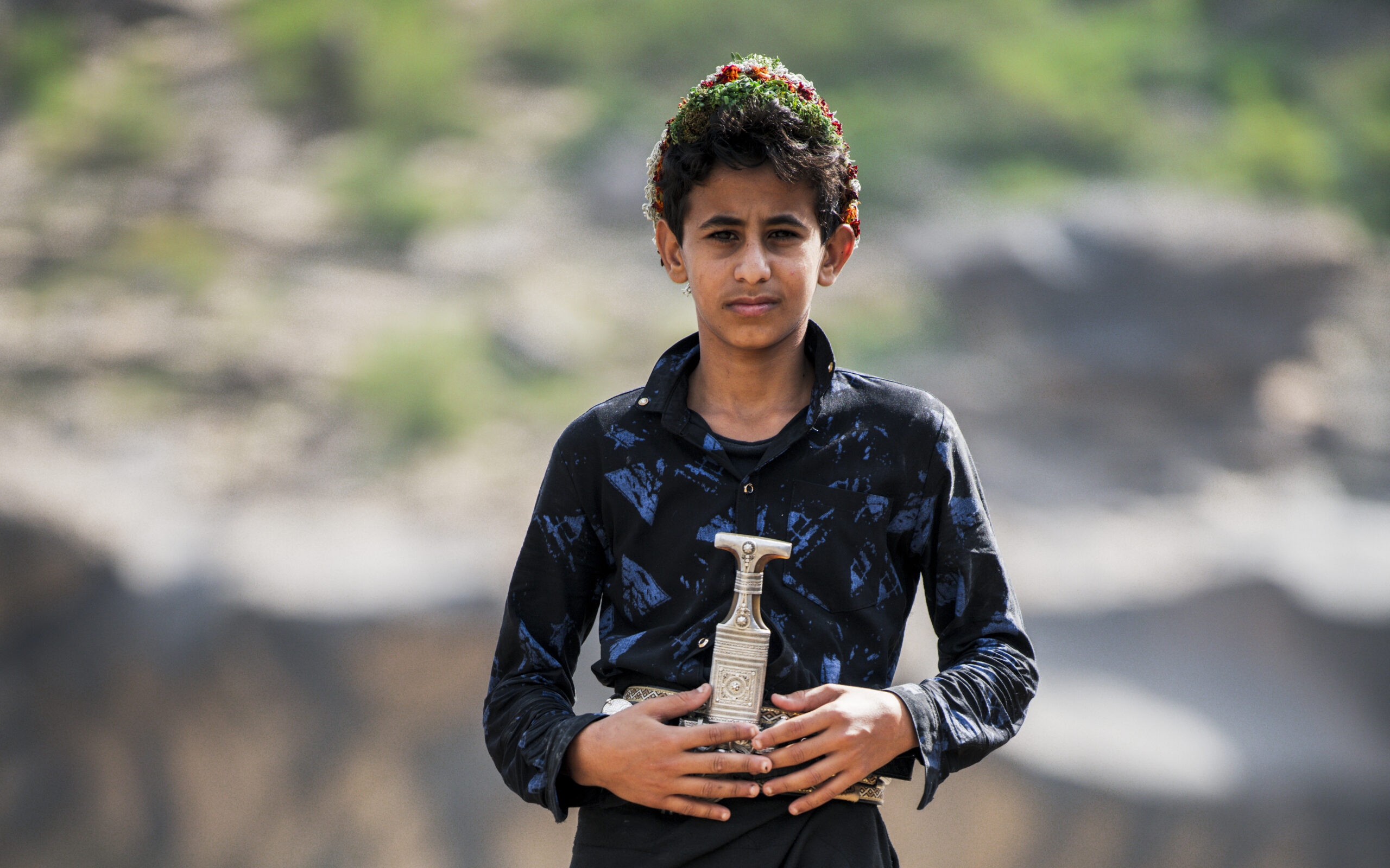
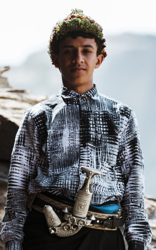
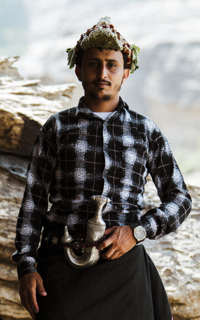
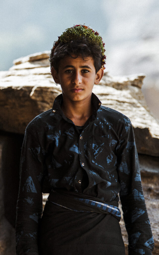
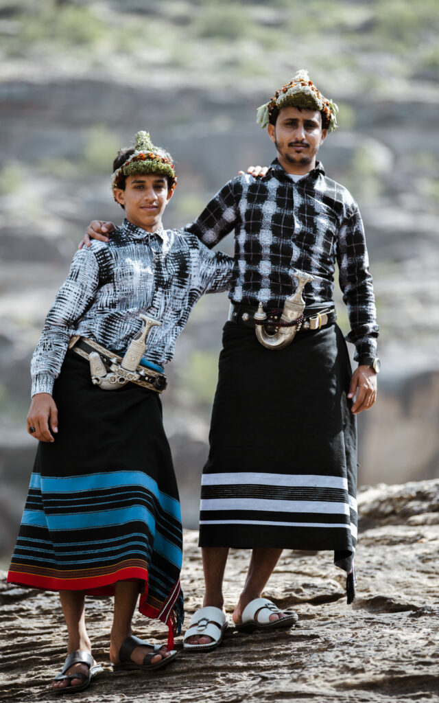
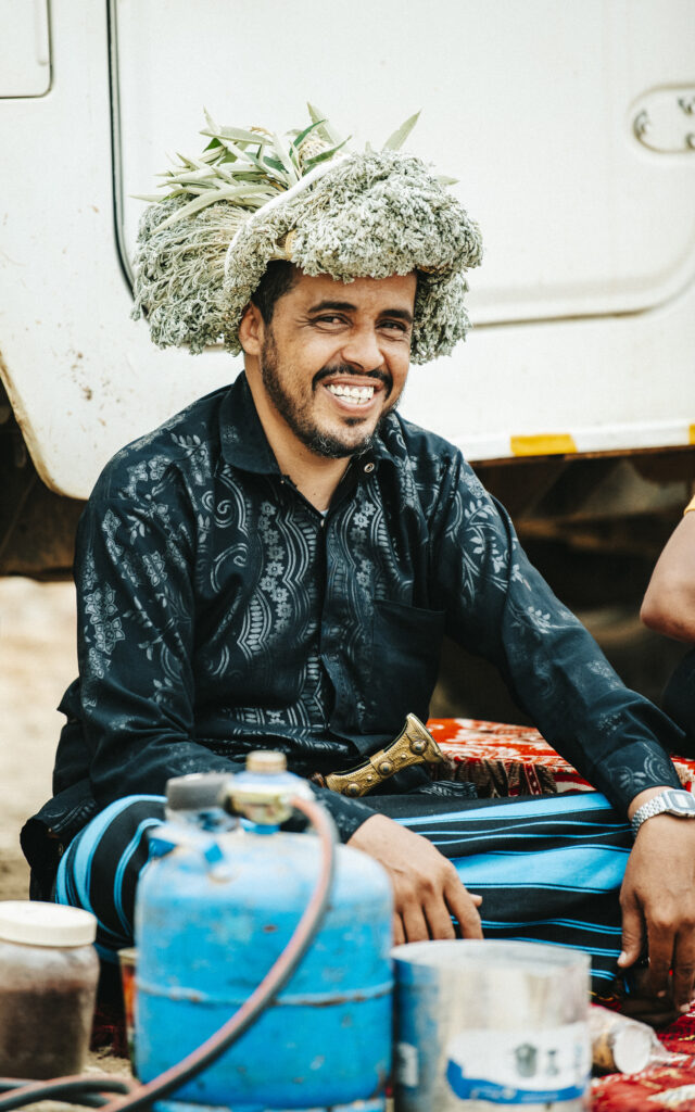
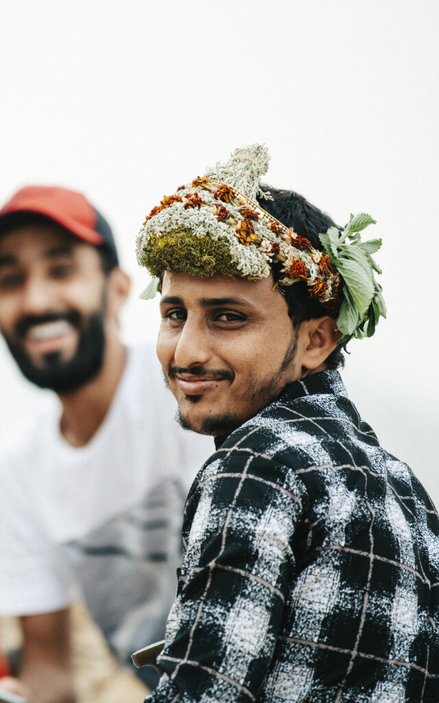
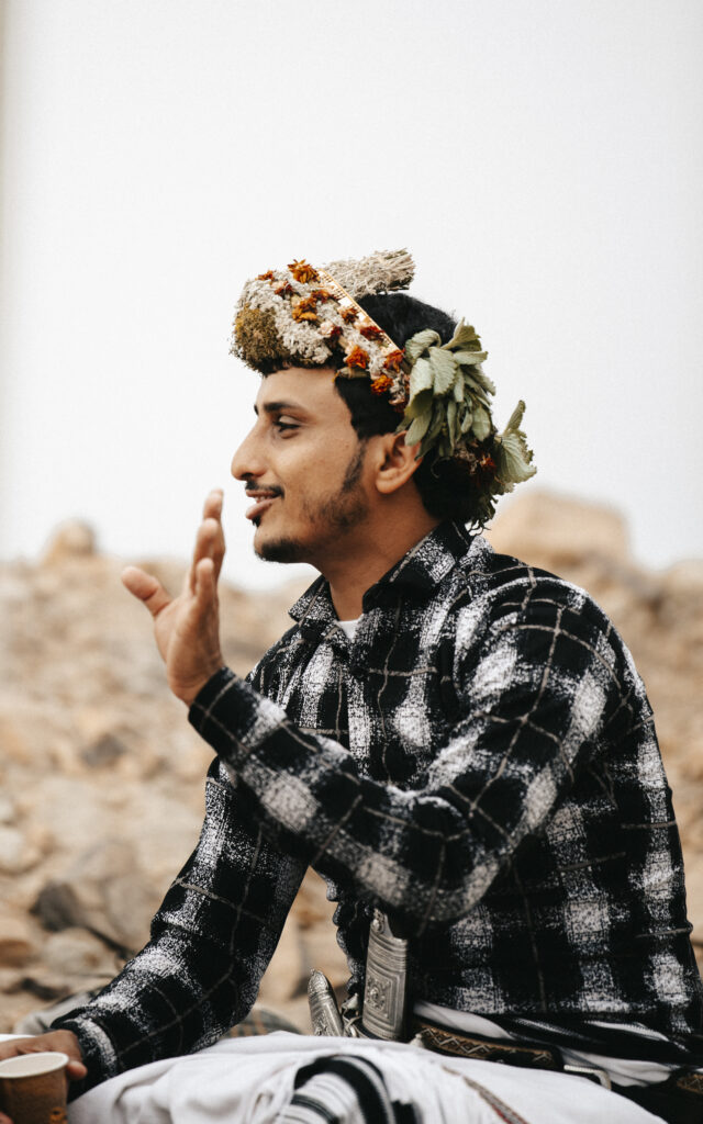
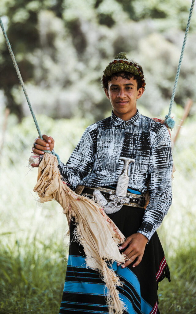
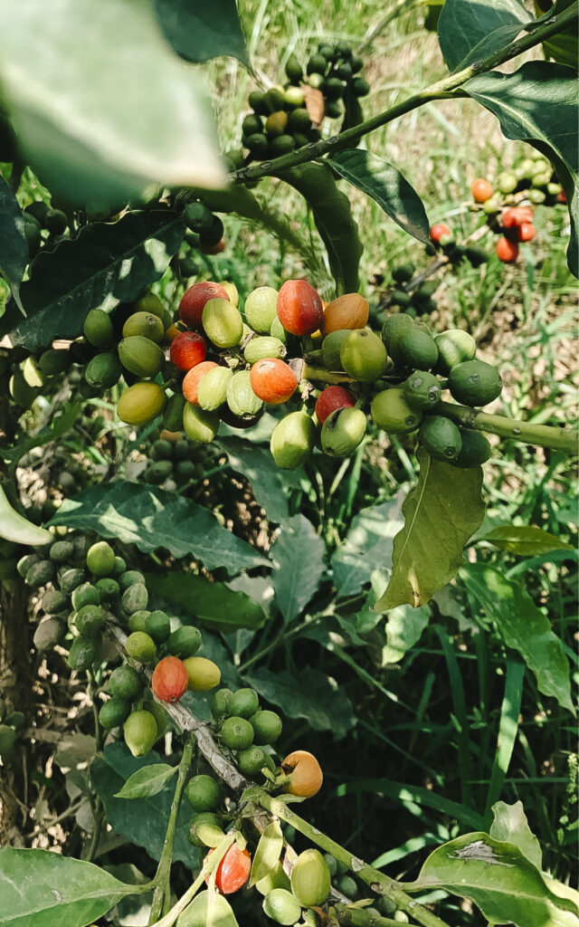
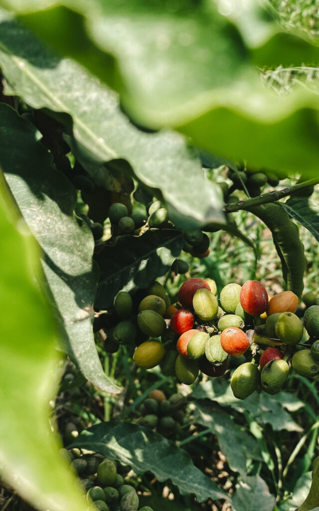
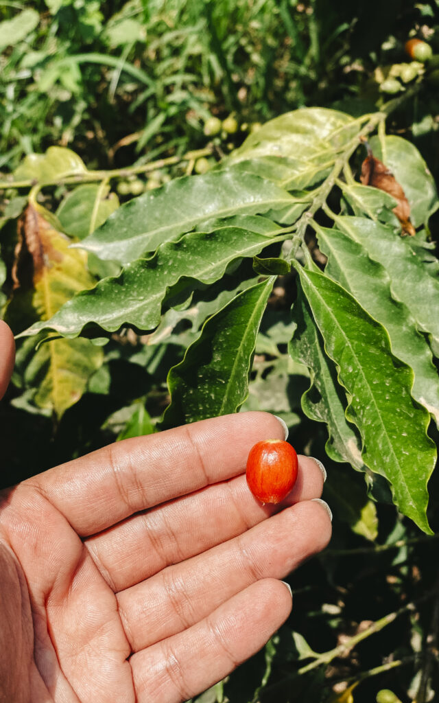
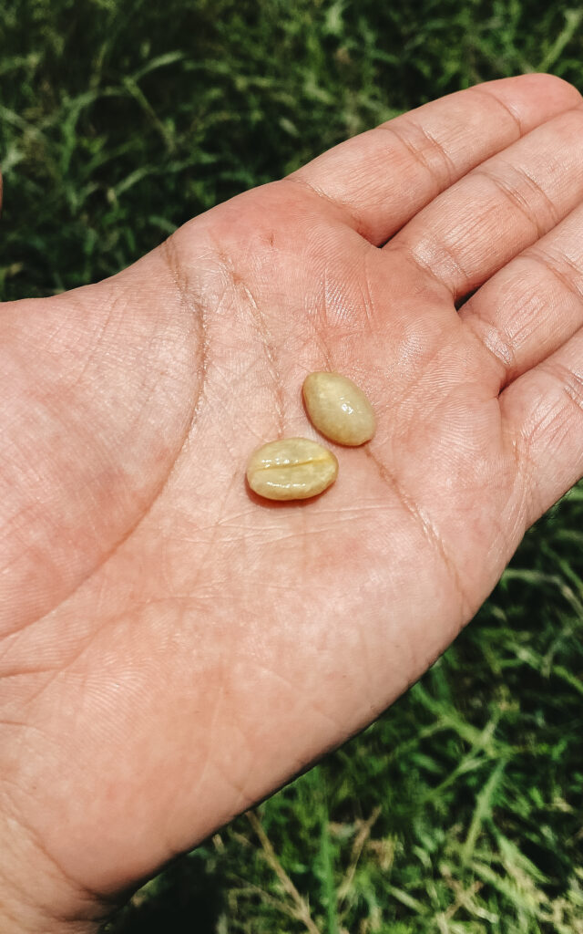
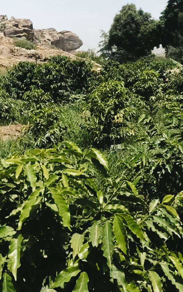
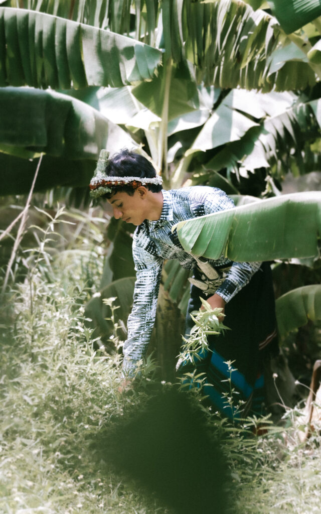
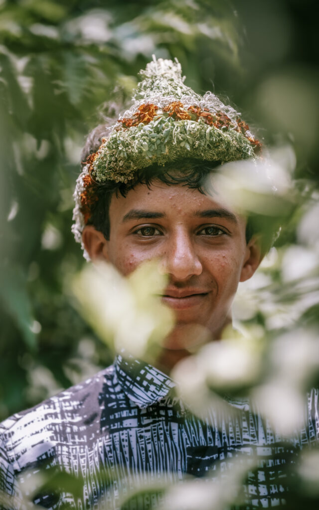
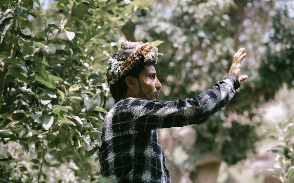
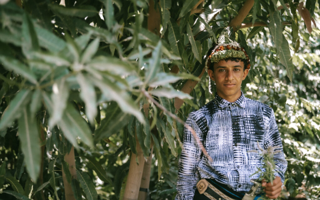
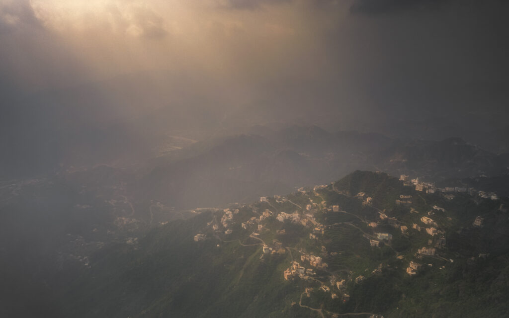
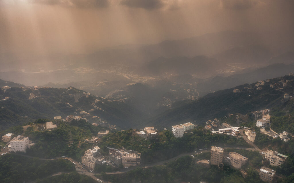
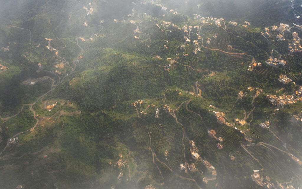
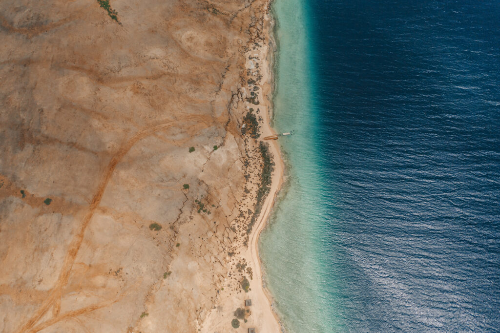
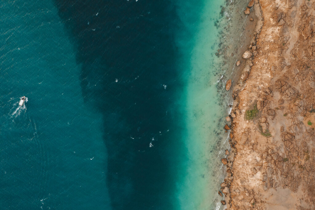
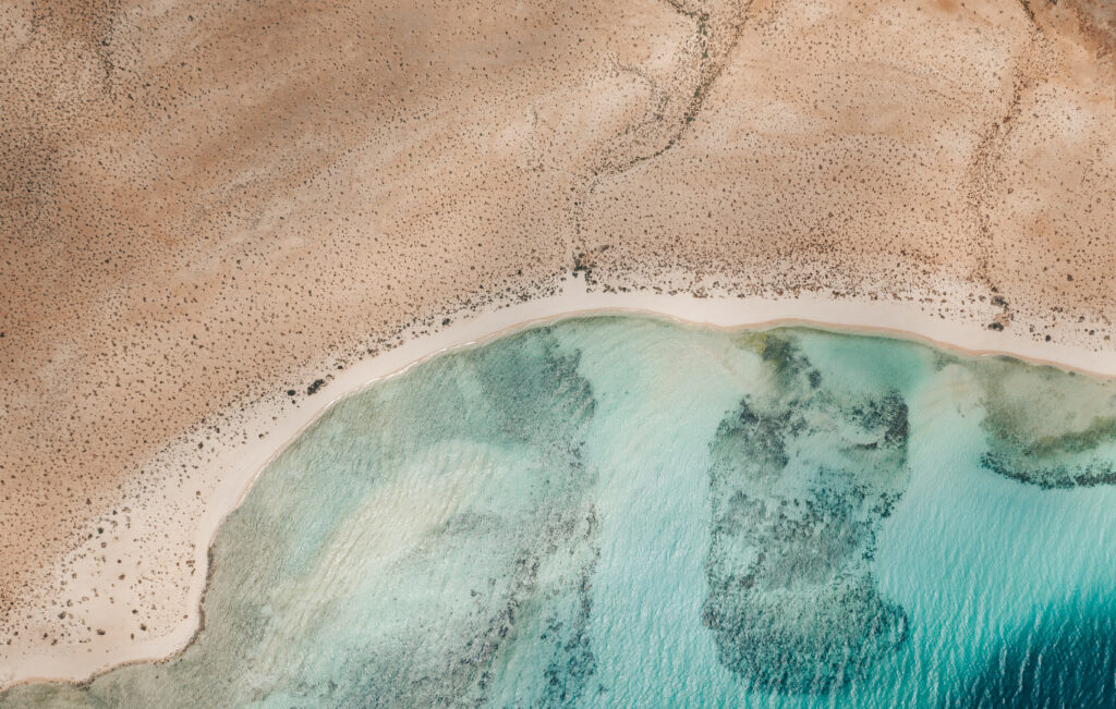
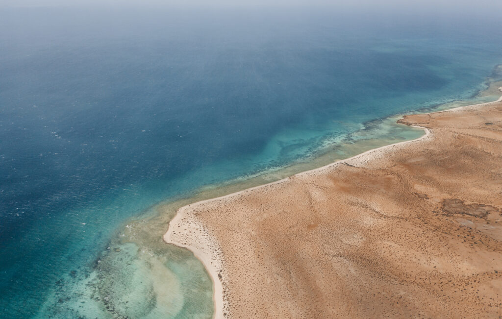
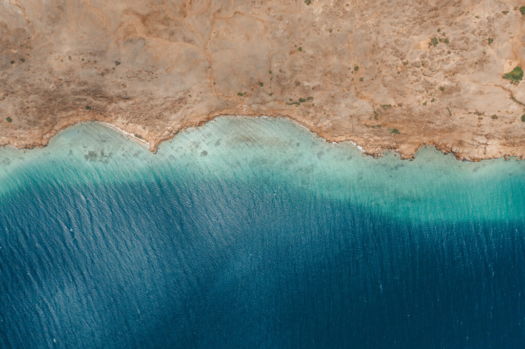
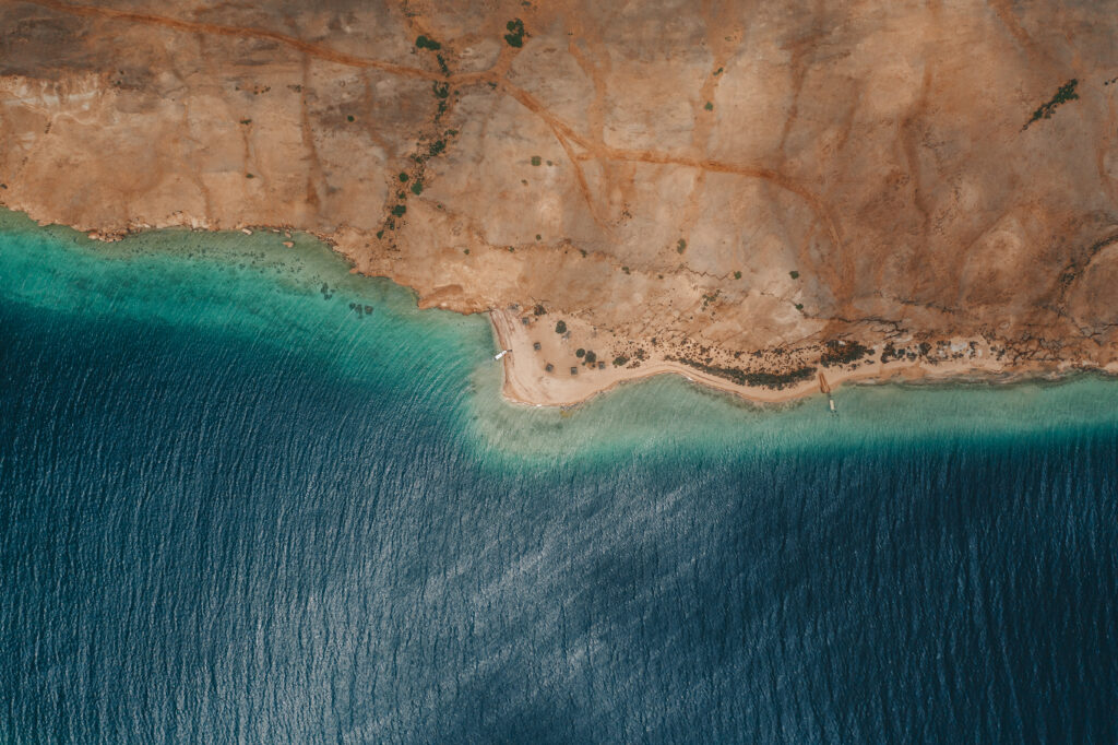
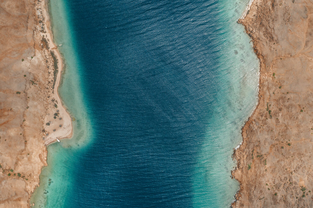
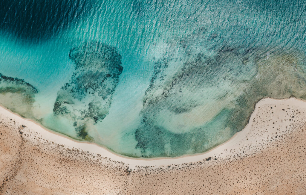
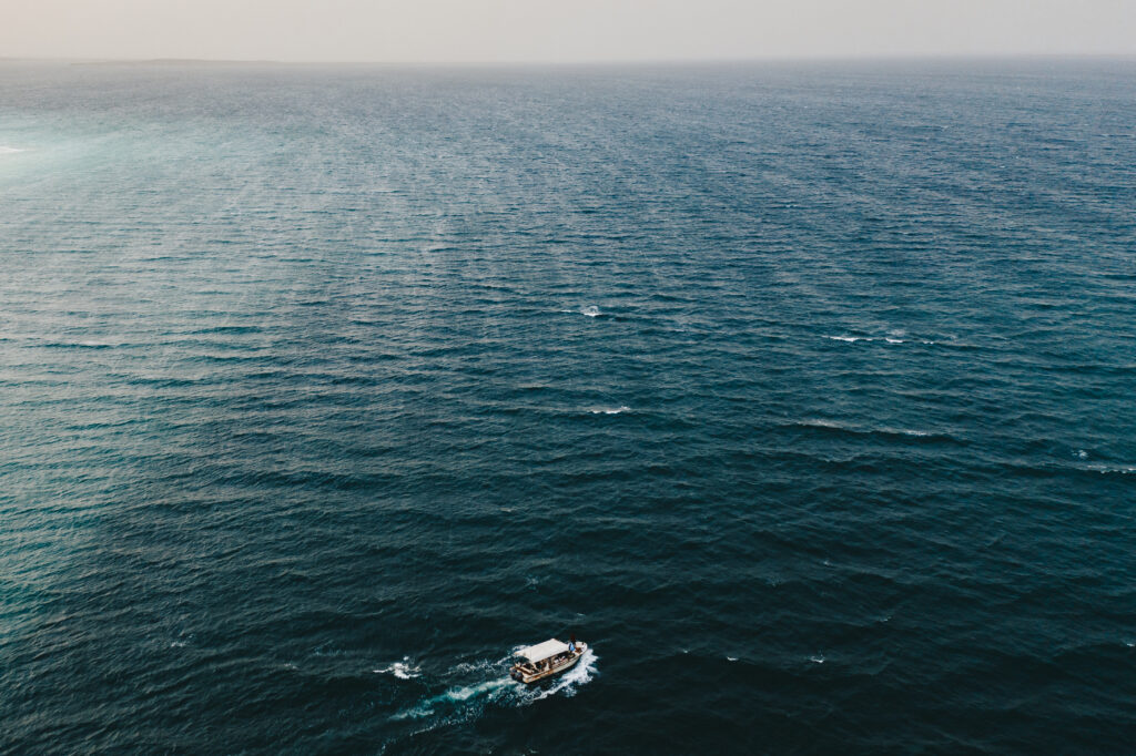
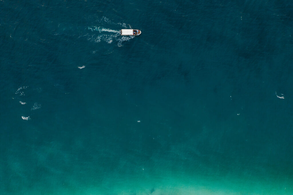
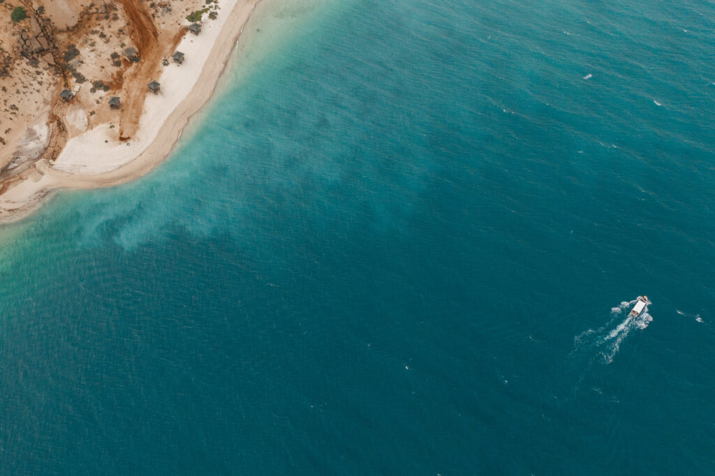
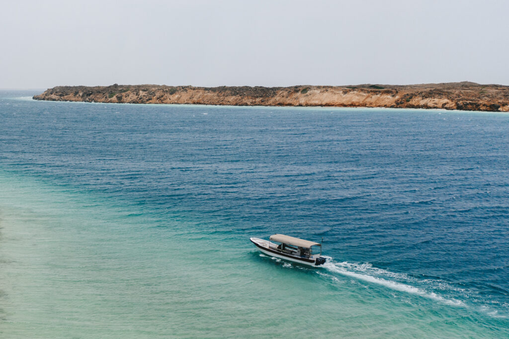
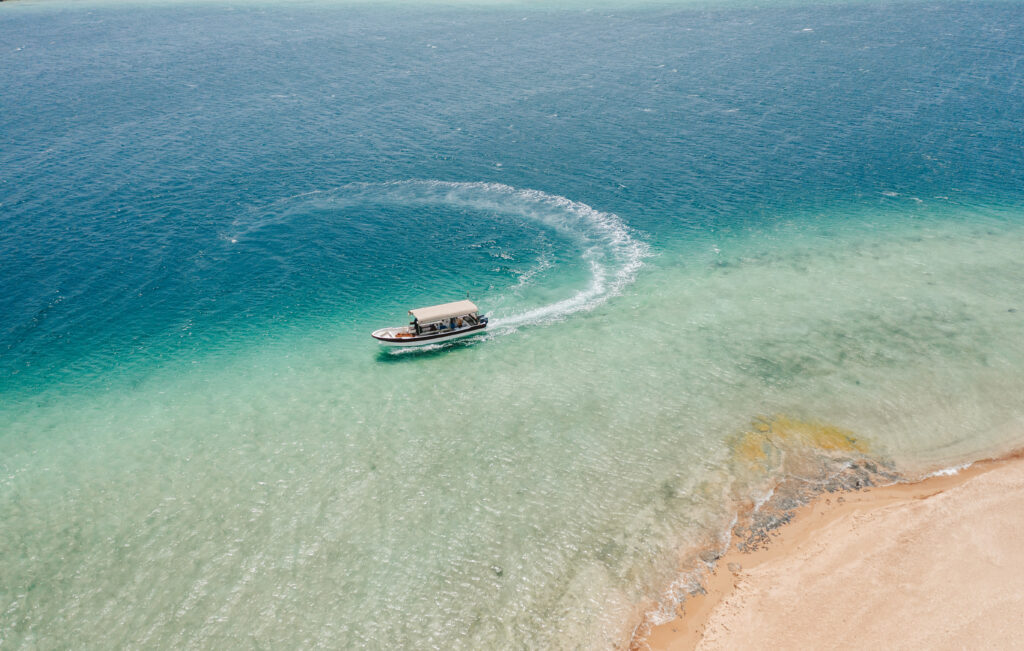
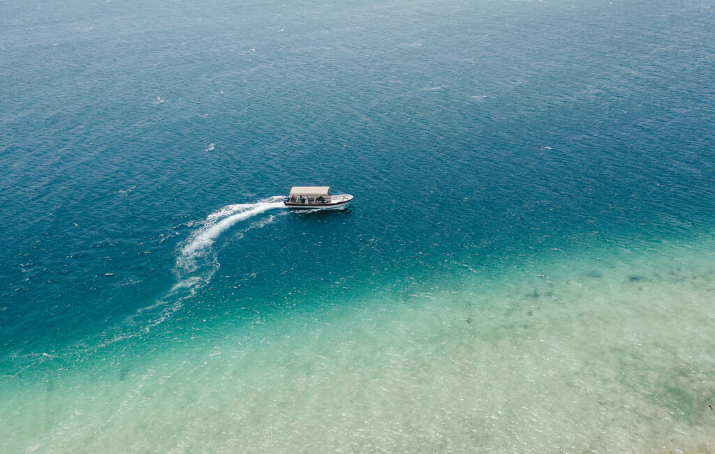
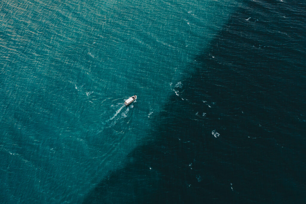
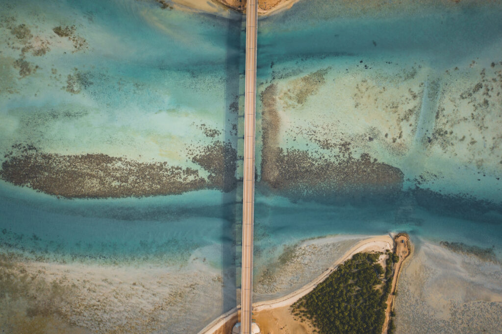
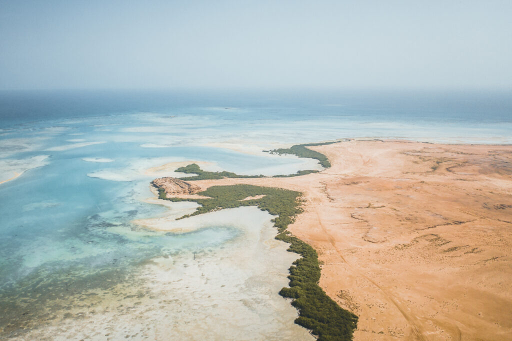
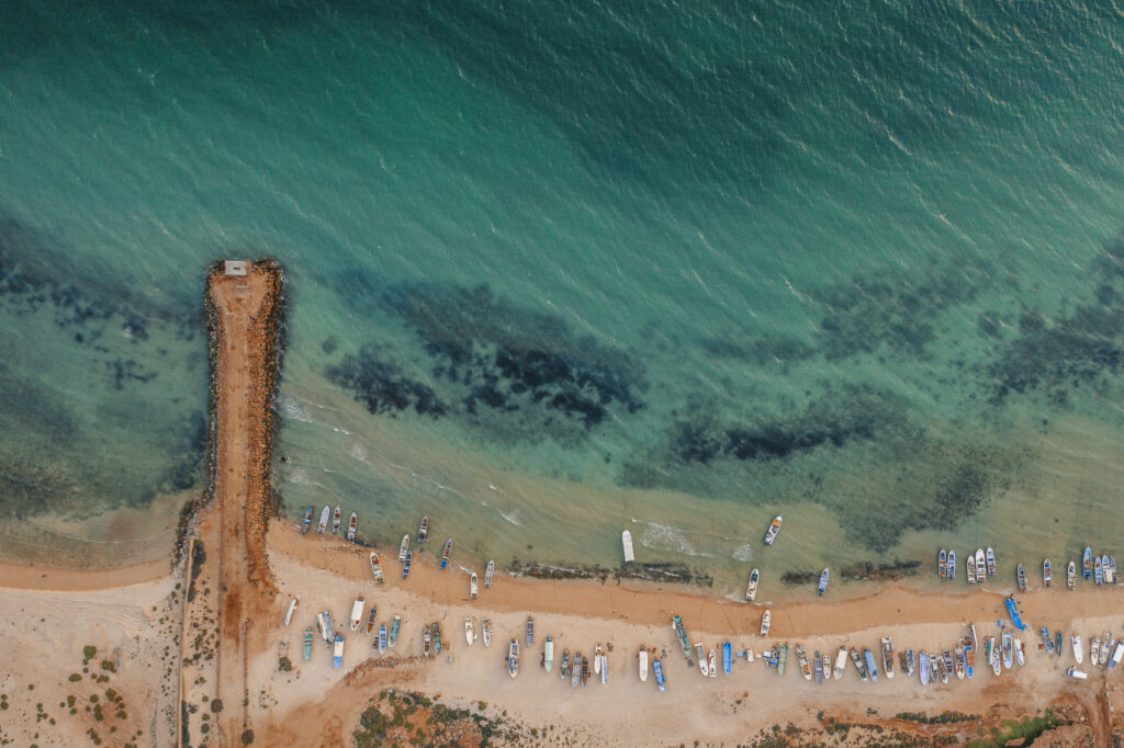
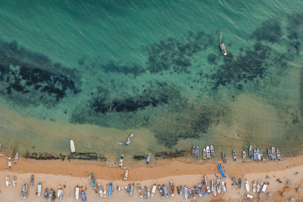
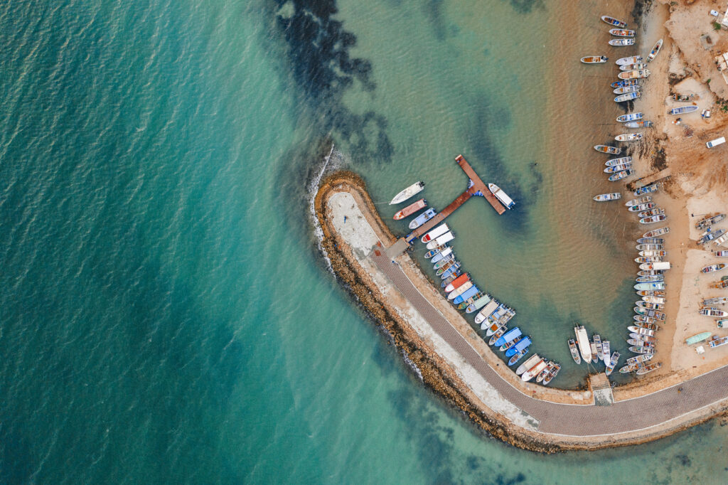
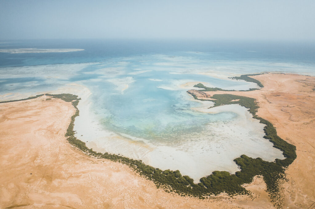
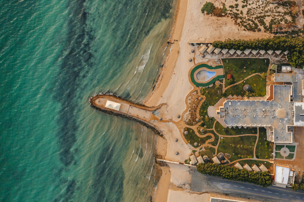
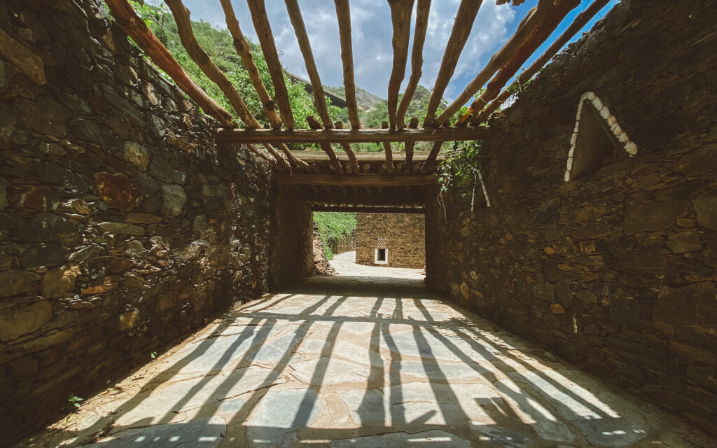
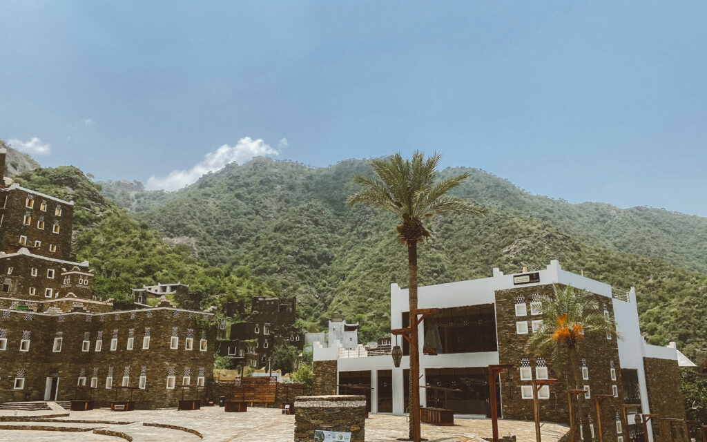
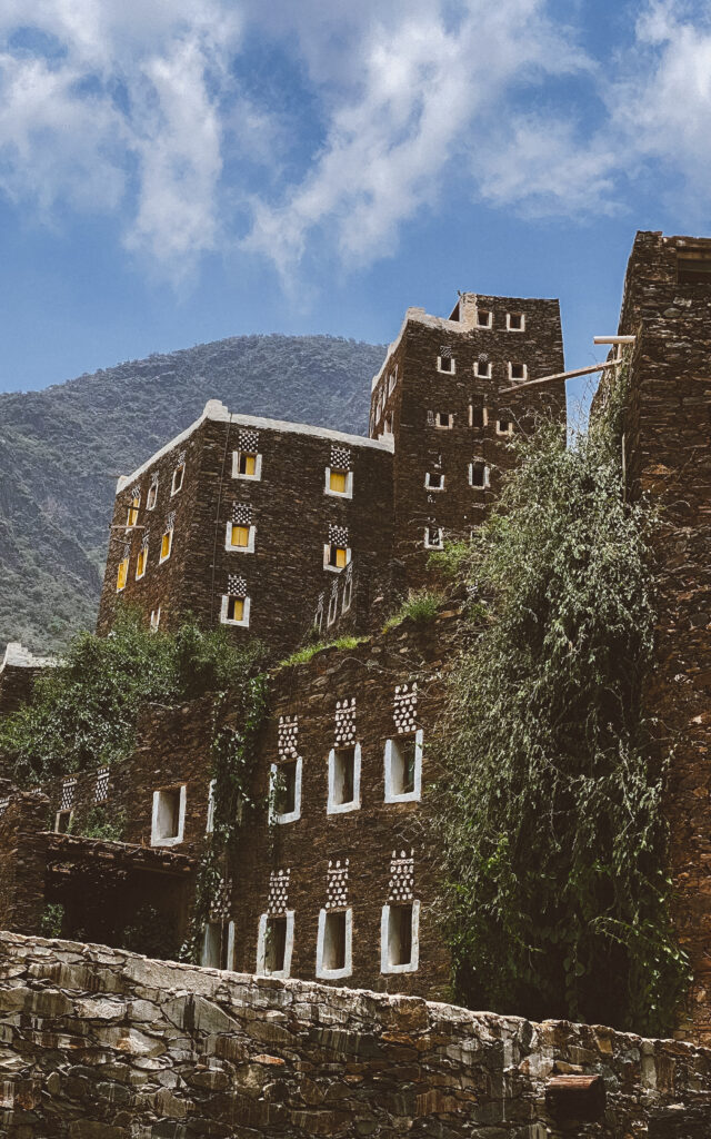
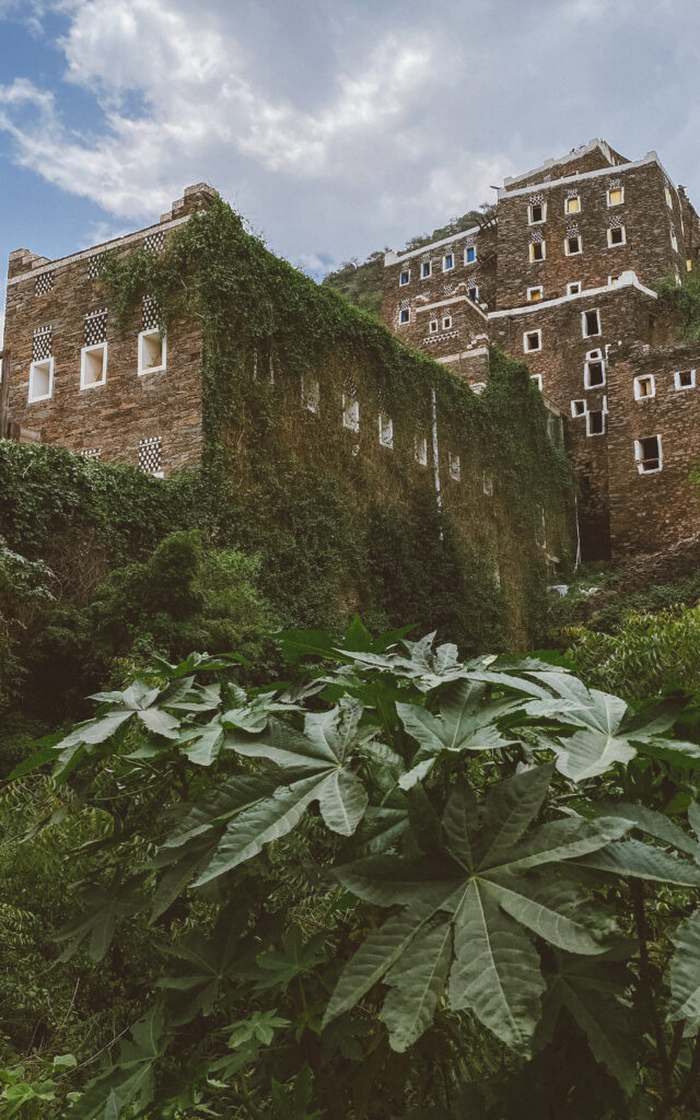
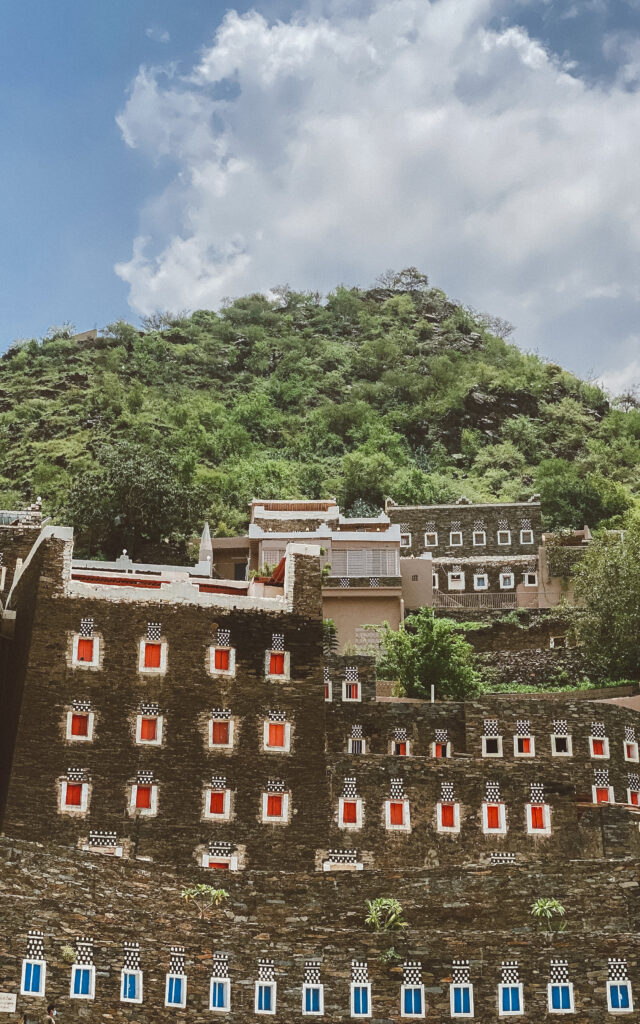
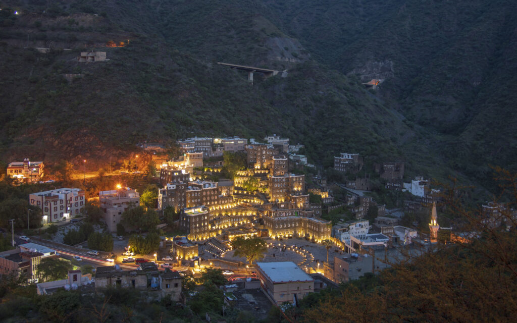
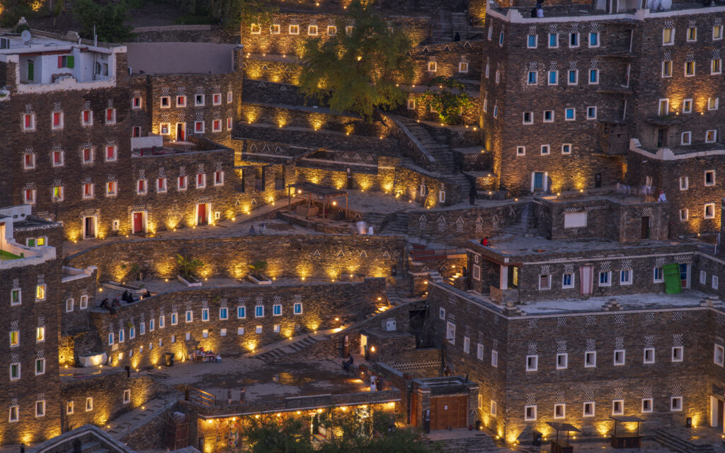
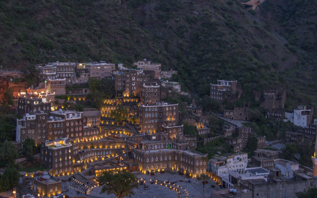
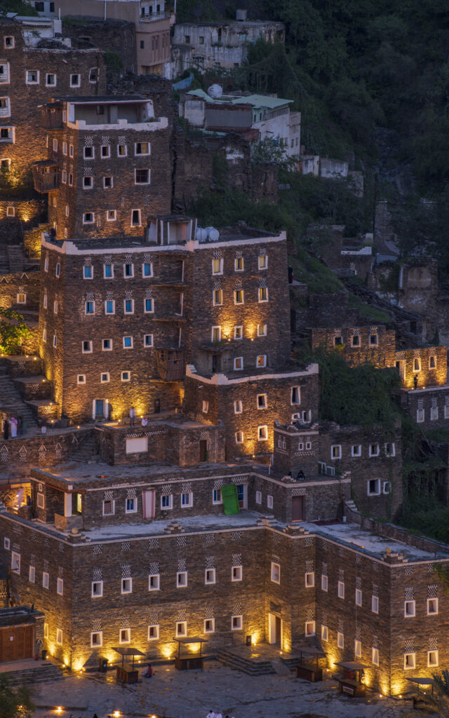
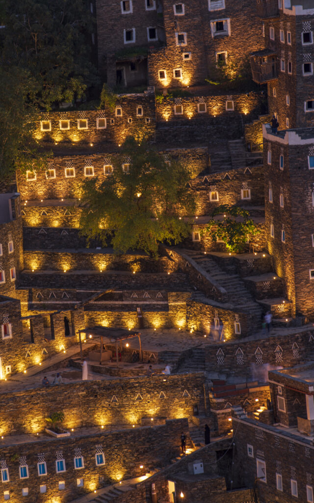
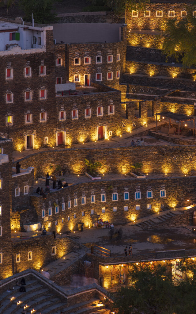
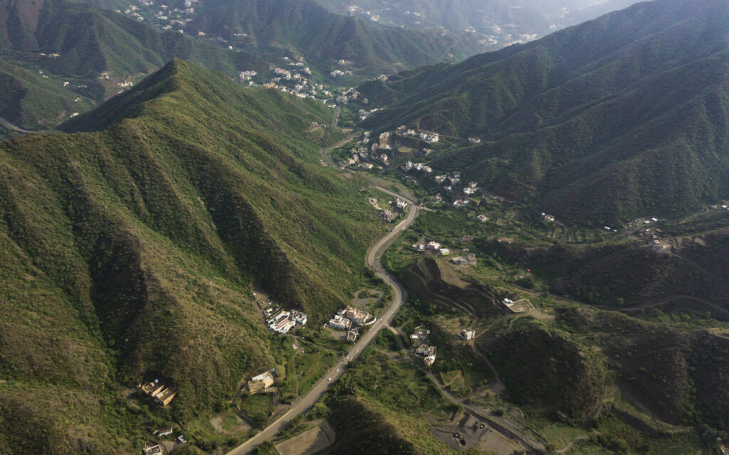
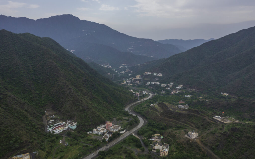
After Saudi Arabia reduced some local laws regarding Coronavirus, we had the opportunity to go out for some time. I have always heard about the charm of nature on the southern side of Saudi Arabia, from mountains, green meadows, waterfalls, and beaches. So we took a short trip to explore these locations, as it was my first trip to explore Saudi Arabia. Luckily the weather was perfect due to the presence of low clouds in some areas. 

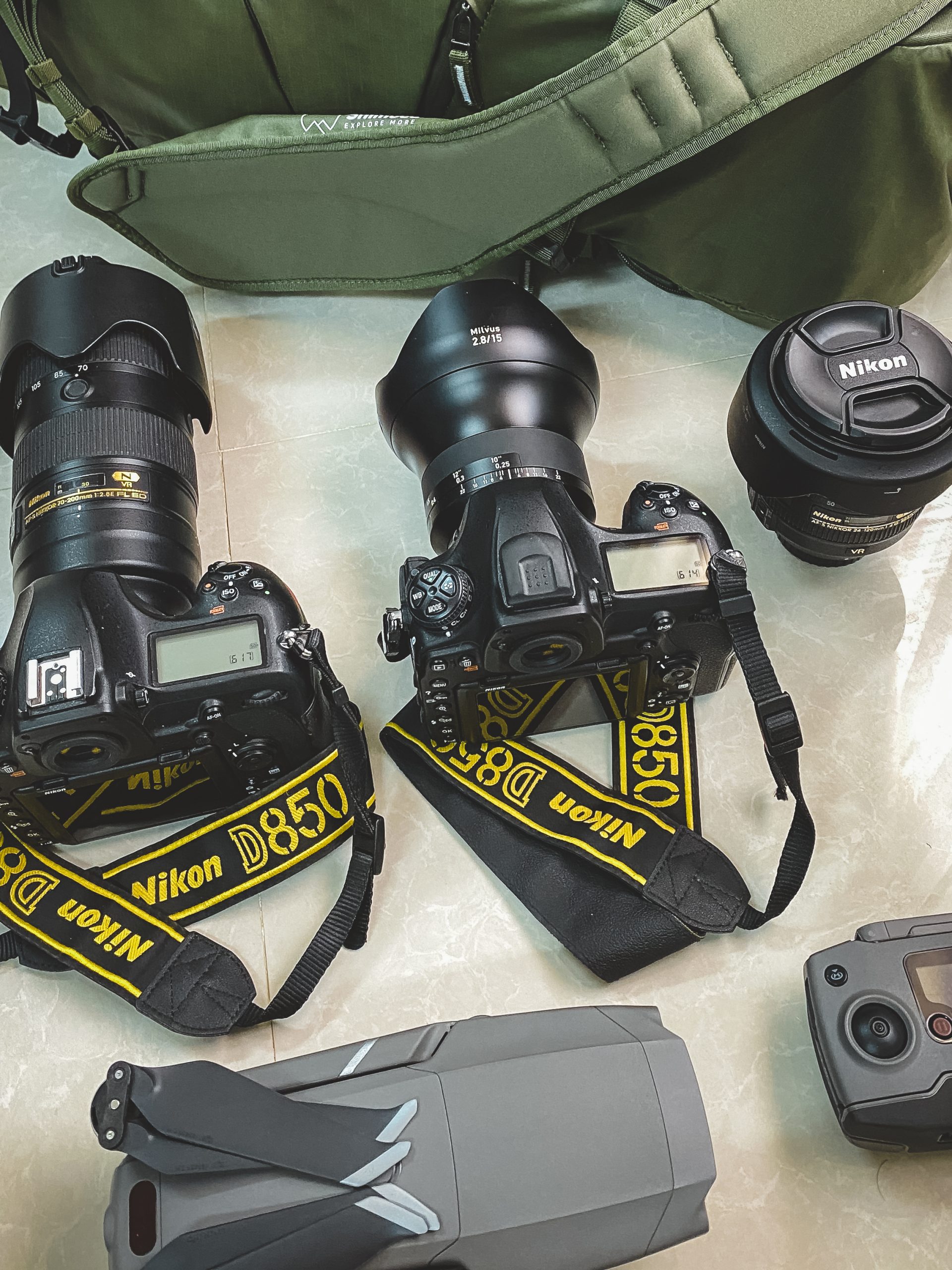
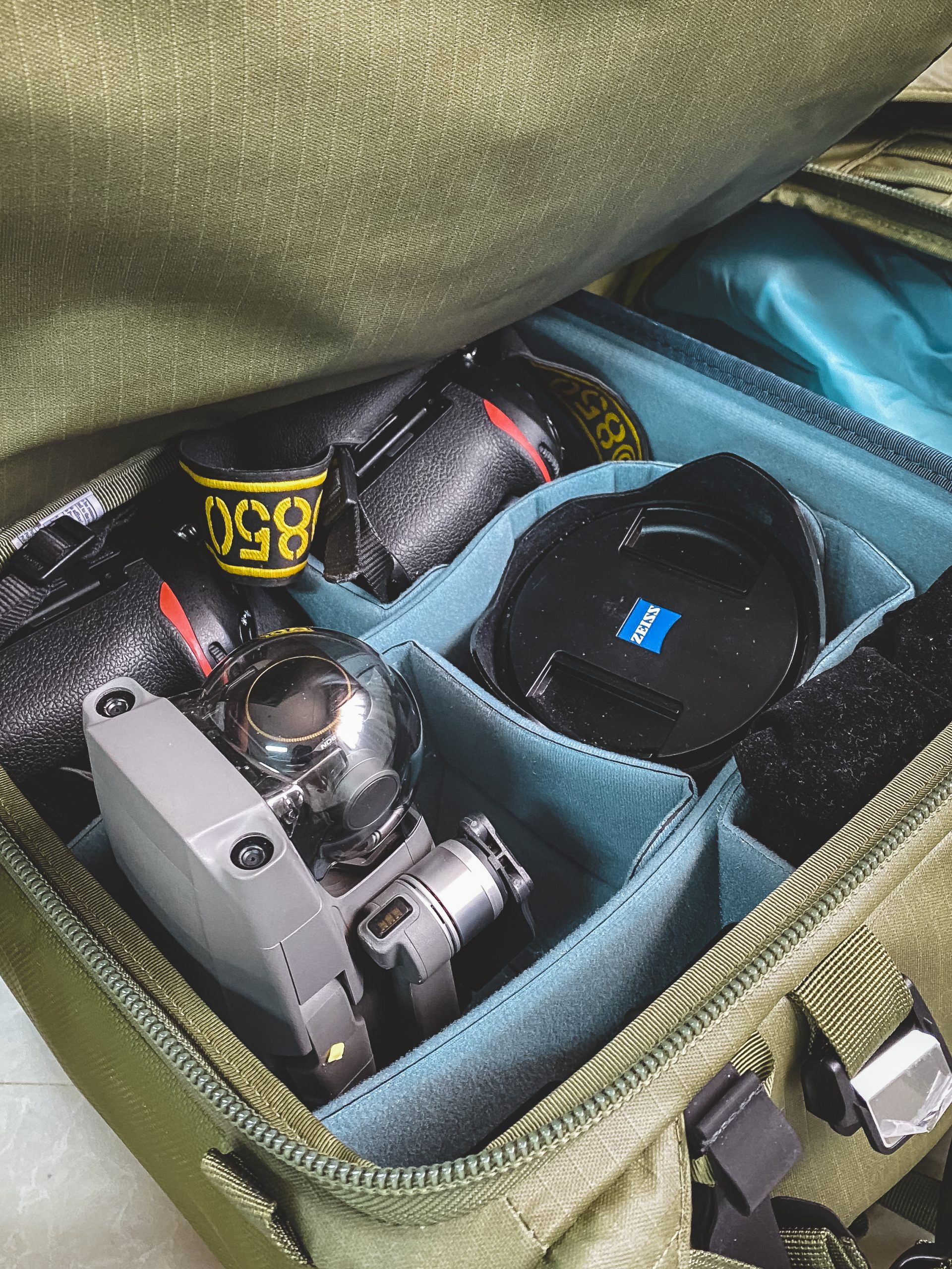
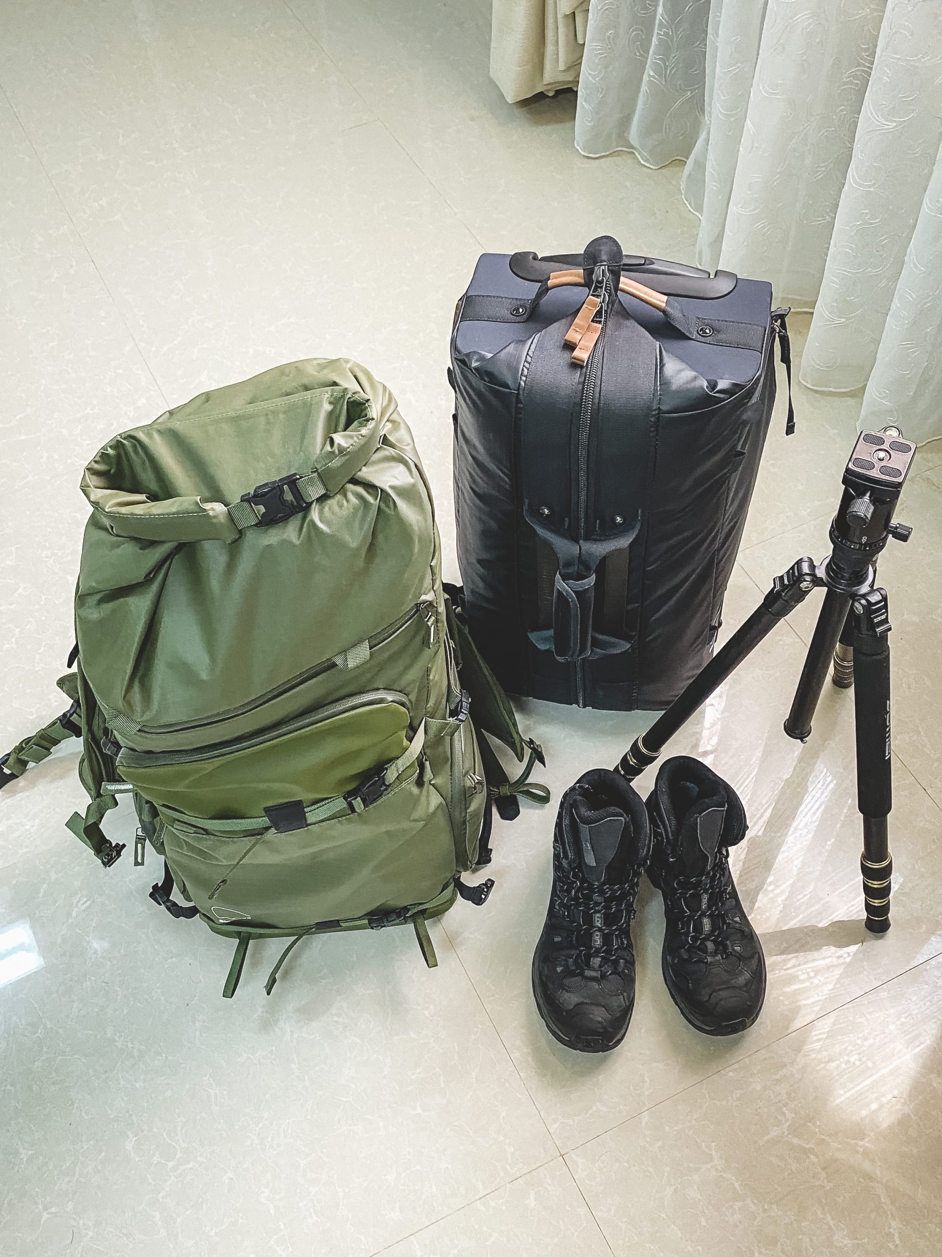
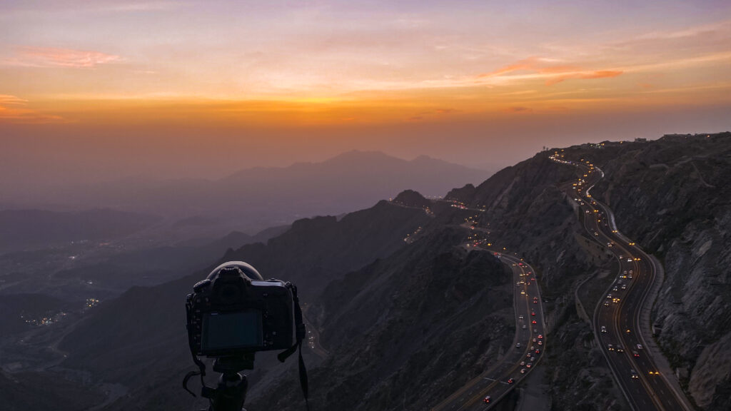
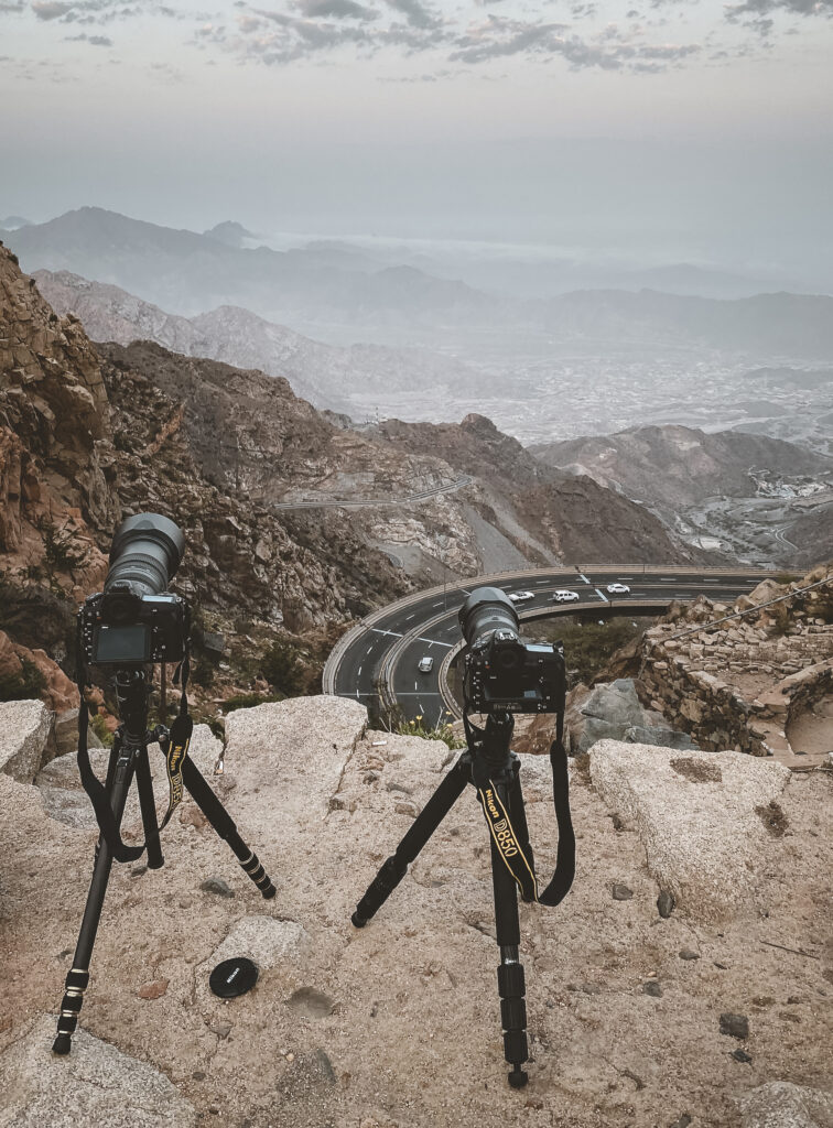
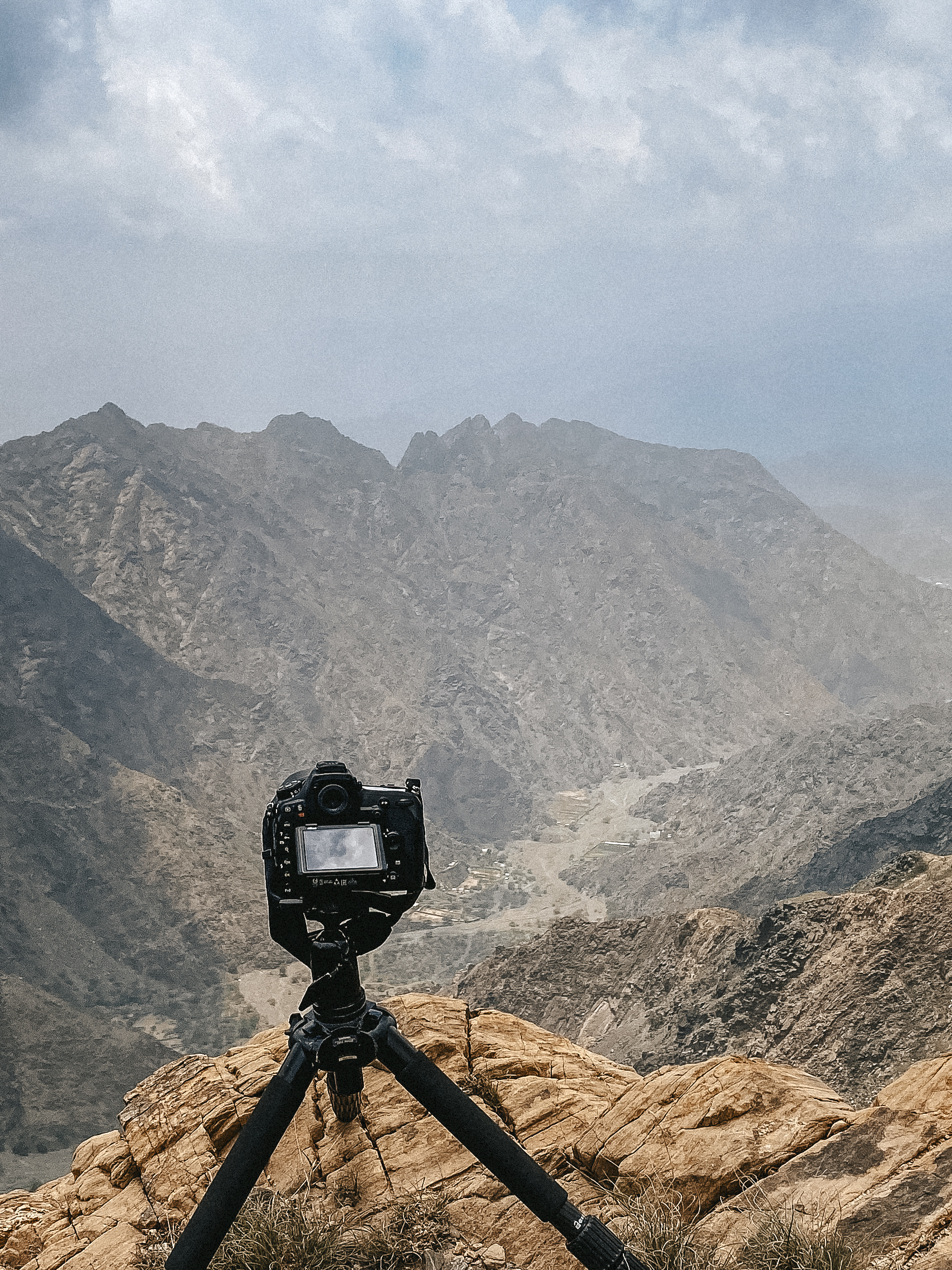
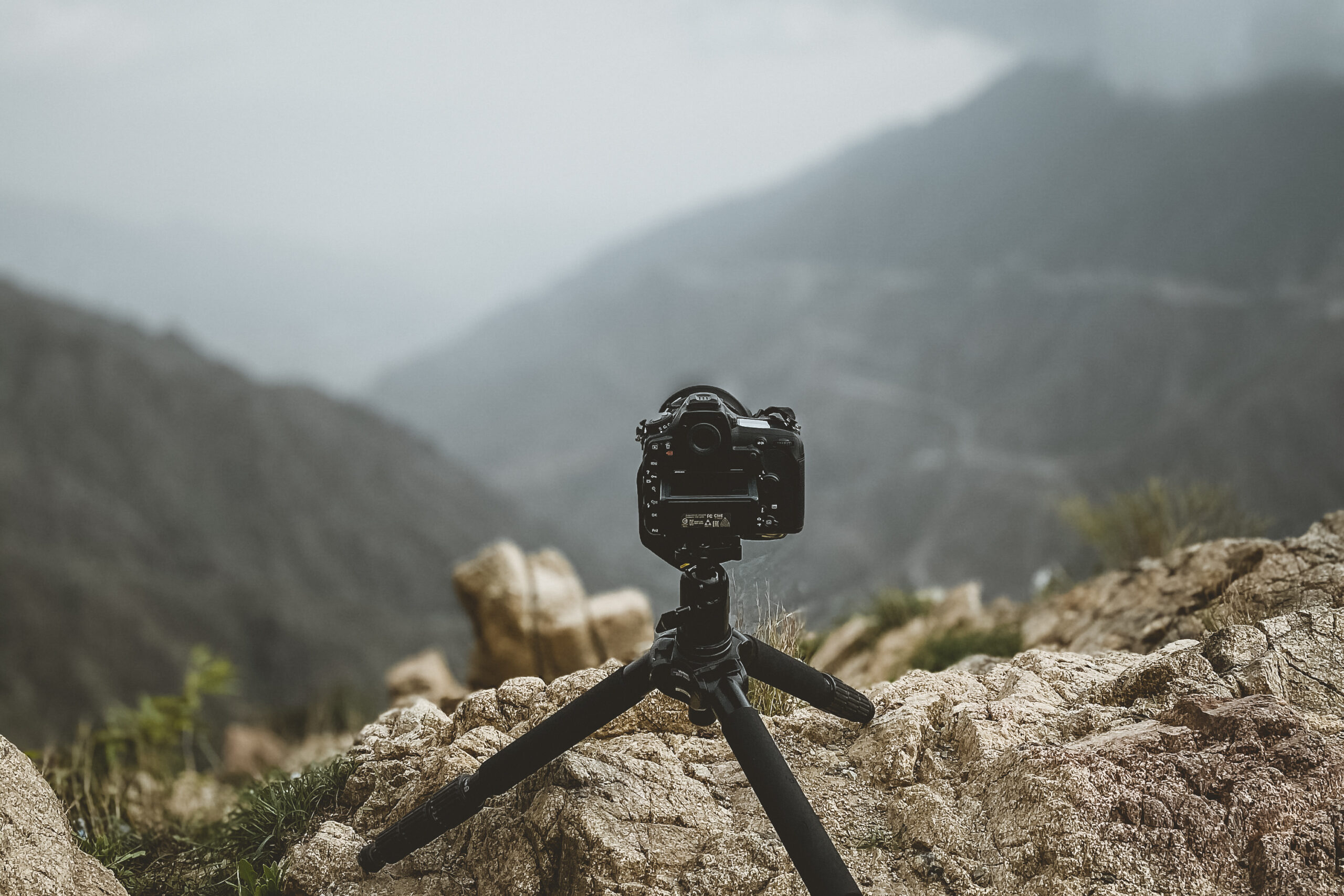
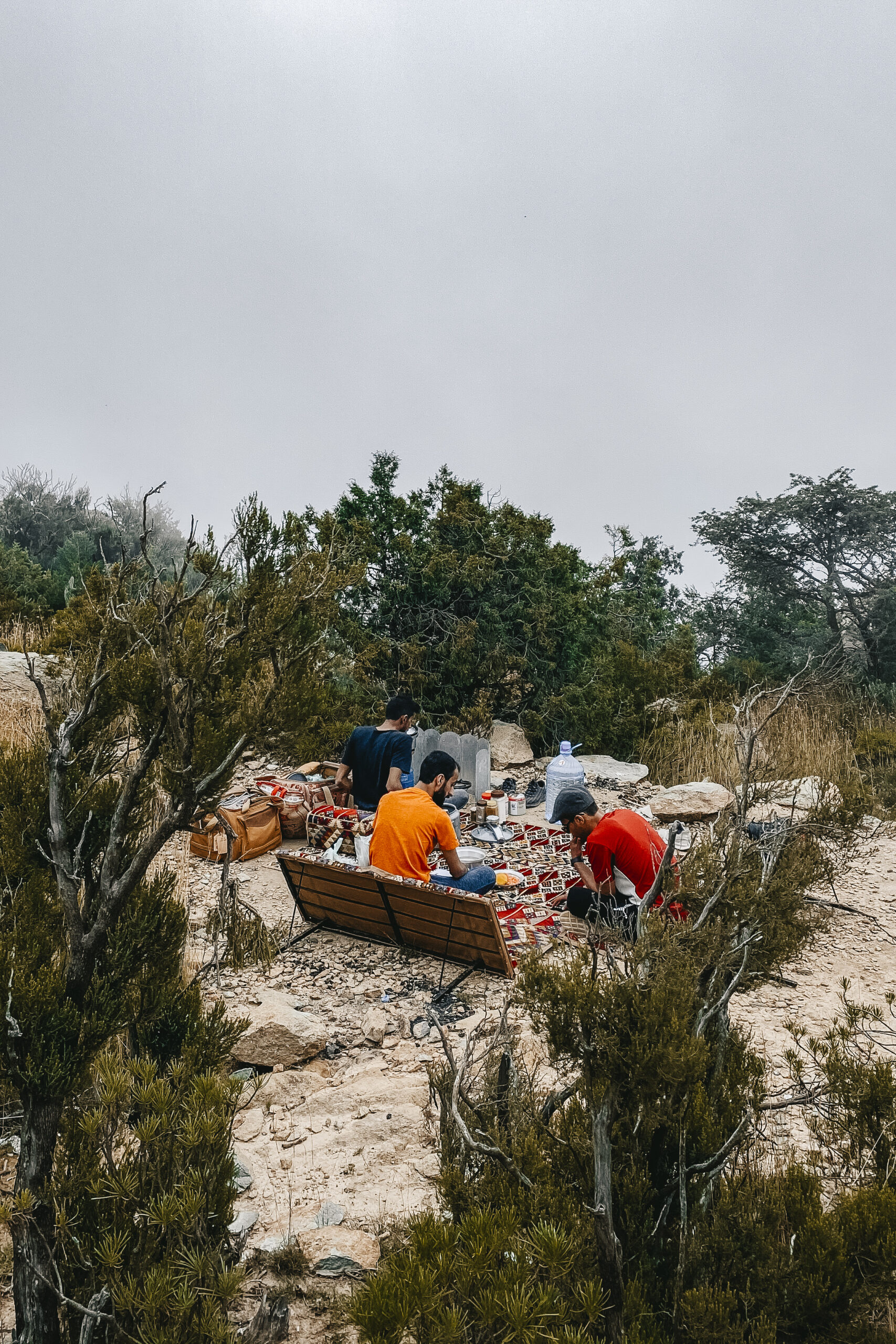
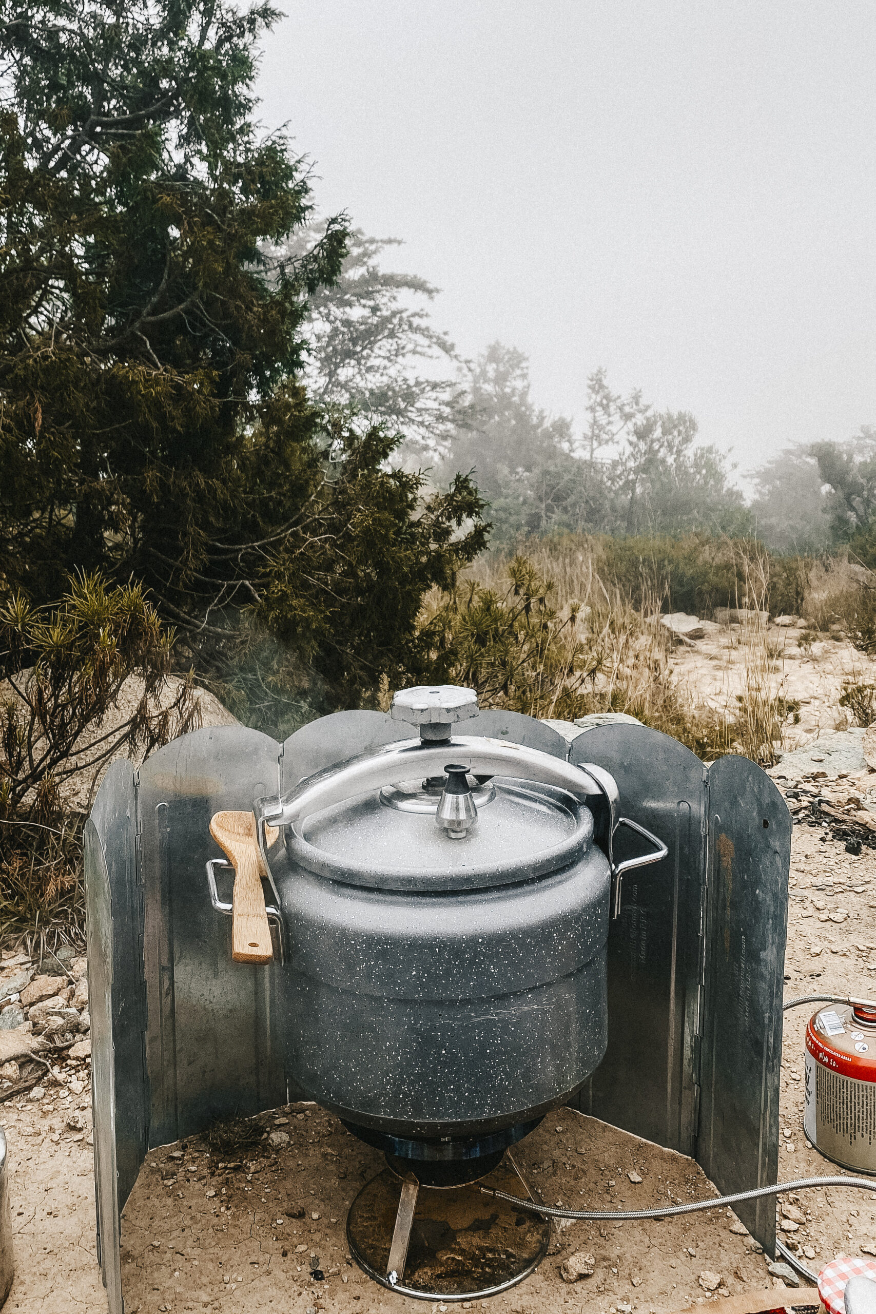
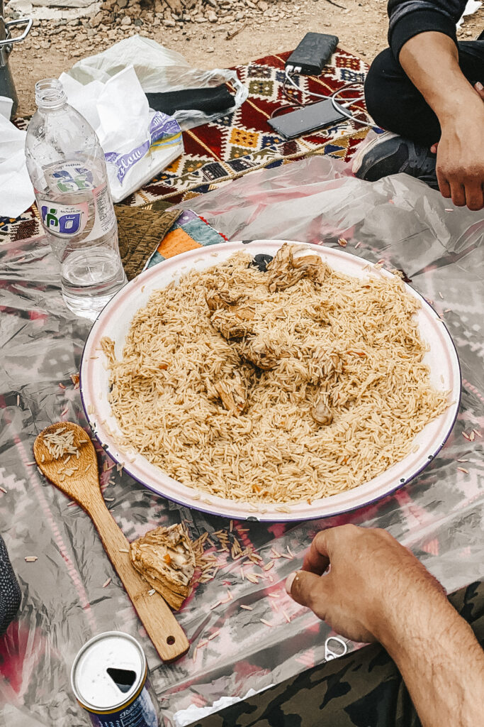
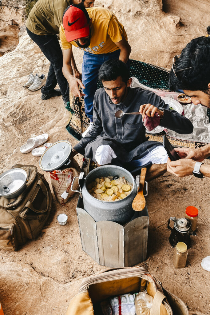
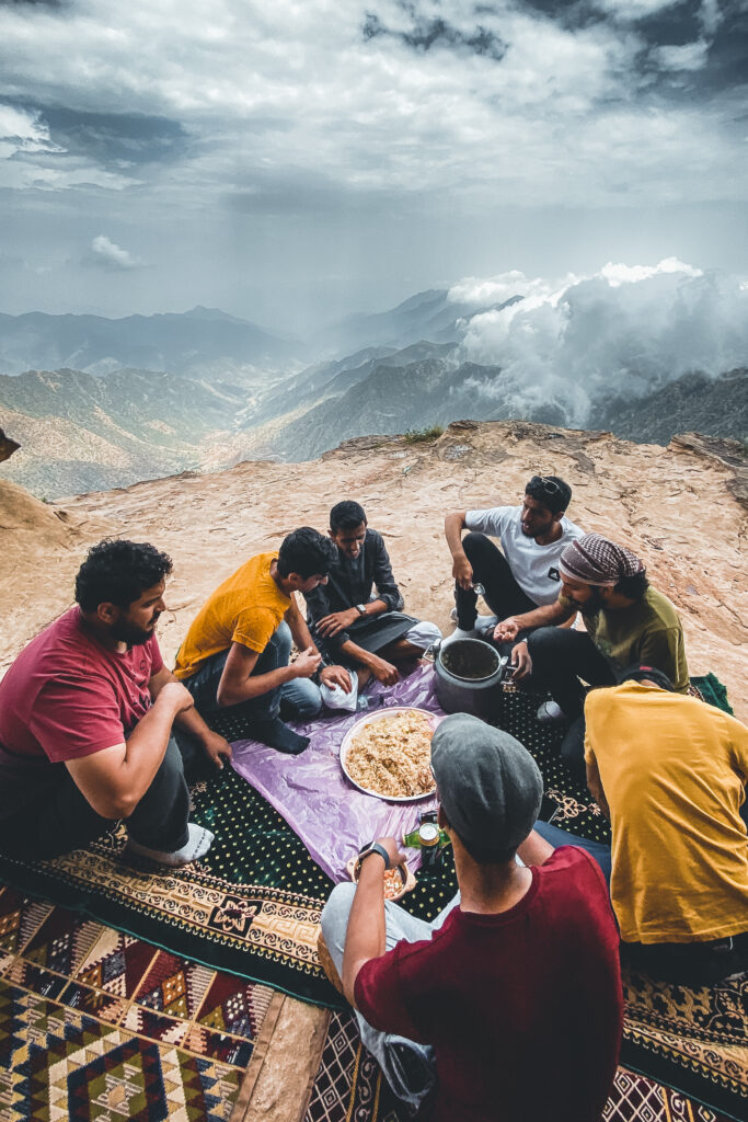
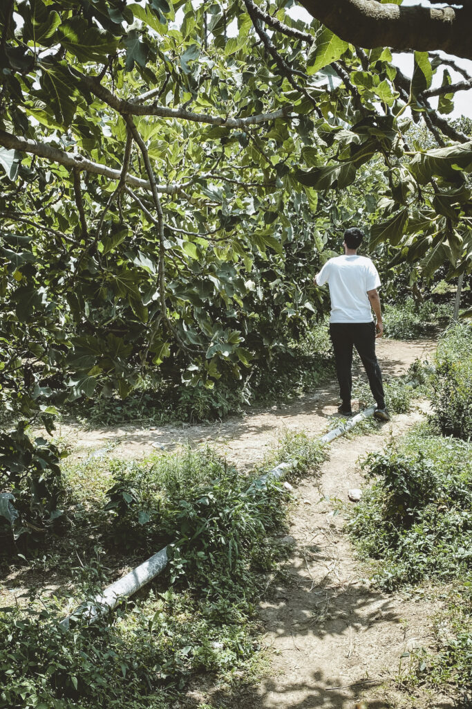
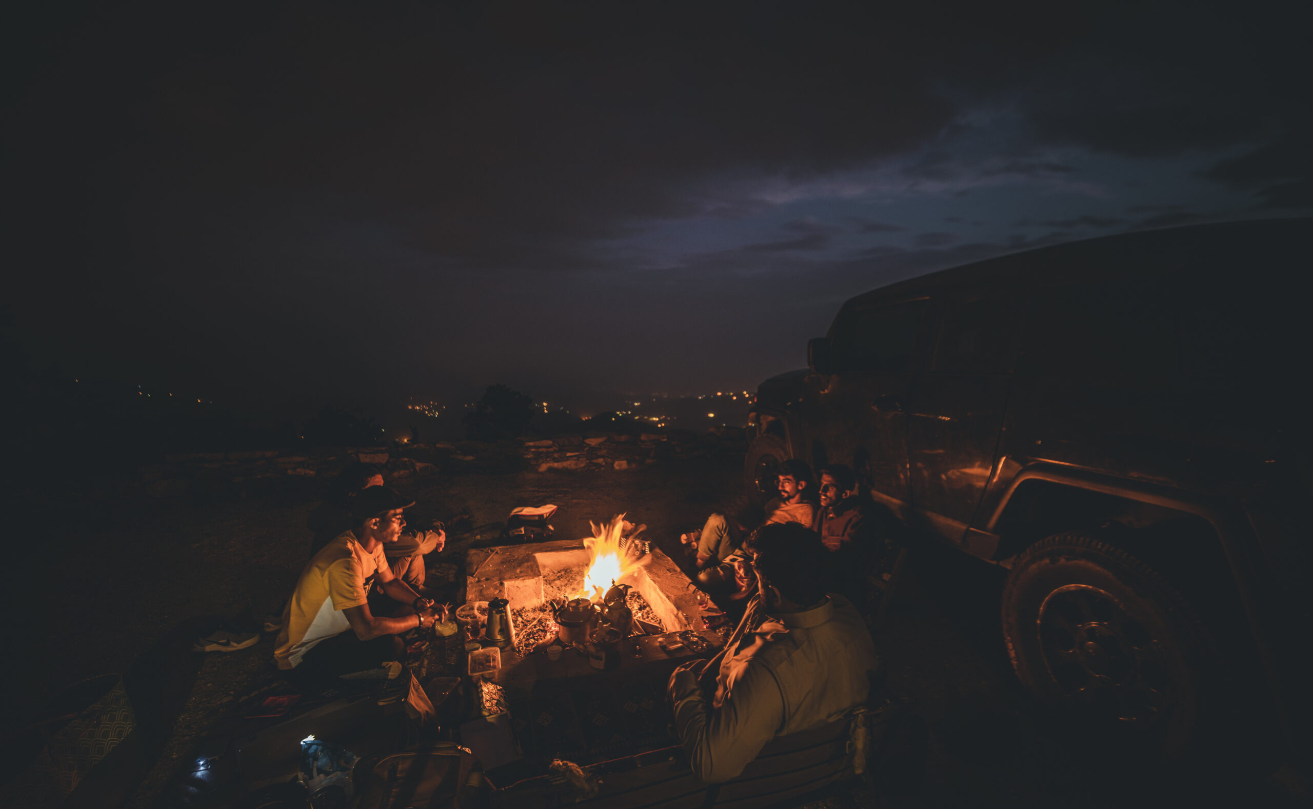
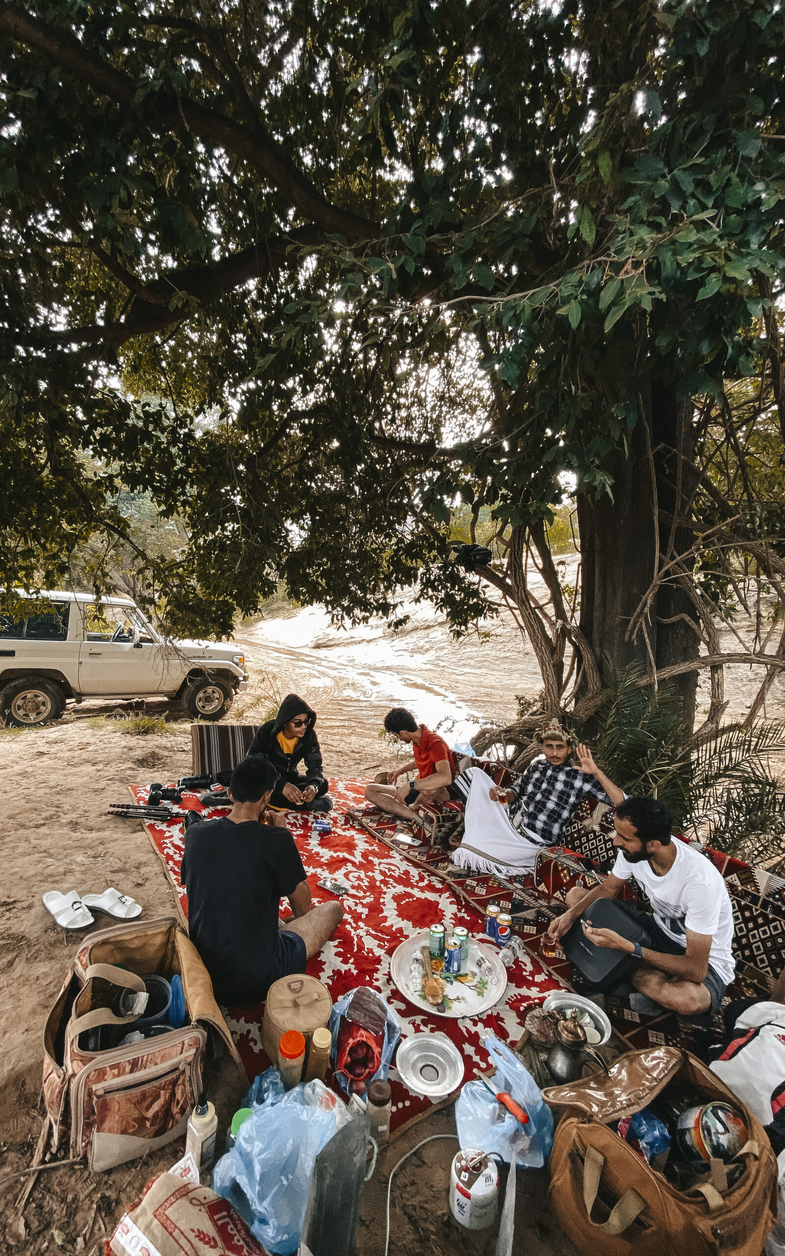
Part of my gear preparation

في عام 2020 ، كانت لدي خطة في السفر إلى بعض دول شرق آسيا. لكن انتشرت جائحة COVID-19 في جميع أنحاء العالم، ودخلت معظم البلدان بما في ذلك المملكة العربية السعودية في حالة إغلاق تام. كانت الأشهر الأولى صعبة للغاية، لذلك أمضيتها في تطوير الموقع الخاص بي.

بعد أن خفضت المملكة العربية السعودية بعض القوانين المحلية المتعلقة بفيروس كورونا، أتيحت لنا الفرصة للخروج لبعض الوقت. لطالما سمعت عن سحر الطبيعة في جنوب المملكة العربية السعودية، من الجبال والمروج الخضراء والشلالات والشواطئ. لذلك قمنا برحلة قصيرة لاستكشاف هذه المواقع، حيث كانت رحلتي الأولى لاستكشاف المملكة العربية السعودية. لحسن الحظ كان الطقس مثاليا بسبب وجود السحب المنخفضة في بعض المناطق.

The plan was to reach the highest point in southern Saudi Arabia. After more than seven hours, we reached Taif City, which was our first stop. Taif is home to magnificent mountains, flower fields, and hundreds of years of ancient markets. Also, it has the famous road of Al-Hada, which is an engineering masterpiece that connects Taif with Makkah. After a long search for a place to sleep, we found this place that It overlooks directly Al Hada Road.

Here are some pictures of the sunset.

كانت الخطة هي الوصول إلى أعلى نقطة في جنوب المملكة العربية السعودية. بعد أكثر من سبع ساعات، وصلنا إلى مدينة الطائف وكانت محطتنا الأولى. الطائف موطن للجبال الهدا الشهيره  وهو تحفة هندسية تربط الطائف بمكة. بعد بحث طويل عن مكان للنوم وجدنا هذا المكان الذي يطل مباشرة على طريق الهدا.

إليكم بعض الصور لغروب الشمس.

Two photos of our camp spot during a full moon night. 

صورتان لموقعنا الاول يظهر اكتمال قمر تلك الليلة

The next morning, we woke up early for the sunrise shot, and we prepared our cameras for the sunrise.  

في صباح اليوم التالي ، استيقظنا مبكرًا لالتقاط صورة شروق الشمس

the low clouds were covering most of the mountain peaks. As soon as the sun rose, the peaks appeared between the clouds and made the scene breathtaking.

Here are some images shot with Nikon D850, using my friend’s Nikon 200-500mm.  

كانت السحب المنخفضة تغطي معظم قمم الجبال ذلك الصباح. بمجرد شروق الشمس، ظهرت القمم بين السحب مما جعل المشهد يخطف الأنفاس.

بعض الصور التي تم التقاطها بنيكون D850، وبعدسة نيكون 200-500

After that, heavy clouds came and covered most of the mountains, and it was so difficult to photograph.

بعد ذلك، غطت السحب الكثيفة معظم الجبال وكان من الصعب تصويرها

On our way to Al-Baha Governorate, we passed many beautiful landscapes. We found this amazing spot, so we decided to have lunch there.  

مررنا في طريقنا إلى محافظة الباحة بالعديد من المناظر الطبيعية الخلابة. احدها هذا المكان الرائع ، لذلك قررنا تناول الغداء فوق سفح احد الجبال.

After that, on our way to Al-Baha city, the weather was so amazing all the way to our final destination, we stopped and set up the drone and took some shots 

بعد ذلك، في طريقنا إلى مدينة الباحة، كان الطقس رائعًا للغاية طوال الطريق إلى وجهتنا النهائية، فتوقفنا بجانب الطريق وأخذنا بعض اللقطات بالدرون

Suddenly, heavy clouds came while we were shooting close to a village  

فجأة، غطت السحب الكثيفة معظم القرية وواصلنا الطريق

Continuing our way, we stopped for a break and took some images of this amazing valley.   

واصلنا طريقنا حتى وصلنا الى هذا الوادي الجميل، توقفنا عنده لأخذ استراحة والتقطنا بعض الصور

On the third day, we decided to go to one of the most famous heritage villages in the region. The ancient village of Dhi Ain, is located at a height of 1985 meters above sea level. The history of Dhi Al-Ain village back to the end of the eighth century AD, making it more than 400 years old. It is known for its many farms fed by the eye of the village that has not stopped over time.

Upon arrival, we were awarded with an amazing sunrise. I grab my camera and started shooting timelapse.  

في اليوم التالي، قررنا الذهاب إلى إحدى أشهر القرى التراثية في المنطقة وهي قرية ذي عين الأثرية .حيث تقع على ارتفاع 1985 متر فوق مستوى سطح البحر. يعود تاريخ قرية ذي العين إلى نهاية القرن الثامن الميلادي، مما يجعلها قائمة لأكثر من 400 عام. تشتهر بمزارعها العديدة التي تغذيها عين القرية التي لم تتوقف مع مرور الوقت.

عند الوصول ، صادفنا شروق مذهل توقفنا لاخذ بعض اللقطات.

After shooting the Dhi Al-Ain, we headed south toward Abha, we stopped by this amazing village called Sabt Shamran. It has this unique road and all the houses are surrounded by trees. I took my drone and shot some images below: 

بعد ما انتهينا من تصوير قرية ذي عين الاثرية، اتجهنا جنوبًا نحو أبها، وتوقفنا عند هذه القرية الرائعة المسماة سبت شمران. يوجد فيه هذا الطريق الفريد الذي يمر بالعديد من المنازل المحاطة بالأشجار. بعض الصور من تلك القرية

While the southern side of Saudi Arabia contains so many wonderful landscapes such as green plains, deep valleys, and also the fog in a large amount due to the elevation from the sea level. It also contains so many dangerous roads descending from high mountains to these valleys and plains, and this road is one of them. This mountain pass was carved over one single mountain given its dangerous curves and falling rocks.  

بينما يزخر جنوب المملكة العربية السعودية بالعديد من المناظر الطبيعية الرائعة مثل السهول الخضراء والوديان العميقة وأيضًا الضباب بكميات كبيرة بسبب الارتفاع عن مستوى سطح البحر، يحتوي ايضا على الكثير من الطرق الخطرة المنحدرة من الجبال العالية إلى هذه الوديان والسهول ، وهذا الطريق أحدها. تم نحت هذا الممر الجبلي كجزء من جبل واحد.

I grabbed my drone and flow over this road and it was unbelievable. The low clouds were scattered around the mountains, and the scene was astonishing. 

These pictures are one of my favorites from that day.  

اردت ان استكشف العقبة من الاعلى كان الأمر لا يصدق. كانت السحب منخفضة ومتناثرة حول العقبة، وكان المشهد مذهلاًهذه الصور هي واحدة من افضل ما التقطت من ذلك اليوم.

After shooting this road, we decided to find a place where we can cook our lunch. After searching, we found this spot before the clouds rolled again. 

بعد التقاط العديد من الصور لهذه العقبة ، قررنا أن نجد مكانًا للاسترخاء. بعد البحث وجدنا هذا المكان قبل أن تبدا الغيوم في الظهور مرة أخرى.

As soon we headed down the valley, we faced these heavy clouds and we stopped until almost disappeared and found this fantastic location to sleep that night.

بعدها توجهنا إلى أسفل الوادي مرورا بالعقبة، واجهتنا هذه السحب الكثيفة وتوقفنا حتى نختفي تقريبًا ووجدنا هذا المكان في اسفل الوادي للنوم في تلك الليلة


The next morning, we found a local guy. His name is Sultan and was kind to show us around. We went to his old house and he explained how the old people lived their lives in the mountains with all the dangers around them  

في صباح اليوم التالي، التقينا بالعم سلطان وكان حفيا وشغوفا ليورينا منزله القديم الذي عاش فيه وشرح كيف عاش كبار السن حياتهم في الجبال مع كل الأخطار من حولهم

After that, I took his permission to fly the drone over the area. I took some images of the sunrise over the village. The sky color was unbelievable. These red colors mixed with the orange were the best of that day. 

Here are some photos of that sunrise. 

بعد ما استكشفنا بيته، حصلت على إذنه لاخذ بعض الصور من الاعلى.التقطت بعض الصور لشروق الشمس فوق القرية، حيث كان لون السماء لا يصدق. كانت هذه الألوان الحمراء الممزوجة بالبرتقالي وكانت من اجمل لحظات تلك الصباح.

إليكم بعض الصور لذلك الشروق.

While I was flying the drone, I noticed something on the ground. The mountain shape was like a human face. It was pretty awesome how this rock is been shaped. 

Below are close photos! 

أثناء استكشافي للمنطقة، لاحظت شيئًا ما على الأرض. كان شكل الجبل يشبه وجه الإنسان.

فيما يلي صور قريبة!

I did get enough of that sunrise rise that day, s I drained my drone batteries on this amazing sunrise.  

استمريت في تصوير ذلك الشروق حتى استنزفت جميع بطاريات الدرون.

After that sunrise, we passed through a small village called Sabt Shamran. While we were hanging around, the clouds started rolling over these hills. 

Here are some photos from the above.  

بعد ذلك الشروق الجميل، مررنا بقرية سبت شمران. بينما كنا نستكشف المكان، بدأت الغيوم تتدحرج من فوق التلال. بعض الصور من الاعلى.

Finally, we reach Abha, which is the capital city of Aseer Province. It known for its Abha is known for its rich heritage, cuisine, & stunning landscapes. It is situated 2,270 meters above sea level in the fertile Asir Mountains of southwestern Saudi Arabia. Upon arriving, we had this incredible sunset, one of the best skies we had on that trip.  

أخيرًا ، وصلنا إلى أبها، عاصمة منطقة عسير. تشتهر بأبها بتراثها الغني ومأكولاتها ومناظرها الطبيعية الخلابة. تقع على ارتفاع 2270 مترًا فوق مستوى سطح البحر في جبال عسير الخصبة جنوب غرب المملكة العربية السعودية. لحظت وصولنا، صادفنا واحد من اجمل لحظات غروب الشمس في الرحلة

Due to its location, which is 2,270 meters above sea level in the fertile Asir Mountains of south-western Saudi Arabia known as well as the “Capital of Clouds”. The rising fog from the valleys of Tihama accumulates at the peak of the mountain making Abha a major destination for tourists.

Here are several photos from Abha during sunrise and sunset time. What incredible packs! 

نظرا لموقعها الذي يبلغ ارتفاعه 2270 مترا عن سطح البحر في جبال عسير الخصبة جنوب غرب المملكة العربية السعودية تعرف كذلك بـعاصمة الغيوم“. بسبب الضباب المتصاعد من وديان تهامة المتراكمة على قمة الجبل مما يجعل أبها وجهة رئيسية للسياح.

إليكم عدة صور من أبها أثناء شروق الشمس وغروبها.

The next day, we went with some local friends to a place that they recommend outside Abha. We spent almost all day there photographing and exploring the area. Here are some photos while we were preparing for the lunch.  

في اليوم التالي، ذهبنا مع بعض الأصدقاء إلى مكان خارج أبها. قضينا هناك طوال اليوم تقريبًا في تصوير واستكشاف المنطقة. إليكم بعض الصور.

After our launch, we explored the area and without a warning, a huge cloud started rolling over the mountains. The scene was epic.  

بعد تناول الغداء، استكشفنا المنطقة وبدون سابق إنذار بدأت سحابة ضخمة تتدحرج فوق الجبال. كان المشهد جميلاً.

Then, we started taking personal photos with the clouds. Here are some photos of my friends.   

ثم بدأنا في التقاط الصور الشخصية مع السحب. هذه بعض الصور.


The clouds continued all that day. Here are some photos of that day.  

استمرت الغيوم طوال ذلك اليوم. وهذه بعض من المشاهد لذلك اليوم.

After that crazy location, we went down to some local farms.

في اليوم التالي، ذهبنا مع احد الاصدقاء إلى بعض المزارع المحلية، حيث توجد بعض الفواكة والخضار الطازجة


By the end of the day, we were rewarded by this incredible sunset over the Sarawat Mountains. 

بحلول نهاية اليوم ، صادفنا غروب رائع من اعالي جبال السروات.

The next morning, we headed to a place called Al-Sodah. Which is a famous location in Abha. Located above Tihama Asir, Tihama Asir is one of the regions of the Tihama region, which is one of the regions of the Kingdom of Saudi Arabia located in the southwestern part of it. The Tihama Asir region is known for its many mountains and valleys, and its natural features that made it one of the most beautiful natural regions of the Kingdom 

في الصباح التالي، توجهنا إلى مكان يسمى السودة. وهو من الاماكن المشهور في أبها يقع فوق تهامة عسير، وهي جزء من منطقة تهامة، وهي إحدى مناطق المملكة العربية السعودية الواقعة في الجزء الجنوبي الغربي منها. تشتهر تهامة عسير بجبالها ووديانها الكثيرة ، وخصائصها الطبيعية التي جعلتها من أجمل المناطق الطبيعية في المملكة.

After a long day of photographing the amazing scenery of Asir Tihama, we spent the rest of that night above these mountains.

After we spent a few days around Abha, we headed south to Jazan region، which is the second smallest region of Saudi Arabia. It stretches 300 km along the southern Red Sea coast, north of Yemen.

Here are some photos along the road. 

بعد أن قضينا بضعة أيام في أبها، اتجهنا جنوبًا إلى منطقة جازان، وهي ثاني أصغر منطقة في المملكة العربية السعودية. تمتد حوالي  300 كم على طول الساحل الجنوبي الغربي للبحر الأحمر. 

بعض الصور من الطريق.

On the next day, we reach Wadi Lajab. Considered one of the most beautiful touristic areas in the KSA. It is a canyon infiltrated by streams, which have carved a narrow path between two large mountains. It is part of the Saudi Tihamah valleys and is considered a park for residents and visitors alike. 

We ride with some locals due to the steepness of the roads at there. 

في اليوم التالي، وصلنا إلى وادي لجب. حيث يعتبر من أجمل المناطق السياحية في المملكة العربية السعودية. حيث تصب فيه الجداول المحيطة. وهي جزء من وديان تهامة وتعتبر مقصد للمقيمين والزوار على حد سواءركبنا مع بعض السكان المحليين بسبب وعورة الطرق هناك.

The valley is around 11 km long and water flows on its southern side. Its steep sides are as high as 300 meters in some parts. The narrow and incredibly deep valley offers some quite dramatic viewpoints. But the most incredible feature of Wadi Lajab is the fact that it delivers fresh water more regularly than any other wadi in Saudi Arabia. 

يبلغ طول الوادي حوالي 11 كم وتتدفق المياه على جانبه الجنوبي. يصل ارتفاع جوانبها الشديدة الانحدار إلى 300 متر في بعض الأجزاء. يحتوي الوادي على بعض الوجهات المثيرة. لكن الميزة الأكثر روعة في وادي لجب هي حقيقة أنه يوفر المياه العذبة بانتظام أكثر من أي وادي آخر في المملكة العربية السعودية.

The stream that runs at the bottom of the canyon creates mid-sized waterfalls and the numerous ponds are deep enough to host fish and travelers who want to enjoy a bath. Together with the colorful sand rocks formations, Wadi Lajab is a truly breathtaking experience.

تصنع بعض المياه الجارية اسفل الوادي شلالات متوسطة الحجم والعديد من البرك البعض منها عميق للسباحة. جنبًا إلى جنب مع تكوينات الصخور الرملية الملونة ، يعد وادي لجب تجربة فريدة حقًا.

What a day that day! We spent almost all that day in Wadi Lajab, and it was unbelievable. The next day we went exploring Al-Reeth, which is located in the northeast of the Jazan region. The nature of Al-Raith is mountainous and rugged, interspersed with valleys and reefs. Its population is estimated at about 15,000 people, distributed over a number of villages and deserts estimated at 65 villages and migrations scattered in valleys and mountains with divergent paths. Al-Raith is characterized by nature, as its inhabitants are famous for farming, grazing, and beekeeping

قضينا معظم ذلك اليوم تقريبًا في وادي لجب، وكانت تجربة لا تصدق. في اليوم التالي ذهبنا لاستكشاف محافظة الريث التي تقع شمال شرق منطقة جازان. تتميز الريث بطبيعتها الجبلية ووعورة وديانها. يقدر عدد سكانها بحوالي 15000 نسمة موزعين على عدد من القرى والصحاري تقدر بـ 65 قرية والهجرات المنتشرة في الوديان والجبال، حيث يشتهر سكانها بالزراعة والرعي وتربية النحل. 

The Al-Raith Mountains are characterized by rare rocks, green forests, waterfalls, and agricultural terraces, which indicate the greatness and mastery of the mountain residents who turned the tall mountains into agricultural terraces that provide all kinds of grains, vegetables, fruits, and aromatic plants that perfume the atmosphere of the mountain

تتميز جبال الريث بالصخور النادرة والغابات الخضراء والشلالات والمدرجات الزراعية ، مما يدل على عظمة وإتقان سكان الجبال الذين حولوا الجبال الشاهقة إلى مدرجات زراعية توفر جميع أنواع الحبوب والخضروات والفواكه ، النباتات العطرية التي تعطر جو تلك الجبل

For the next destination, we had a completely different experience. We were invited to visit some local farms, where we had the chance to see mountain men and see them in their traditional clothes despite the modernity.  

اما الوجهة التالية، فكانت تجربة مختلفة تمامًا. تمت دعوتنا من قبل بعض سكان الريث لزيارة بعض المزارع المحلية، حيث أتيحت لنا الفرصة لرؤية رجال الجبال ورؤيتهم بملابسهم التقليدية على الرغم من الحداثة هذا العصر

The traditional Jazan clothes have preserved their originality, and many residents of the Jazan region have adhered to these clothes, especially the elderly and some people in most of the provinces in the region at a time when everything has changed. After permission, I had the perfect opportunity to take some photos of some residents of that mountain. 

حافظت جازان على ملابسها التقليدية التي تدل على أصالتها، وتشبث الكثير من سكان منطقة جازان بهذه الملابس، خاصة كبار السن وبعض الأشخاص في معظم محافظات المنطقة في وقت تغير كل شيء. بعد اخذ الاذن منهم، أتيحت لي الفرصة المثالية لالتقاط بعض الصور لبعض سكان ذلك الجبل.

Then we went to what distinguishes Jazan, which is Khawlani coffee. From a height of 1800 m and on the terraces of 6 mountainous governorates in the Jazan region, the reputation of natural wealth and an authentic national treasure is rising, a procession inherited by farmers from their fathers and grandfathers for decades in successive and extended history until it became of value, authenticity, historical heritage and a product that no ancient home could abandon.

ذهبنا بعدها إلى ما يميز جازان وهو البن الخولاني. من ارتفاع 1800 م وعلى مطل 6 محافظات جبلية في منطقة جازان، تتصاعد سمعة البن الخولاني وهوالكنز الوطني الأصيل، ورثه المزارعون عن آبائهم وأجدادهم لعقود من التاريخ المتتالي والممتد حتى أصبحت ذات قيمة وأصالة وتراث تاريخي ومنتج لا يمكن لأي منزل قديم التخلي عنه.

The Khawlani coffee tree, which lives in the mountainous sector of the Jazan region, produces Arabica coffee, which is considered one of the finest types of coffee in the world. Its quality ranged from 83 to 90%, according to the analysis of the specialized international quality laboratories, for several reasons, the most important of which is the availability of suitable conditions for its cultivation and the mountainous soil rich in nutrients. The essential that gives it a distinctive flavor and an original and unforgettable taste.

شجرة البن الخولاني التي تعيش في القطاع الجبلي بمنطقة جازان تنتج قهوة الأرابيكا، والتي تعتبر من أجود أنواع البن في العالم. وتراوحت جودته بين 83 و 90٪ بحسب تحليل مختبرات الجودة العالمية المتخصصة لعدة أسباب أهمها توافر الظروف المناسبة لزراعته وتربة جبلية غنية بالمغذيات. الأساسي الذي يعطيها نكهة مميزة ومذاق أصلي لا ينسى.

The coffee tree continued as part of every home that farmers gave it a wide place in their hearts before their agricultural terraces. The farmers in the mountainous sector were not satisfied with teaching their children to grow coffee trees, but they were keen to teach them to love and love the coffee tree, in order to ensure the continuation of its cultivation and fruition

استمرت شجرة البن كجزء من كل منزل أعطاها المزارعون مكانًا واسعًا في قلوبهم. لم يكتف المزارعون بتعليم أبنائهم زراعة أشجار البن، بل انهم حرصوا على تعليمهم حب شجرة البن، حرصًا على استمرار زراعتها وإثمارها.

After an amazing experience around the nature of Al-Reeth, we headed south to the Fifa Mountains. Although it is mostly an unknown attraction in Jizan, over a million locals come here to surround themselves with nature at its finest. The Fifa town is known locally as the “neighbor of the moon” and a “heaven on earth.” due to its peaks, which go up to 11,000 feet above sea level and are the highest in the region 

بعد تجربة مدهشة بين جبال الريث، اتجهنا جنوبًا إلى جبال الفيفا. على الرغم من أنها منطقة جذب غير معروفة في جيزان ، إلا أن أكثر من مليون من السكان المحليين يأتون إلى هنا لإحاطة أنفسهم بالطبيعة في أفضل حالاتها. تُعرف فيفا محليًا باسمجاره القمر“. بسبب قممها التي ترتفع إلى 11000 قدم فوق مستوى سطح البحر وهي الأعلى في المنطقة

After spending several hours between these amazing houses, we hit the road all the way to Jazan the City. When we arrived, we decided to go explore the famous Farasan Islands

بعد قضاء عدة ساعات بين هذه المنازل الرائعة في فيفا، وصلنا إلى الطريق المؤدي إلى جازان المدينة. عندما وصلنا، قررنا الذهاب لاستكشاف جزر فرسان الشهيرة

After we discovered some of the islands surrounding Jizan, we decided to go on a trip by boat to discover what the Red Sea has to offer. 

بعد ما اكتشفنا بعض الجزر المحيطة بجازان، قررنا الذهاب في رحلة بحرية لاكتشاف ما يخبئه البحر الاحمر

The next day, we went to explore the main island by car, here are some pictures we took that day

في اليوم التالي، ذهبنا لاستكشاف الجزيرة الرئيسية بالسياره، هنا بعض الصور التي التقطناها في ذلك اليوم

after spending few days around Farasan Islands, we went back to Abha, and on the way we visited the iconic heritage village of Rijal Almaa. Located about 50 km west of Abha. The village is more than 900 years old. The village includes several buildings, which consist of several floors, some reaching eight floors, they were made of stones and they also have colored wooden windows. They also contain inscriptions that appear on the interior walls of rooms. The art used in these inscriptions is known as the “Al-Qatt art”, in which harmonious shapes and colors are usually placed by village women. In the outer courtyards of the houses, there are some wooden chairs and furnished mats, with shapes colored in green, white, yellow, and red, also present on the windows and wooden doors.

بعد قضاء أيام قليلة حول جزر فرسان ، عدنا إلى أبها، وفي الطريق قمنا بزيارة قرية رجال ألمع التراثية. تقع على بعد حوالي 50 كم غرب أبها. القرية عمرها أكثر من 900 عام. تضم القرية عدة أبنية تتكون من عدة طوابق يصل بعضها إلى ثمانية طوابق، وهي مبنية من الحجارة ونوافذ خشبية ملونة. كما تحتوي على نقوش تظهر على الجدران الداخلية للغرف. يُعرف الفن المستخدم في هذه النقوش باسمفن القَط، حيث عادة ما تضع نساء القرية أشكالاً وألواناً متناغمة. في الأفنية الخارجية للمنازل توجد بعض الكراسي الخشبية والحصائر المفروشة بأشكال ملونة باللون الأخضر والأبيض والأصفر والأحمر، وتوجد أيضًا على النوافذ والأبواب الخشبية.

The village of Rijal Almaa at night, where the details of the stone houses are visible. 

قرية رجال المع في الليل حيث تبدو تفاصيل البيوت الحجرية

The village of Rijal Almaa among the hilly mountains

قرية رجال المع بين الجبال الهضاب

After visiting the village of Rijal Almaa, we returned to Abha, where we spent our last day before heading back home. I wish that you enjoyed reading and thank you for your time.

بعد زيارة قرية رجال ألمع ، عدنا إلى أبها ، حيث أمضينا آخر يوم لنا قبل أن نعود من رحلتنا. أتمنى أن تكون قد استمتعت بالقراءة وأشكرك على وقتكم

Comments are closed.

Comments are closed.